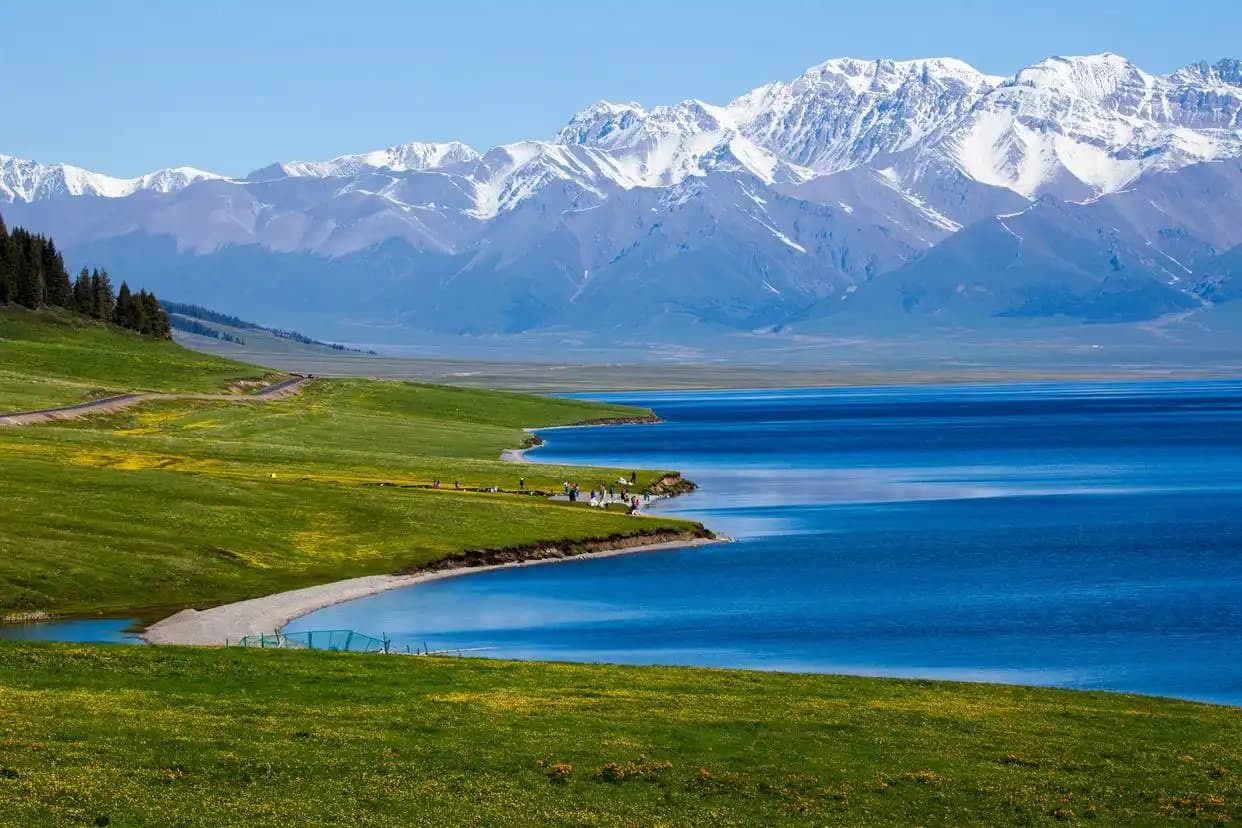
The Xinjiang Bingtuan: How China’s Production and Construction Corps Shaped the Map You’ll Travel
The first time I drove south from Urumqi toward Korla, I kept noticing something odd on the map: neat grids of green fields and brand-new cities sitting in the middle of what should have been desert. My driver shrugged and said one word — bingtuan. If you travel Xinjiang for more than a week, you will meet the Bingtuan whether you plan to or not, because it built a large share of the oases, roads, and cities you will sleep in. Understanding what it is turns a confusing patchwork of numbered farms into a story about how modern Xinjiang was physically made.
What the Xinjiang Bingtuan Actually Is
The Xinjiang Production and Construction Corps (XPCC), known locally as the Bingtuan, is a unique state-organised settlement system that combines agricultural production, garrison duties, and municipal administration. It was formalised in the 1950s, drawing on demobilised soldiers, volunteers from inland provinces, and youth sent west during the “Around the Mountain” and “Build the Border” campaigns. Rather than a tourist attraction, it is the social and economic machinery behind the green belts you see from the train window.
Why it was created
The logic was simple: hold the frontier by filling it with people who farm. Units were stationed along vulnerable corridors — the Ili Valley, the Tarim Basin rim, the Gobi approaches to Korla and Aksu — and told to turn wasteland into farmland. Where they succeeded, oasis towns appeared. Where they failed, you still see abandoned windbreaks. The Corps was never only about farming: it was a civilian wall, a way to make sovereignty tangible by planting wheat and poplars where there had been nothing.
How the Bingtuan Changed the Map You Travel
Almost every city on the northern route has a Bingtuan origin story. Shihezi, the clean grid city between Urumqi and the north, was literally carved from desert by the 8th Agricultural Division. Korla’s pear orchards, Aksu’s apple belts, and the cotton sea around Bachu all trace back to division farms. When you look at a satellite view of the Tarim Basin, the contrast is stark: grey desert, then a sudden hard rectangle of green. That rectangle is almost always a division.
Division numbers on signs
You will see blue road signs reading “Xth Division Farm” or “Nong X Shi” (Agricultural Division X). These are not villages in the ordinary sense — they are corporate-towns that run their own schools, hospitals, and police. Knowing this explains why some “towns” feel unusually orderly and why the same brand of red-cellophane-wrapped raisins is sold everywhere. The numbers are not random: each division is tied to a region, a crop, and a founding unit, so “2nd Division” means Korla and its pears, while “1st Division” means Aksu.
What Travelers Actually Notice
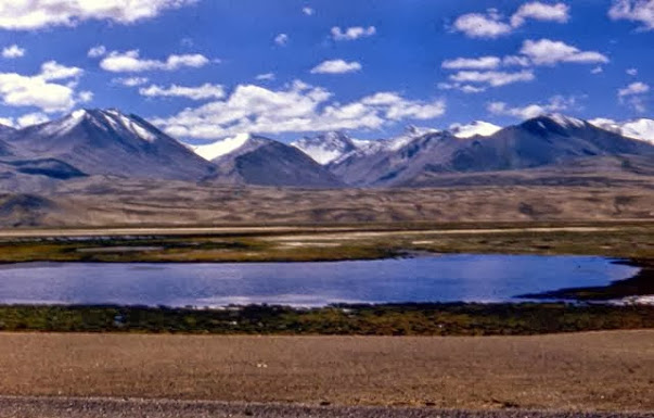
For the average visitor the Bingtuan shows up in three quiet ways. First, the field grids: endless rectangles of cotton, wheat, maize, and tomatoes separated by poplar windbreaks, best appreciated from the Tianshan foothills where the green meets the grey. Second, the cities: wide streets, dense poplar plantings, and Soviet-influenced civic blocks. Third, the food: division canteens and roadside stalls serve hearty, cheap Han-style canteen meals — dumplings, braised pork (a rarity elsewhere in halal Xinjiang), and corn porridge — that you will not find in the old Uyghur quarters.
The economic footprint is hard to overstate. The Corps grows a large share of China’s cotton and tomatoes, runs its own construction firms, and operates utilities in the areas it administers. For you as a traveler this translates into something practical: reliable hotels, plentiful cheap fruit, and well-paved roads even in places that look remote on paper. The flip side is a certain uniform sameness — many division towns share a layout, a poplar species, and a main square with a statue. After a while you start recognising the pattern, which is exactly the point of this article.
| Division / City | What it became | Travel relevance |
|---|---|---|
| Shihezi (8th Div.) | Model green city | Overnight stop, reclamation museum |
| Korla (2nd Div.) | Pear capital | Gateway to Taklamakan Highway |
| Aksu (1st Div.) | Apple & cotton belt | Base for southern route |
| Bole / Ili (5th Div.) | Grain & pasture | Ili Valley scenic drive |
| Kuitun (7th Div.) | Transport hub | Highway junction north of Urumqi |
A Short, Honest History Timeline
The Corps was founded in 1954, downsized during the early reforms, then massively expanded in the 1990s and 2000s as Beijing pushed westward development. Today it administers several “county-level cities” that are not part of the normal provincial hierarchy. This is why your GPS may show two overlapping jurisdictions for the same patch of ground — a prefecture and a division.
| Year | Milestone | What it means for you |
|---|---|---|
| 1954 | XPCC formally established | First reclamation cities appear |
| 1980s | Reform-era contraction | Many farms modernised |
| 2000s | Western development push | New division cities (Korla, Aksu belts) |
| 2010s+ | Cotton & fruit boom | Cheap, abundant local produce |
Etiquette and Practical Notes
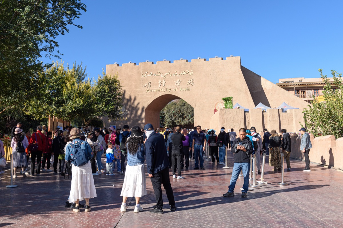
The Bingtuan is not a sight you “visit” with a ticket, but several museums tell its story — the Shihezi Reclamation Museum is the best. Treat division towns as normal Chinese small cities: cashless payments work, lodgings are licensed, and the halal / non-halal split is real — Bingtuan areas often have pork on the menu, while the old towns do not. If you are a vegetarian used to Uyghur bread-and-veg tables, the Han canteens are actually a welcome change.
How to fold it into your itinerary
You do not need a separate “Bingtuan day.” Instead, when you overnight in Shihezi, Korla, Aksu, or Kuitun, set aside an hour for the local reclamation museum and a walk through the poplar-lined blocks. The contrast with the adjacent historic Uyghur quarter — mud-brick, winding, aromatic — is the real lesson, and it is free. I have done this in three cities now, and each time it reframed the rest of the trip.
Photography caution
Military and active reclamation infrastructure near borders is sensitive. Stick to landscapes, markets, and museums, and never photograph checkpoints or fence lines. This is the same rule that applies everywhere along the controlled border corridors of the region.
The thing that changed my reading was realising the bingtuan are not a sightseeing attraction at all, they are a farming and construction system that happens to look scenic. Once I understood that, the grids of poplar trees and the state orchards stopped being filler between attractions and became the reason the road between them is in good shape. I now plan one bingtuan-adjacent stop per trip deliberately, and it is always the quietest hour of the day.
Frequently Asked Questions
Is the Xinjiang Bingtuan a tourist attraction?
Not really. It is a working administrative and economic system. The closest thing to a visitor experience is the Shihezi Reclamation Museum and the poplar-lined division highways, which are genuinely scenic in autumn.
Will I accidentally book a hotel inside a Bingtuan city?
Almost certainly, if you overnight in Shihezi, Korla, Aksu, or Kuitun. They are normal, safe, licensed cities — you simply will not realise the “division” backstory unless you look at the maps.
Does the Bingtuan affect what food is available?
Yes. Division towns have Han canteens serving dumplings, noodles, and sometimes pork, whereas the historic Uyghur quarters are halal. Both sit side by side in most cities.
Can I photograph the farms and fields?
Landscape and market photography is fine. Avoid checkpoints, fence lines, and anything that looks like active military or sensitive infrastructure, especially near borders.
Is it worth learning the word “Bingtuan” before I go?
It helps you read the map and understand why the north route looks like a planned grid. Locals appreciate that you know the term, and it opens up conversations about where their family came from.
Do I need a special permit to visit Bingtuan areas?
No. Division cities and farms on the regular tourist route are open. Only specific border zones require the separate permit covered in our border guide.