Shipping Your Xinjiang Souvenirs Home: What Posts, What Breaks, and What It Costs
Buying in Xinjiang is easy; getting it home is the hard part. What ships well, what breaks, customs notes, and how I pack a carpet.

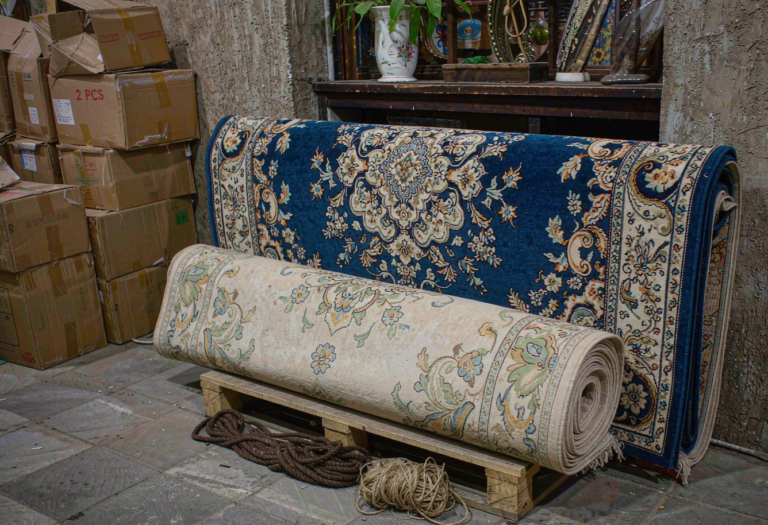
Buying in Xinjiang is easy; getting it home is the hard part. What ships well, what breaks, customs notes, and how I pack a carpet.
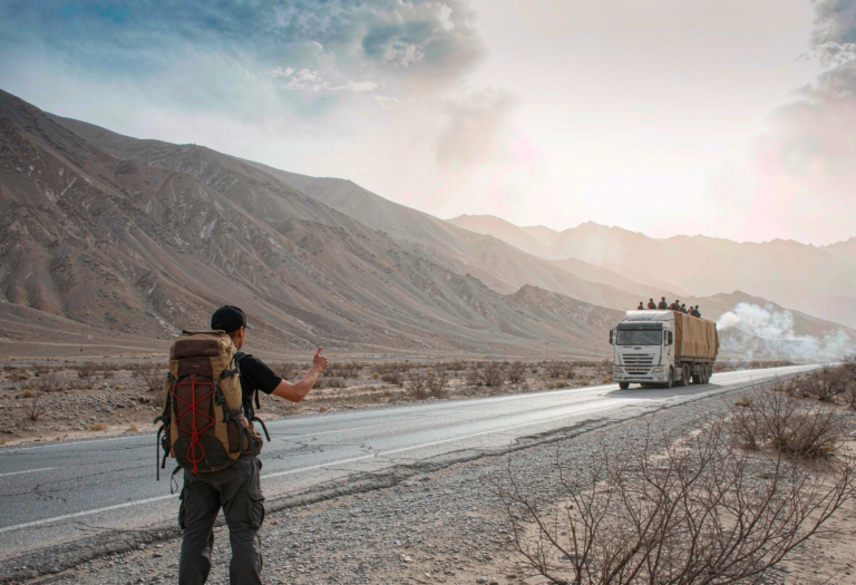
Hitching rides in Xinjiang is slower than driving yourself but full of moments. What I learned riding with strangers, and when to just rent the car.
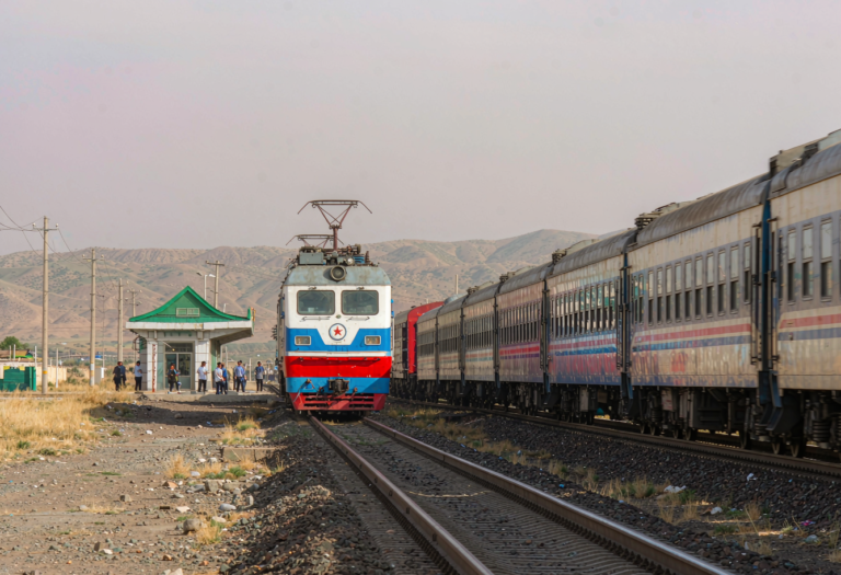
The international train from Urumqi to Almaty is a real border crossing by rail. What the trip is like, what papers you need, and how it compares to flying.
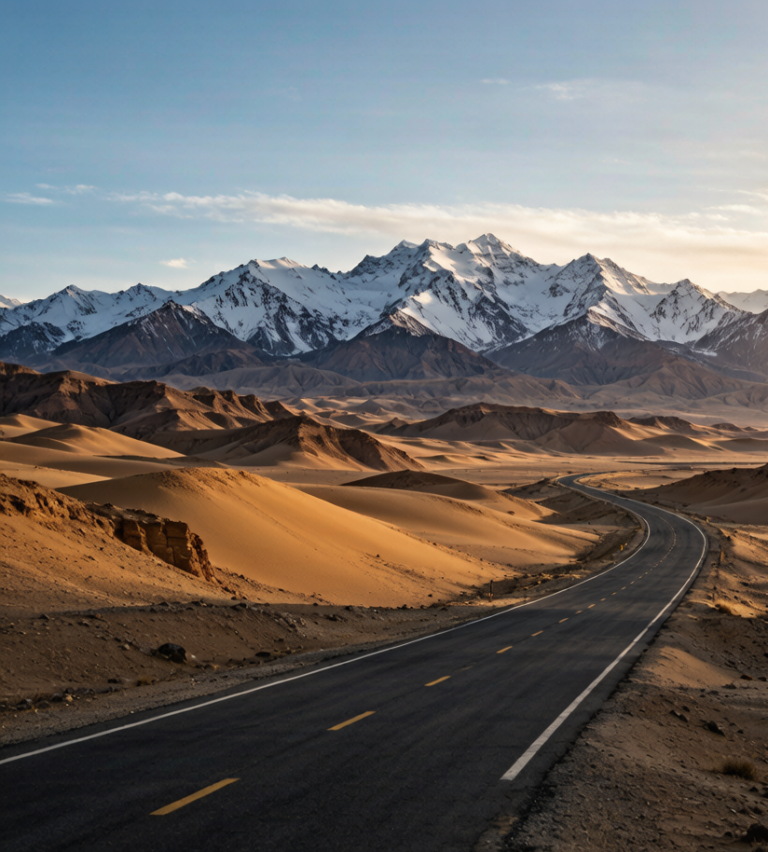
A southern Xinjiang loop from Kashgar takes in the Pamir plateau, the Taxkorgan valley, and the desert highways. Here is a realistic routing with the permit and altitude realities.
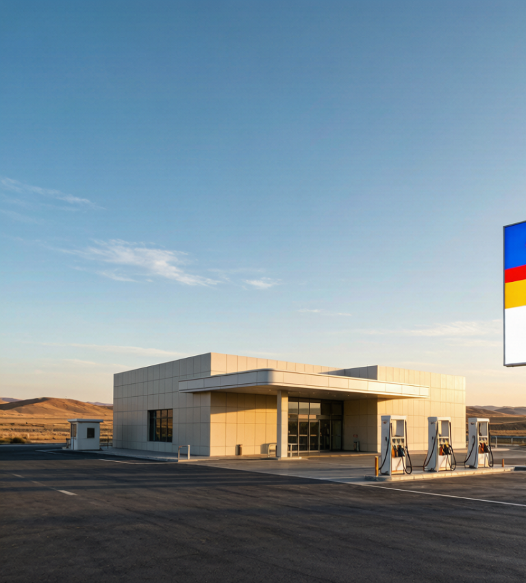
Service areas on Xinjiang’s expressways are better than you expect but uneven in the far west. Here is what you will find, what you won’t, and how to plan fuel and food around them.
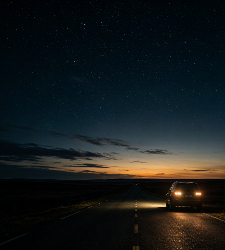
Long summer days make night driving tempting in Xinjiang, but wildlife, fatigue, and checkpoints change the math. Here is when to drive after dark and when to stop.
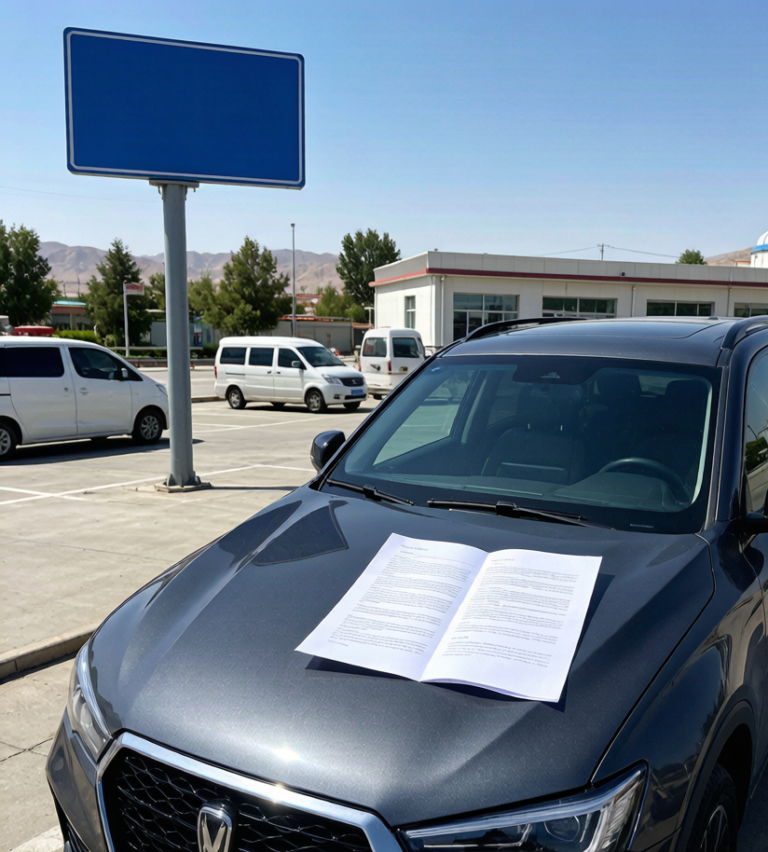
Renting a car in Xinjiang means understanding the insurance before you sign. Here is what the policies cover, the gaps that bite, and how to pair it with your own travel cover.
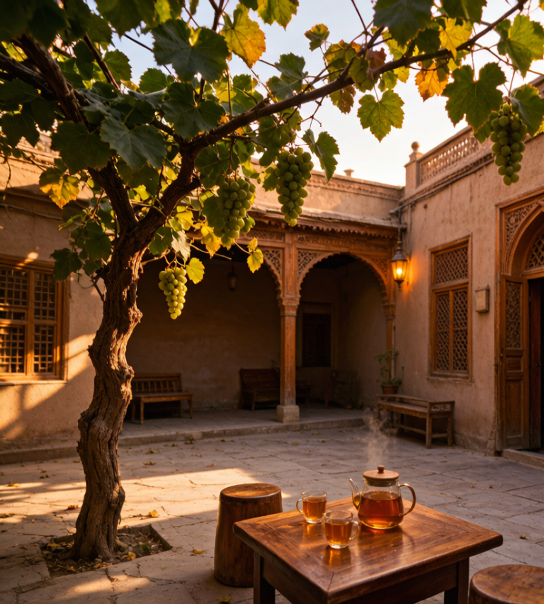
A Uyghur homestay is the most human way to travel Xinjiang. A first-hand account of hospitality, meals, and etiquette.
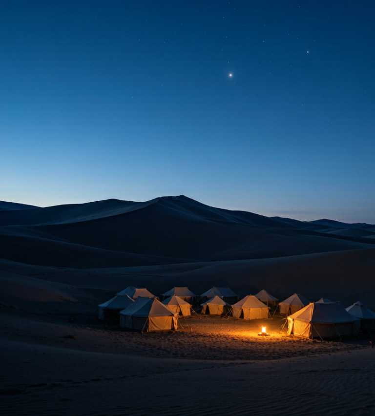
From simple tented camps to starlit desert stays, here is how overnighting in Xinjiang’s sand fits a self-drive itinerary.
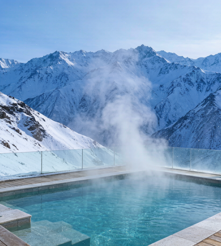
After long desert drives, Xinjiang’s hot-spring stays are the reset button. A first-hand look at where they fit in a road trip.