Ili Valley Scenic Drive: Yining to Nalati and Kuerdening
Northern Xinjiang has the deserts and the Altai; the Ili Valley has everything else — rivers, orchards, meadows, and a light so soft it feels European. Tucked against the Kazakhstan border, it’s the region’s green heart and, happily, one of its easiest places to self-drive. The loop from Yining east to Nalati and Kuerdening is the classic, and you can do it in two or three relaxed days.
No border permit needed here — just a good map and a sense of when the grasslands peak.
The Route
Yining (Ghulja). The valley hub, full of tree-lined streets and a famous night market. Start here, fuel up, and grab provisions.
Guozigou (果子沟). East of Yining, the G30 climbs through a pine gorge and over a spectacular cable-stayed bridge — pull over at the viewpoints; it’s one of the most photographed spans in China.
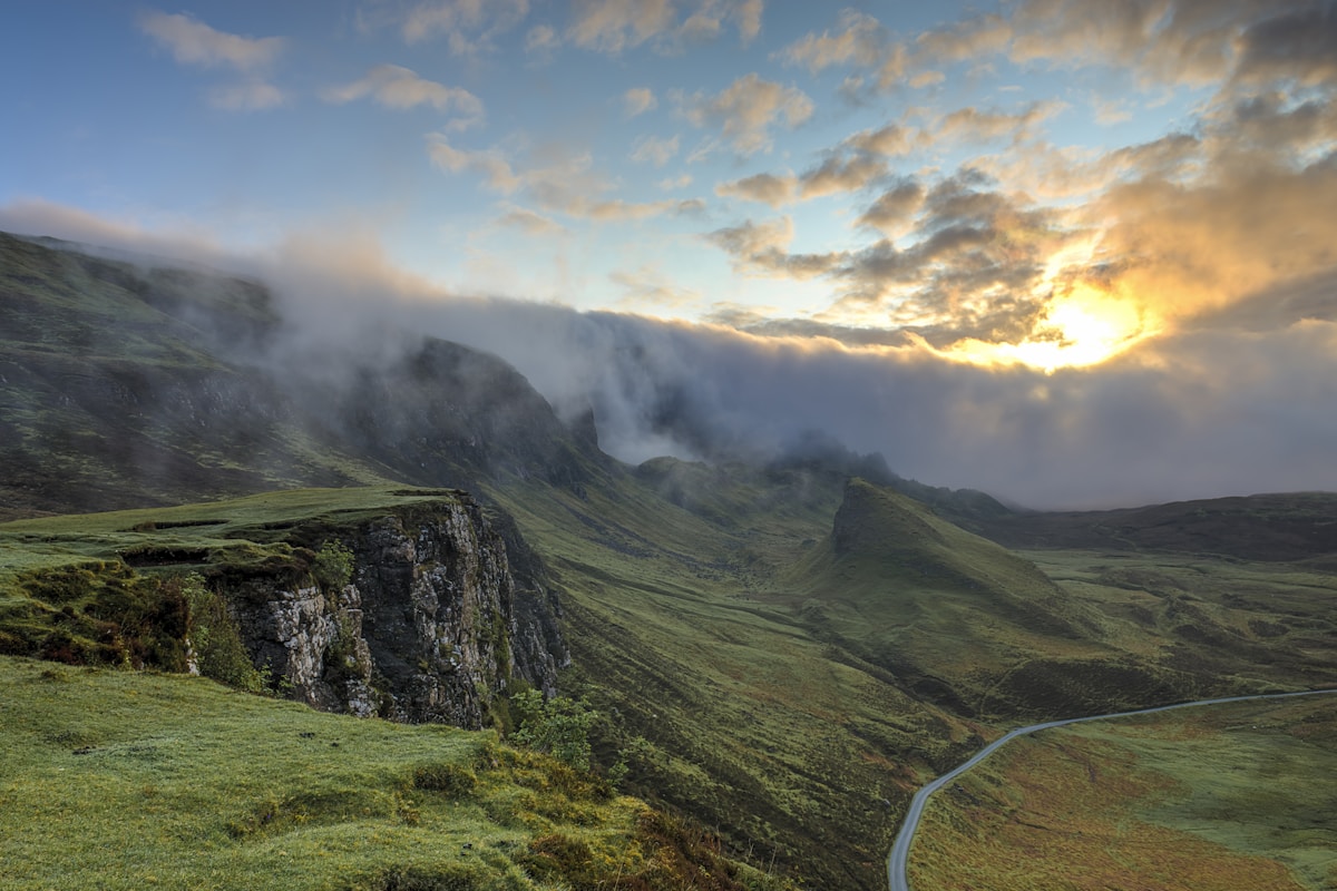
Nalati Grassland (那拉提). A vast alpine meadow with Kazakh yurts and cable cars. Overnight in the scenic area or a nearby town.
Kuerdening (库尔德宁). South via a quieter road into a UNESCO forest-grassland reserve, less crowded than Nalati and arguably lovelier.
Timing the Grass
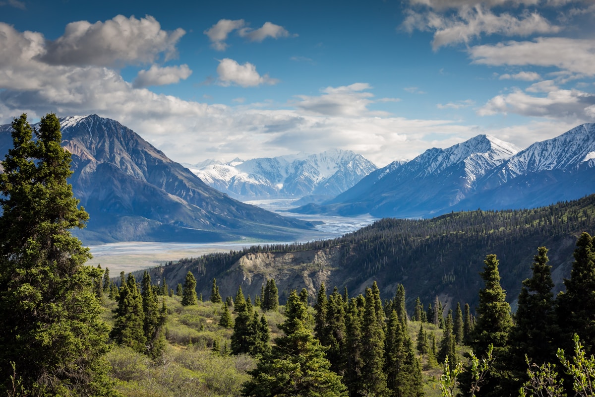
Late May through July is peak green; June brings wildflowers across the meadows. Autumn (late September) turns the valleys gold and is far less busy. Winter is quiet and sometimes snow-closed on the high roads. The valley is also famous for apricot and apple blossoms in spring around Yining.
The checkpoints, honestly
Keep passport and car documents in the glovebox rather than the boot so you are not unpacking in front of a queue. Write down the address of tonight’s accommodation, because that is the question they ask. Nobody has ever been rude to me at one of these. They are tedious rather than dangerous, and the driver’s document pack is the only thing that makes them quick. You will stop at checkpoints. They are short, they are not hostile, and the whole process for a foreign plate takes longer than for a local one because the officer has to make an entry.
What winter does to this road
The surface is fine. Drive it in summer and none of this matters. Between November and March you are planning around a gate that moves. The problem is that a pass at this height can shut for a day with no warning and reopen at dawn, and nobody announces it until somebody radioes it in. Snow chains help, warm layers in the cabin matter more, and a full tank matters more than both. That stretch of the trip is described in our [[ili-valley-3-day-itinerary-yining-nalati-kuerdening|Ili Valley 3-Day Itinerary: Yining, Nalati,…]] too.
What a local driver would refuse to do
My host in Ili said the pass was two hours, meaning two hours driving without the stops, and that is the number to plan around, not the one the map shows. A driver who knows this road gives you the honest distance. What they will refuse is a night drive over the high sections in winter, and they are right. What they will happily do is leave at five in the morning to catch the light, and that is the version worth asking for. If the timing is the question, our [[yining-ili-valley-xinjiang-travel-guide|Yining and the Ili Valley in Spring: The…]] goes through it properly.
Where to sleep on the road and where to park
Ask for a room away from the yard, since the yard is where the trucks sleep. In Ili the hotels cluster along the through road and the value one is usually the second block back, five minutes from the misnamed central place and half the price. The county town on this route is where to overnight, not the scenic stop, because the scenic stops have no quiet parking and no kitchen open after eight.
Fuel, and the gaps where there is nothing
Every town on this route has a station and every station takes cards, which is the good news. The bad news is the distance between them through the middle sections, enough that a full tank is arithmetic rather than paranoia. Fill before you leave anything with a city name on the map, even if the next is only ninety minutes out. I have been on a road in this region where the next fuel was two hours back, the reason being a closure, and the only thing that got me moving was a trucker with a spare can. That stretch of the trip is described in our [[ili-valley-3-day-itinerary-yining-nalati-kuerdening|Ili Valley 3-Day Itinerary: Yining, Nalati,…]] too.
Logistics
Roads are paved and well-marked; the only tricky bit is the mountain pass between Nalati and Kuerdening, which is narrower and slower but scenic. Fuel is easy in Yining and the towns; top up before the reserves. Accommodation ranges from yurt stays to solid hotels in Yining and Xinyuan. The loop works as a counterpoint to a northern Xinjiang lake-and-desert trip — green instead of blue, calm instead of vast.
Why It’s a Self-Drive Favorite
The distances are short, the roads are good, and the scenery changes every twenty minutes. You can stop at a roadside beekeeper, pull over for a herd crossing, or chase evening light on the meadow without a tour clock breathing down your neck. For many regulars, the Ili loop is the most relaxing drive in all of Xinjiang.
Building a grassland itinerary? My Nalati Grassland: Riding into Xinjiang’s Most Famous Alpine Meadow covers how to get to Nalati and the best time to go.