Xinjiang Road Trip Budget: Fuel, Tolls, and Vehicle Costs for the Self-Drive Traveler
Budget a Xinjiang self-drive trip: real fuel, toll, rental, and insurance costs for the region’s long-distance routes.

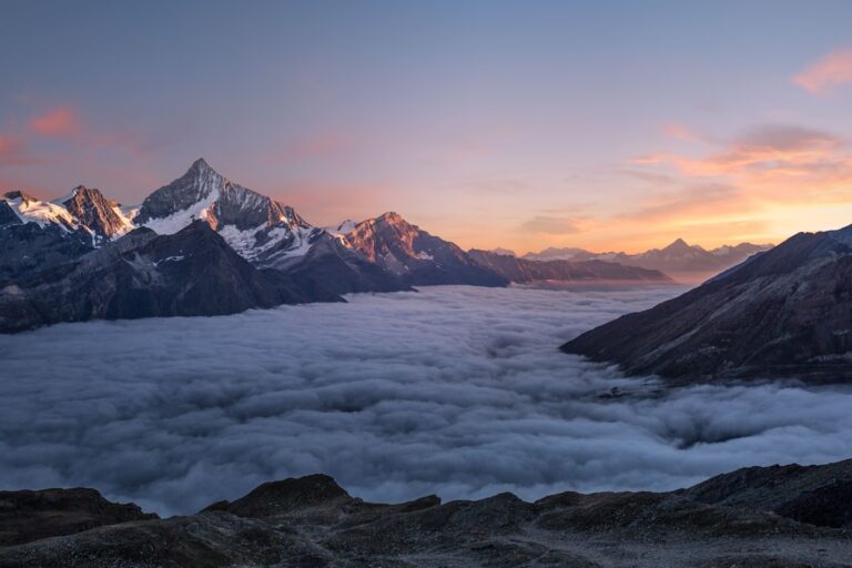
Budget a Xinjiang self-drive trip: real fuel, toll, rental, and insurance costs for the region’s long-distance routes.
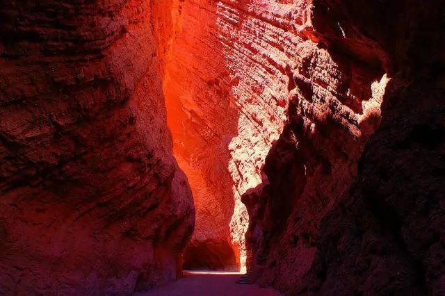
How to navigate Xinjiang by car with no phone signal: the best offline map apps, paper backups, and route-planning habits for remote self-drive trips.
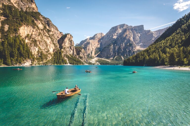
The G3012/Turpan-Hotan highway crosses the edge of the Taklamakan Desert. A self-drive guide to fuel, distances, and what to see on the desert road.
Self-driving is the best way to reach Xinjiang’s remote beauty. Learn about licenses, costs, road rules, and the classic routes before you rent.
The Taklamakan Desert Highway crosses the world’s second-largest shifting-sand desert on a 500 km causeway. Here’s the route, the fuel stations, the season, and how to drive the ‘Sea of Death’ safely.
The Panlong Ancient Road in the Pamir Mountains packs over 600 switchbacks into a single mountain — a driver’s rite of passage. Here’s the route, the season, and how to drive it safely.
The G314 from Kashgar to Tashkurgan is the most dramatic self-drive in southern Xinjiang — Pamir peaks, Karakul Lake, and Tajik villages. Here’s the route, permits, fuel, and overnight plan.
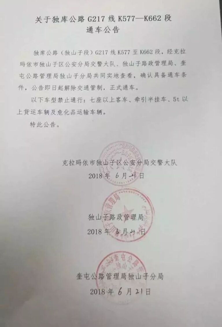
The northern half of the Duku Highway — Dushanzi to the Tianshan passes — is the most scenic stretch. Here’s the route, the tunnels, the Nomohan view, and the season it opens.
You don’t have to cross the desert to feel it. This self-drive skirts the Taklamakan’s rim through Hotan, Kashgar, and Aksu — oasis towns, silk history, and dune edges without the straight-line slog.
The Urumqi–Kashgar drive is the classic Xinjiang traverse — 1,500 km of desert, mountain, and oasis. This guide covers the route options, overnight stops, and how to split the days.