Taklamakan Desert Highway: Crossing the ‘Sea of Death’ by 4×4
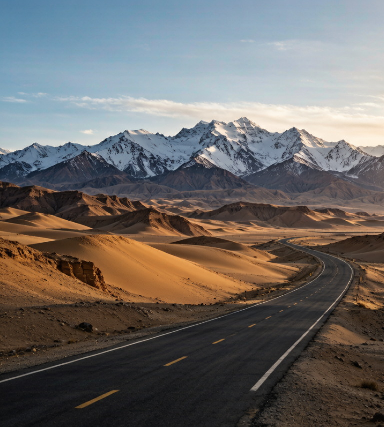
The Taklamakan is the second-largest shifting-sand desert on earth, and for centuries it was considered uncrossable — the ‘Sea of Death’ that swallowed caravans and inspired the name (often translated as ‘you go in and don’t come out’). Today a highway runs straight across its heart: the Tarim Desert Highway (沙漠公路), a ~520 km causeway from Lunnan to Minfeng that lets you drive from one edge of the Tarim Basin to the other in a single day. For self-drivers, it is one of the most surreal experiences in Xinjiang.
This is not a scenic mountain road. It is a straight line through nothing — and that is exactly the point.
The Route
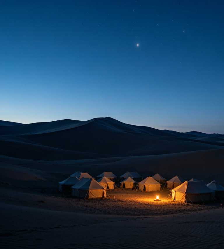
The main crossing links the northern Tarim rim (near Korla/Lunnan) to the southern rim (Minfeng, on the Hotan–Kashgar road). The road is arrow-straight for long stretches, flanked by a engineered belt of saxaul shrubs and woven fences designed to hold back the dunes. Halfway, a lone service station (the ‘desert highway stop’) breaks the monotony with fuel, water, and a few rooms.
A second, longer route (the 217) runs from Aksu down to Hotan through the desert interior — even more remote. Both are paved and maintained, but the straightness and the silence are the same.
Why Drive It
It is a bucket-list contrast: one morning you are in an oasis town; by afternoon you are surrounded by dunes with no horizon but road. The light is extraordinary — flat, bright, and colorless except for the sand. Photographers love the abstraction; everyone else loves the strangeness of a gas station in the middle of nowhere.
It also connects itineraries: cross north-to-south and you can link Korla or Aksu with Hotan and the southern Silk Road without backtracking through Kashgar.
The checkpoints, honestly
Keep passport and car documents in the glovebox rather than the boot so you are not unpacking in front of a queue. Write down the address of tonight’s accommodation, because that is the question they ask. They are tedious rather than dangerous, and the driver’s document pack is the only thing that makes them quick. Nobody has ever been rude to me at one of these. You will stop at checkpoints. They are short, they are not hostile, and the whole process for a foreign plate takes longer than for a local one because the officer has to make an entry. I wrote the driving side up in our [[taklamakan-desert-highway-crossing-taklamakan-desert-guide|Taklamakan Desert Highway Practical Guide:…]] as well.
What winter does to this road
The surface is fine. Snow chains help, warm layers in the cabin matter more, and a full tank matters more than both. The problem is that a pass at this height can shut for a day with no warning and reopen at dawn, and nobody announces it until somebody radioes it in. Between November and March you are planning around a gate that moves. Drive it in summer and none of this matters. Where most people get the logistics wrong is covered in our [[crossing-the-taklamakan-driving-the-turpan-hotan-desert-highway-g3012|Crossing the Taklamakan: Driving the…]].
Practical Realities
Fuel. Fill up before entering and at the mid-desert station. Do not attempt the crossing on less than a half tank; the next fuel may be 250 km away.
Water and shade. Carry more water than you think. Breakdowns in summer heat are serious; a reflector, a charged phone, and a paper map are essential because signal is sparse.
Season. Spring and autumn are safest. Summer is brutally hot (the sand radiates heat; surface temps exceed 60°C). Winter is cold but clear. Avoid the windy spring sandstorm windows when visibility drops to nothing.
Vehicle. A normal car drives the paved road fine, but a 4×4 is reassuring if you leave the tarmac for dune viewpoints or side tracks. Tell someone your plan and expected arrival; the desert does not forgive silence.
Safety Notes
Do not stop on the dunes to walk far from the car — disorientation in featureless sand is real. Watch for sand on the road after storms; it can pile fast. And never drive it at night if you can avoid it; unlit vehicles and drifting sand make it dangerous.
The Taklamakan crossing is the antidote to every mountain-and-lake itinerary in the region. It is boring in the best way — a meditation on scale and emptiness that you remember precisely because there was nothing there. For the self-drive chapters of our Xinjiang Travel Guide, it is the one route that proves Xinjiang is as much about its deserts as its peaks.