Fuel, Car Rental & Logistics: The Self-Drive Backbone in Xinjiang
The romance of a Xinjiang self-drive is the open road; the reality is the logistics. Fuel spacing, rental rules, and a little paperwork decide whether your trip flows or strands you at a closed station at dusk. Get the backbone right and the freedom is real. This is the unglamorous-but-essential guide.
Fuel is the first thing to master.
Fuel in the Wild
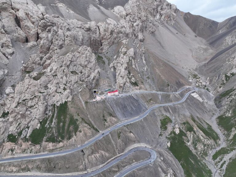
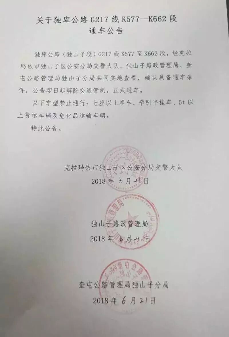
Cities and towns have plentiful stations (often with attendants who fill for you — hand over the key fob or cash). The gaps are real in the mountains and deserts: on the Duku, Pamir, and Taklamakan crossings, the next fuel can be 200–300 km away. Rule: never enter a remote stretch below half a tank, and fill at every town. Stations may ask to see your passport and may be cash or app only at remote ones — carry both.
Rental Rules
Major cities (Urumqi, Kashgar, Yining) have the big agencies and some international-brand partners; book ahead in summer. You’ll need a valid Chinese driving permit or an international driving permit accepted locally — confirm before arrival, as rules tighten. Most rentals are manual; automatics cost more and sell out. A hired car with a driver sidesteps the permit question entirely and is popular for the Pamir and remote loops.
The checkpoints, honestly
Nobody has ever been rude to me at one of these. Write down the address of tonight’s accommodation, because that is the question they ask. They are tedious rather than dangerous, and the driver’s document pack is the only thing that makes them quick. You will stop at checkpoints. They are short, they are not hostile, and the whole process for a foreign plate takes longer than for a local one because the officer has to make an entry. Keep passport and car documents in the glovebox rather than the boot so you are not unpacking in front of a queue.
What a local driver would refuse to do
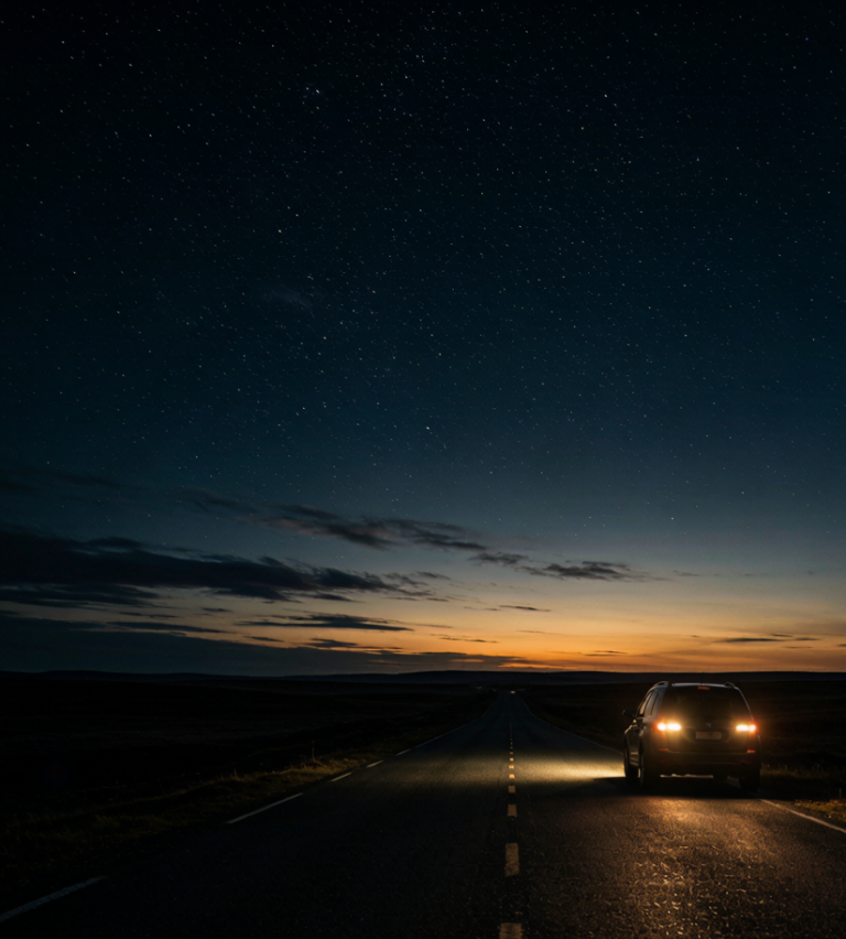
A driver who knows this road gives you the honest distance. What they will happily do is leave at five in the morning to catch the light, and that is the version worth asking for. My host in Xinjiang said the pass was two hours, meaning two hours driving without the stops, and that is the number to plan around, not the one the map shows. What they will refuse is a night drive over the high sections in winter, and they are right. That stretch of the trip is described in our [[car-rental-xinjiang-self-drive-guide-2026|Car Rental in Xinjiang: What Foreigners…]] too.
What winter does to this road
Drive it in summer and none of this matters. Snow chains help, warm layers in the cabin matter more, and a full tank matters more than both. Between November and March you are planning around a gate that moves. The problem is that a pass at this height can shut for a day with no warning and reopen at dawn, and nobody announces it until somebody radioes it in. The surface is fine. For the part people underestimate, see our [[xinjiang-self-drive-travel-guide|2026 Xinjiang Self-Drive Travel Guide]].
Where to sleep on the road and where to park
The county town on this route is where to overnight, not the scenic stop, because the scenic stops have no quiet parking and no kitchen open after eight. In Xinjiang the hotels cluster along the through road and the value one is usually the second block back, five minutes from the misnamed central place and half the price. Ask for a room away from the yard, since the yard is where the trucks sleep. I wrote the driving side up in our [[train-vs-self-drive-vs-flight-xinjiang|Train vs Self-Drive vs Flight: How I Choose…]] as well.
The Admin
For foreign drivers, the border permit (for Tashkurgan/Baihaba) is the extra step; the main roads don’t need it. Carry passport and visa always — checkpoints scan them. Insurance: confirm the rental covers the region’s long, remote roads; add the maximum if unsure. A basic tool kit, a spare, and a power bank round out the car. Tell someone your route for desert/mountain legs.
Making It Smooth
Plan overnights around fuel towns, not scenery alone. Download offline maps. Keep the rental contact saved. And build buffer time — a closed pass or a long fuel line is normal, not a crisis. The logistics are the price of the freedom; do them once, well, and the road is yours.