Sayram Lake Sunrise, Cycling, and Best Time: An Alpine Lake Plan
They call Sayram the “last tear of the Atlantic” because weather systems from the west die here in the Tian Shan. I cycled a third of its 90 km shore and watched the water shift from steel blue to silver as the sun came up behind the Guozigou Bridge. Sayram is the highest and largest alpine lake in Xinjiang, and it rewards travellers who slow down more than almost any stop on the Ili loop.
Why Sunrise Is the Moment
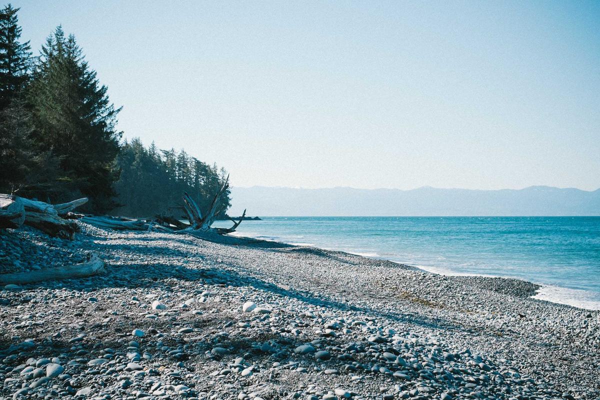
The lake sits at about 2,070 m in a bowl, so the first light hits the western ridges and slides across the water while the eastern shore is still in shadow. The shore road has pull-offs every few kilometres; I picked a quiet eastern bay, arrived 40 minutes before sunrise, and had the place to myself while a family of swans drifted past. That half hour was the best part of a two-week trip.
Cycling the Shore
The ring road around the lake is paved and mostly flat, about 90 km total. Rental bikes (and e-bikes) are available at the south gate in season. A full loop is a serious ride; most visitors do a 10–20 km out-and-back from the south gate toward the grassland side, which is enough to feel the scale without cramping.
| Option | Distance | Effort | Best for |
|---|---|---|---|
| South gate out-and-back | 10–20 km | Easy | Families, sunrise |
| Half loop to west bay | ~45 km | Moderate | Fitness cyclists |
| Full ring road | ~90 km | Hard | Training rides |
Best months, honestly
June–July brings wildflowers in the adjacent grassland and the bluest water. August is busy. September is crisp and golden with few people. Winter (when open) freezes the lake and you may need to think about snow closures on the access road. Wind picks up after midday, so ride and shoot in the morning, then drive the loop in the afternoon when the light flats.

Where to sleep on the road and where to park
In Sayram the hotels cluster along the through road and the value one is usually the second block back, five minutes from the misnamed central place and half the price. Ask for a room away from the yard, since the yard is where the trucks sleep. The county town on this route is where to overnight, not the scenic stop, because the scenic stops have no quiet parking and no kitchen open after eight. If the timing is the question, our [[sayram-lake-travel-guide|Sayram Lake for First-Timers: Half-Day vs…]] goes through it properly.
Fuel, and the gaps where there is nothing
Fill before you leave anything with a city name on the map, even if the next is only ninety minutes out. The bad news is the distance between them through the middle sections, enough that a full tank is arithmetic rather than paranoia. Every town on this route has a station and every station takes cards, which is the good news. I have been on a road in this region where the next fuel was two hours back, the reason being a closure, and the only thing that got me moving was a trucker with a spare can. I wrote the driving side up in our [[sayram-lake-travel-guide-xinjiang|Sayram Lake Practical Guide: Tickets, the…]] as well.
Linking It With the Ring Road
Sayram anchors the northern Ili loop. From the lake, the road dives through the Guozigou gorge to Yining and the Ili Valley. Many travellers overnight at the lake’s camping zones to catch both sunset and sunrise; book the campsites ahead in July, because the lakefront spots are limited and popular with photographers.
What to bring on the bike
A wind layer even in July, sunscreen (the altitude UV is fierce), and water. The shore has few services once you leave the south gate, so carry more than you think. The e-bikes are a blessing if the afternoon headwind picks up on the way back.
Questions I get at the travel desk
Can I camp at Sayram Lake?
Yes, designated camping and RV zones exist, and they are the best way to catch both sunset and sunrise. Reserve in peak season; nights are cold even in summer, often near 5°C, so a proper sleeping bag matters.
Is the cycling loop safe?
The road is shared with tour buses. Ride single file, wear bright colours, and avoid the windy afternoon window. The east shore is calmer than the main gate approach and better for a relaxed ride.
What is the water temperature?
Glacial and cold year-round; swimming is not practical. Wading at the edge is fine on a warm afternoon but numbingly cold within seconds, and the shore is often protected wetland.
How long should I spend?
Half a day for a drive-through, a full day if you cycle or photograph, and two days if you camp. The lake rewards patience more than any other stop on the Ili loop, and rushed visits miss its whole character.
Do I need a border permit?
The lake itself is not in a border zone, so no. But if you continue west toward Khorgas, carry ID and check current crossing rules, because that corridor is sensitive.