The Duku Highway: Driving China’s Most Spectacular Road
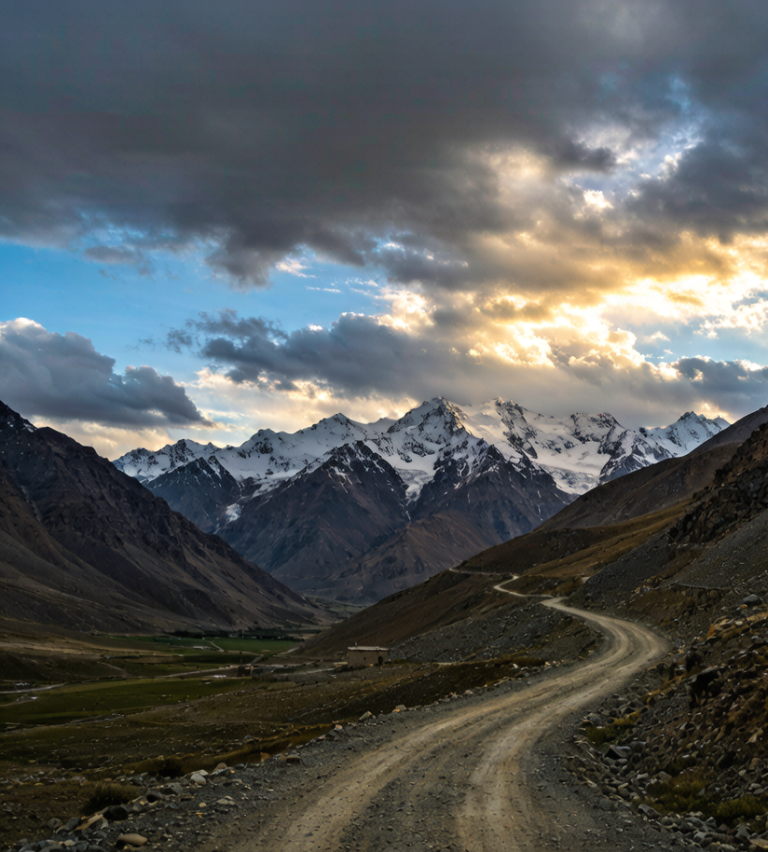
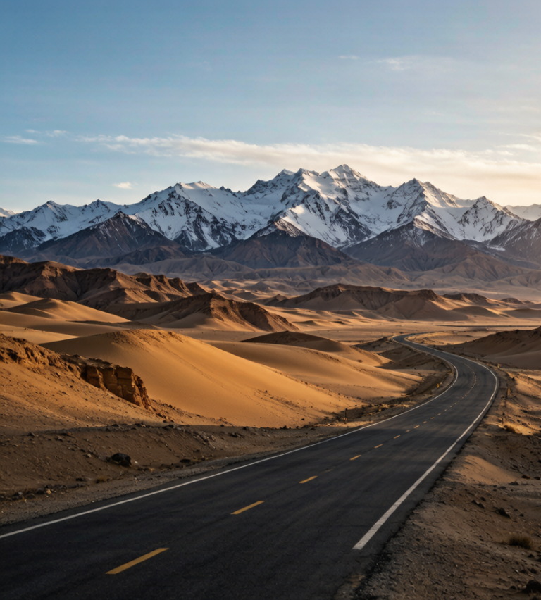
The Duku Highway (G217, Dushanzi–Kuqa) is the road trip that turns casual visitors into lifelong Xinjiang devotees. In 561 km it climbs from the Dzungaria Basin, crosses the spine of the Tianshan at over 3,400 m, and drops into the Tarim Basin — compressing desert, glacier, canyon, and alpine meadow into a single day behind the wheel. I have now driven it twice, once north-to-south and once in reverse, and both times the pass near Hashilegen still had snow on the ground in July.
Named for its endpoints, it was built by the PLA over a decade and cost 168 soldiers their lives; the roadside monuments at Qiaerma mark that sacrifice. Today it is a paved, spectacular, and increasingly popular ribbon of asphalt that is closed in winter (roughly November to May) because of snow and ice at the high passes.
At a glance
- Length: 561 km, north (Dushanzi) to south (Kuqa).
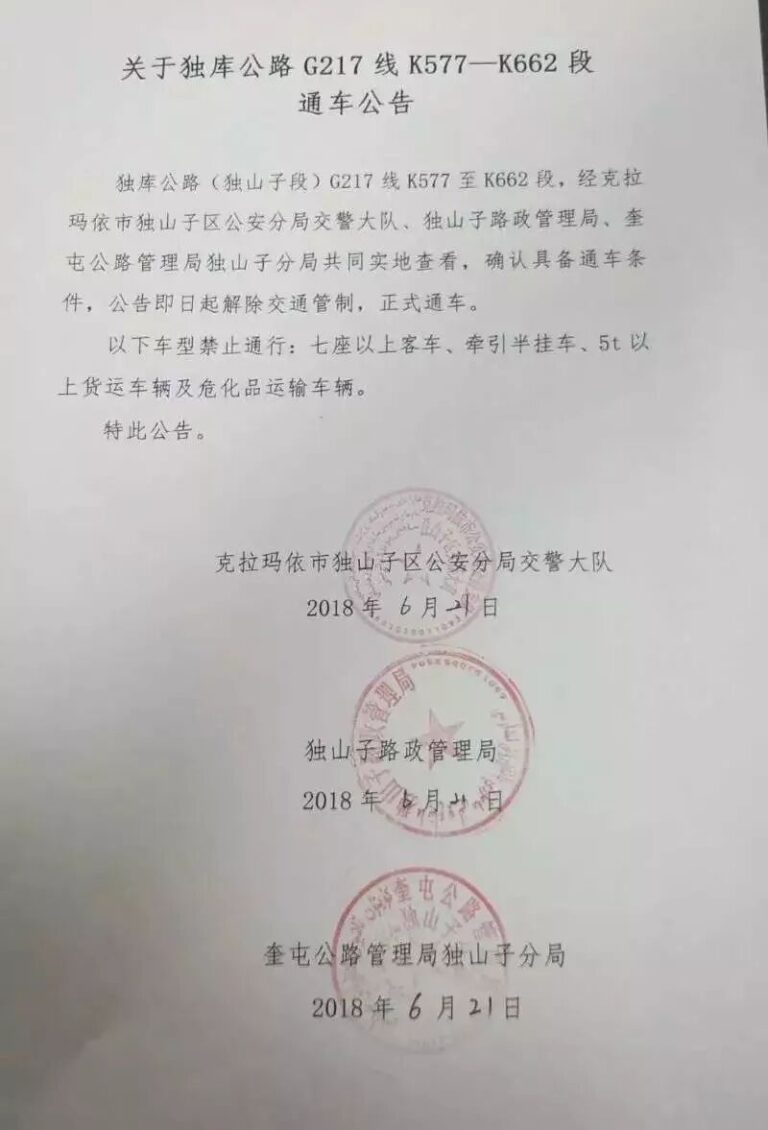
- Season: Typically early June to late October. For 2026 the full opening is set for 1 June — but dates shift with snow, so confirm before you go.
- 2026 daily window: Open roughly 08:00–19:00 (extended to 21:00 on the Kuruli–Nalati stretch). Night driving is not allowed.
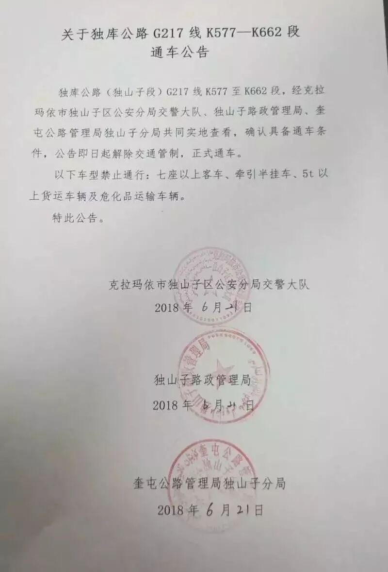
- Vehicle rule: Private cars with 7 seats or fewer. Free except for about ¥20 toll at the Yanshuigou station near Kuqa. Speed limit 40–60 km/h, up to 80 km/h on flat sections.
- Top altitude: Hashilegen Pass (~3,400 m) — you can touch snow here even in midsummer.
North section: Dushanzi → Qiaerma (rugged mountain road)
Leave Dushanzi and soon enter the red rock of the Dushanzi Grand Canyon, then climb through spruce forest. At Hashilegen Pass the road tops out near 3,400 m — the snow-hedge tunnel entrance here is the classic photo stop. Continue to the Qiaerma Martyrs’ Cemetery, where 168 soldiers who died building the road are buried; it is a worth-a-pause stop. Fuel up at Dushanzi or Qiaerma, as these are the reliable northern stations.
Middle section: Qiaerma → Bayinbuluke (grassland panorama)
West of Qiaerma, the Tangbula Hundred-Mile Gallery spreads Kashgar-river valleys, spruce, and yurts — worth a half-day detour if you have time. The road then reaches Nalati Sky Grassland and Bayinbuluke, whose “Nine Bends and Eighteen Turns” river is famous for a “nine suns” reflection at dusk. This roughly 60-km middle stretch is the most physically gentle and the most photogenic.
South section: Bayinbuluke → Kuqa (Western Regions epic)
Descending south, the landscape dries into red cliffs. Don’t miss the Big and Small Dragon Pools (emerald lakes tucked in the mountains) and the Tianshan Mysterious Grand Canyon — towering reddish-brown rock walls. The road ends at Kuqa, the ancient Kingdom of Kucha and a Silk Road town in its own right.
What winter does to this road
Snow chains help, warm layers in the cabin matter more, and a full tank matters more than both. Between November and March you are planning around a gate that moves. The surface is fine. The problem is that a pass at this height can shut for a day with no warning and reopen at dawn, and nobody announces it until somebody radioes it in. Drive it in summer and none of this matters. More on the other end of that day is in our [[duku-highway-season-driving-tips|Driving the Duku Highway: Season, Stops and…]].
Fuel, and the gaps where there is nothing
The bad news is the distance between them through the middle sections, enough that a full tank is arithmetic rather than paranoia. Fill before you leave anything with a city name on the map, even if the next is only ninety minutes out. Every town on this route has a station and every station takes cards, which is the good news. I have been on a road in this region where the next fuel was two hours back, the reason being a closure, and the only thing that got me moving was a trucker with a spare can. I wrote the driving side up in our [[duku-highway-north-driving-from-dushanzi-to-the-tianshan-heart|Duku Highway North: Driving from Dushanzi…]] as well.
Fuel, food, and the golden rules
- Top off before the middle. Reliable fuel sits at Dushanzi, Qiaerma, Nalati, Bayinbuluke, and the Tianshan Grand Canyon station. The central stretches are sparse — carry water and snacks regardless.
- Never drive at night. Pull-offs are limited and the road is busy in peak season; reach your accommodation before dark.
- Pack a warm layer. “Four seasons in a day” is literal here — a down jacket is not overkill even in July.
- Watch the altitude. 3,400 m is brief, but if you are sensitive, keep an oxygen canister handy and don’t overexert at the passes.
My take
If you self-drive only one road in Xinjiang, make it this one — then pair it with Tangbula and Nalati for a multi-day northern loop. The mistake most people make is rushing it in a single day; give it two, sleep somewhere in the middle, and let the weather at the top surprise you. It is a beautiful road and a road of heroes — drive it with that respect.