Xinjiang Weather and Climate: A Month-by-Month Travel Guide
People ask me “when should I go to Xinjiang?” as if it were one answer. It is not. This is a region where you can stand in 40°C desert heat in Turpan and, 200 km away, need a down jacket on a Pamir pass the same afternoon. After four trips across all four seasons, I have learned that the weather — not the sights — is the real master of your itinerary. Here is the month-by-month reality, with the road and crowd implications that guidebooks skip.
The big picture: continental, dry, extreme
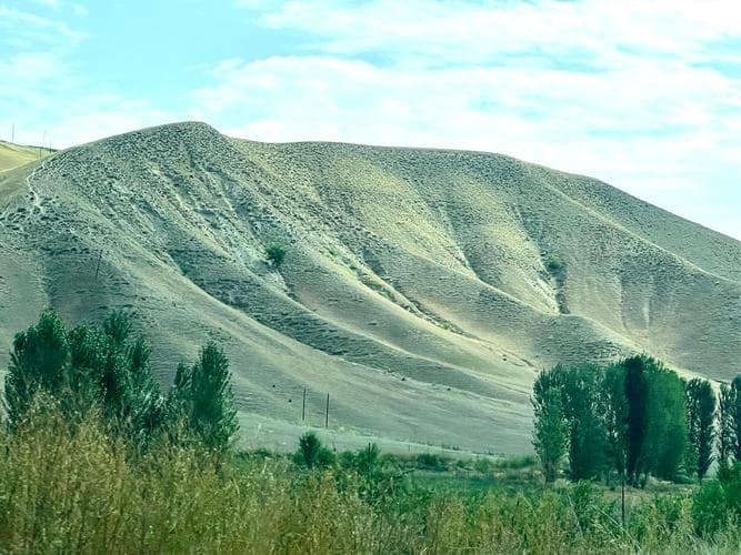
Xinjiang is locked deep inland, far from any ocean, so it wears a classic continental climate: enormous temperature swings between day and night, very low humidity, and pitiful rainfall. Two more facts shape everything. First, the region is split by the Tian Shan: the north (Kanas, Yili, Urumqi) is cooler and greener; the south (Kashgar, Hotan, Turpan) is desert and gets brutally hot. Second, altitude rules the Pamirs and Tianshan passes, where even July nights dip near freezing. Pack for two climates at once, because you will meet both in a single drive.
Month-by-month at a glance
These are typical ranges from my logs; mountains and basins differ by 10–15°C. “North” means Kanas/Yili/Urumqi; “South” means Kashgar/Turpan/Hotan.
| Month | North avg | South avg | Travel notes |
|---|---|---|---|
| Jan | -15 to -5°C | -8 to 2°C | Deep winter; passes closed, ski and ice festivals only |
| Feb | -12 to 0°C | -5 to 6°C | Still frozen; Spring Festival crowds on trains |
| Mar | -2 to 10°C | 4 to 16°C | Melt, mud, and dust storms begin in the south |
| Apr | 5 to 18°C | 10 to 24°C | Apricot blossoms in Turpan; variable, great value |
| May | 10 to 22°C | 14 to 28°C | Green north, comfortable, pre-peak |
| Jun | 14 to 26°C | 20 to 34°C | Peak season starts; grasslands at their best |
| Jul | 16 to 28°C | 24 to 38°C | Hot in the south; north is pleasant; domestic tourists peak |
| Aug | 15 to 27°C | 23 to 37°C | Grape harvest in Turpan; book everything early |
| Sep | 10 to 24°C | 16 to 30°C | The sweet spot; golden Kanas, clear roads |
| Oct | 4 to 18°C | 8 to 24°C | Best light, thin crowds, fast cooling after mid-month |
| Nov | -4 to 8°C | 0 to 14°C | Shoulder into winter; some mountain roads close |
| Dec | -12 to -2°C | -6 to 4°C | Quiet, cold, cheap; snow blocks high passes |
Spring (March–May): melt and dust
Spring is underrated and cheap. The Turpan apricot blossom around early April is genuinely special, and the Ili valleys green up by May. The catch is weather whiplash: a 25°C afternoon can flip to a sandstorm by evening, and mountain passes still see late snow. I treat spring as a south-and-foothills season and leave Kanas for later. Pack a windbreaker and a scarf for the dust; you will use both.
Summer (June–August): the travel peak
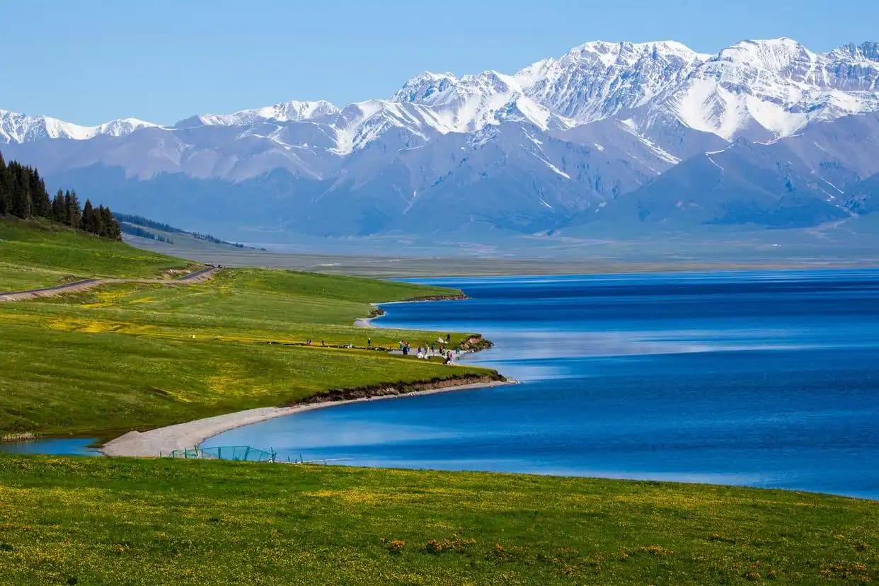
Summer is when the north earns its reputation — Nalati and Kalajun grasslands are emerald, Sayram Lake is ice-free, and the Duku Highway (open roughly June–September) finally connects north and south by road. The cost is crowding and heat: Turpan regularly hits 38–42°C, and domestic holiday weeks (July, August) pack every train. If you go in summer, start drives at dawn and book sleepers weeks ahead. Hydrate aggressively; the dry heat hides how much water you lose.
Autumn (September–October): the sweet spot
If I get one trip, it is late September. Kanas turns gold, the skies are clear, the mosquitoes are gone, and the National Day crush (early October) is still avoidable if you finish before it. October is the photographer’s month across the whole region — crisp light, empty roads, and the last warm days before the freeze. Book your Kashgar and Urumqi flights early in October; everyone else has the same idea.
Winter (November–February): empty and freezing
Winter is for a specific traveler: the one who wants snow festivals, ice on Sayram, and near-empty Old Towns at a third of the price. The price is closed high passes (Duku shuts, Pamir routes need checking) and bone-cold nights. I cover the driving reality in the winter driving guide — relevant even if you ride buses, because road closures ripple into schedules and cancel the occasional mountain bus.
Regional contrast: north vs south
The single most useful framing is north-versus-south. The north (anything Tian Shan and north of it) is wetter, greener, and cooler — its best window is June to September, with a glorious September. The south (Tarim basin: Kashgar, Hotan, Turpan) is hotter and drier, livable from March to May and again September to November, and best avoided at high summer noon. The Xinjiang in spring piece digs into the melt-season specifics if you are targeting March–April.
Sun, UV, and the dry air
Two non-temperature hazards deserve their own line. First, ultraviolet exposure is fierce at this latitude and altitude — I have burned in October on a clear Pamir afternoon. A brimmed hat and SPF 50 are not optional. Second, the air is so dry that you dehydrate without feeling sweaty; nosebleeds and cracked lips are common in the first few days. A refillable bottle and lip balm fixed both for me within a day.
Altitude and weather together
The Pamir and Tianshan passes add a weather dimension most forecasts ignore: at 3,000–4,500 m, a sunny 15°C afternoon can become a sub-zero night with wind that cuts through every layer. If your plan touches Tashkurgan, Karakul, or any high pass, the winter driving notes on cold and closures apply in milder form even in summer. Build a buffer day.
What to wear by region
| Region / season | Day layers | Essential extra |
|---|---|---|
| North, summer | Tee + light shirt | Rain-light shell for pass wind |
| North, autumn | Tee + fleece + jacket | Warm hat for evenings |
| South, summer | Breathable tee + sun sleeve | Wide-brim hat, SPF 50 |
| Pamir / passes, any month | Three-layer system | Down layer even in July |
Packing by the numbers
Whatever the month, pack layers you can shed: a base tee, a fleece, and a windproof shell cover 90% of situations. Day-to-night swings of 15°C are normal even in summer at altitude. My full packing list runs the region-by-region kit, but the non-negotiables are sunscreen, lip balm, and a refillable bottle — the dry air dehydrates you faster than you notice, and the sun will surprise you.
Road and flight impacts
Weather closes things. Spring melt floods low desert roads; summer downpours occasionally wash out county routes; autumn is the calmest; winter shuts the Duku and ices Pamir passes. Flights are the weather-proof backup — when a pass closes, the regional airports keep running. Build one buffer day into any no-car plan for exactly this reason, and reconfirm mountain bus departures the morning of travel in shoulder seasons.
Frequently Asked Questions
What is the absolute best month to visit Xinjiang?
Late September. You get Kanas’s golden larch, clear roads, comfortable temperatures across both north and south, and crowds thin out before the National Day holiday in early October. Mid-to-late October is the photographic runner-up, with colder nights.
How cold does it get at night in summer?
In the mountains and on the Pamir Plateau, nights in July can drop to near 0°C even when the daytime high is 20°C. At Sayram Lake or a yurt stay, bring a real sleeping layer regardless of the month, and a warm hat.
Is the Duku Highway open when I visit?
Typically June through September or early October, weather permitting. It closes for snow the rest of the year. Never plan a tight connection that depends on it being open — have the flight alternative ready.
Does it rain a lot?
No. Annual rainfall is low and most of it falls in spring and early summer in the north. The bigger weather hazards are heat (south), wind, and sandstorms, not rain. A packable windbreaker beats a rain jacket most years.
Can I visit Xinjiang in winter?
Yes, and it is cheap and quiet, but expect closed high passes and very cold nights. Stick to the main city corridors (Urumqi, Turpan, Kashgar) and confirm mountain routes before any bus booking.
How strong is the sun, really?
Stronger than most visitors expect. At altitude and latitude, a clear day burns skin in under an hour in any season. Hat, sunglasses, and SPF 50 turned my trips from painful to pleasant.