Glaciers of Xinjiang: Muztagh Ata, Tianger and Where to See the Ice Mountains
Xinjiang holds some of the most accessible big ice in the world. While most visitors come for deserts and oasis towns, the Pamir and Tianshan ranges cradle glaciers you can reach without mountaineering gear — some within a short walk of a car park. The first time I stood below Muztagh Ata and watched its hanging glaciers glow blue at sunset, I understood why locals call it the “Father of Ice Mountains.” This guide covers where to see Xinjiang’s glaciers, how to get there, and what to know before you go.
Why Xinjiang Is a Glacier Destination
The region sits at the crossroads of three major ranges — the Tianshan, Pamir, and Kunlun — and carries a huge share of China’s mountain glacier volume. Unlike Himalayan ice that needs weeks of trekking, several Xinjiang glaciers sit at the end of a paved road or a short 4×4 track. That makes them rare: genuinely dramatic ice without a climbing expedition.
The “Father of Ice Mountains”
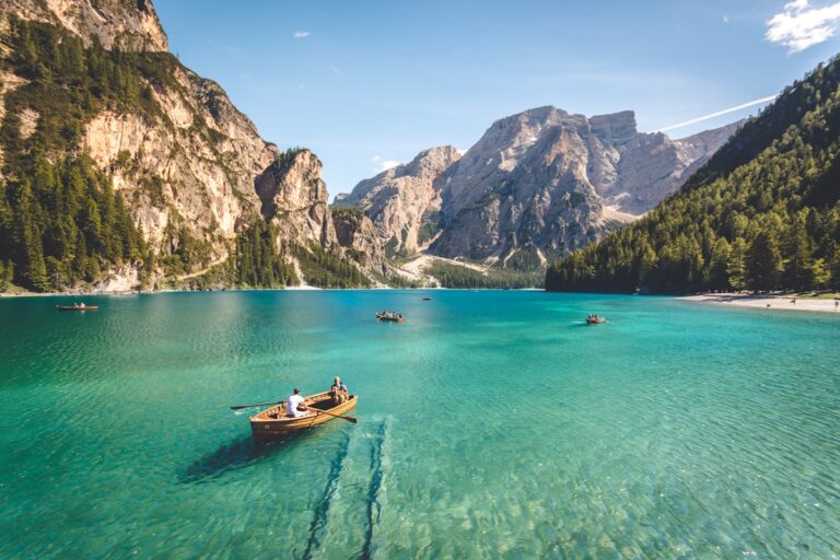
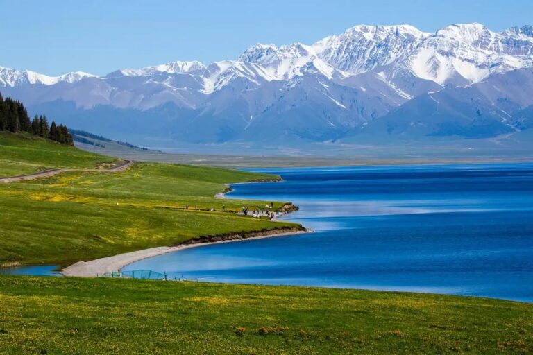
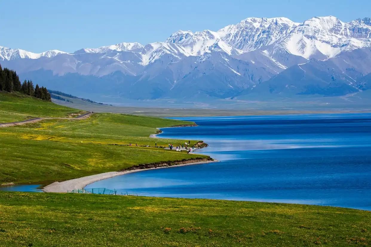
Muztagh Ata (7546 m) looms over the Karakul Lake on the Pamir Plateau. Its name in local Tajik means “Ice Mountain Father,” and the glaciers spilling from its flanks are the headline attraction of the area. The combination of a turquoise lake, a snow dome, and blue ice is one of the most photographed scenes in western China.
Muztagh Ata and the Karakul Glacier
The glaciers around Muztagh Ata are visible from the shore of Karakul Lake and from the road between Tashkurgan and Kashgar. You do not need to climb to appreciate them — at about 3,600 m the hanging glaciers and seracs are plainly visible across the water. A few operators offer camel or yak rides toward the moraine for a closer look, but the easy lakeside viewpoint is the classic shot.
Tianger (Tiāngé’ěr) Glacier No. 1
If you want to actually stand near the ice, Tianger Glacier, often called “Glacier No. 1,” is the famous option near Urumqi in the Tianshan. A scenic road climbs to a visitor area where a boardwalk and stairs lead close to the glacier tongue. It is commercialised and busy in summer, but it is the most visitor-friendly glacier experience in the region and the easiest to reach by car from a major city.
Glacier Comparison
| Glacier | Range | Access | Effort |
|---|---|---|---|
| Muztagh Ata (Karakul) | Pamir | Paved road to lake | Easy viewpoint |
| Tianger No. 1 | Tianshan (Urumqi) | Scenic road + boardwalk | Easy walk |
| Tomur area | Tianshan (south) | 4×4 + trek | Moderate |
| Qiaogeli (K2 region) | Karakoram | Remote expedition | Hard |
Getting to Tianger Glacier Park
Tianger is roughly 120 km from Urumqi, reached via the Daban Cheng corridor. Buses and tour cars run in summer; the final stretch is a dedicated glacier road with a visitor centre. Go early — afternoon clouds often hide the ice, and queues build by midday. Dress warm even in July; the parking lot sits well above 3,000 m.
Other Notable Ice Fields
Beyond the headline names, Xinjiang has dozens of lesser glaciers. The Tomur massif in the south Tianshan holds the largest ice cap in the range, reachable only with effort and permits. The Karakoram side near the Pakistan border (Qiaogeli / K2 approaches) is expedition territory, not a day trip.
Tomur and the South Tianshan Ice
Tomur (7443 m), the highest peak of the Tianshan, anchors a vast glaciated zone. Visiting means a long drive toward Aksu or Zhaosu followed by trekking with guides. It rewards serious hikers with crevasse fields and moraines few tourists ever see.
Qiaogeli and the Karakoram Edge
On the far southwest, the Karakoram feeds the upper reaches toward Khunjerab. This is borderland requiring permits and is best left to organised expeditions. The ice here is spectacular but not a casual stop.
Reading the Ice: What You Actually See
A glacier is more than a white mountain. Watch for the blue banding in deep ice (compressed ancient snow), the brown debris carried on the surface as medial moraines, and the meltwater streams cutting bright channels down the tongue. At Tianger a short climb reveals crevasses striped like layered cake. Guides on the Pamir will point out where the ice has retreated decade by decade — a quiet, visible lesson in how fast these systems are changing. Even without a science background, the scale is humbling: some of these glaciers are hundreds of metres thick and several kilometres long, and they feed the rivers that green the oases far below.
Glaciers, Climate, and the Oases
It is worth remembering that these ice fields are not just scenery. They are the frozen reservoirs of Xinjiang, releasing melt through the dry summer when farms and cities need water most. Standing at the snout of Tianger, you are looking at the source of the same water that irrigates Turpan’s vineyards and Urumqi’s parks. That connection is part of why protecting access and treading lightly matters — the ice is infrastructure as much as wonder, and the boardwalks exist precisely so visitors can appreciate it without accelerating its loss.
Best Season and Conditions
Timing matters more than you might think. The table below is a rough guide.
| Window | Conditions | Notes |
|---|---|---|
| Jun-Aug | Warmest, clearest ice views | Peak crowds; book early |
| Sep-Oct | Cold, crisp, fewer people | Best light, icy roads |
| Nov-May | Closed or hazardous | Tianger often limited |
Altitude and Acclimatization
Glacier sites sit high — Karakul at 3,600 m, Tianger’s lot above 3,000 m. Spend a night lower first if you are coming from the plains. The Tashkurgan guide covers Pamir acclimatisation well, since the same plateau holds both the town and the ice.
What to Pack for a Glacier Visit
Even in summer, glacier weather turns fast. Bring a windproof shell, warm layer, sunglasses (glare off ice is intense), sunscreen, and sturdy shoes with grip — moraine is loose rock. A refillable bottle is handy; meltwater streams are common but treat or boil them. On the Pamir, pair this with the standard high-plateau kit.
Photography and Responsible Viewing
For photos, shoot in the first two hours after sunrise or the last before sunset, when the ice picks up colour. Use a polariser to cut glare. Stay on marked paths and boardwalks — glacier margins are unstable and warming ice means more rockfall. Do not walk onto the glacier tongue without a guide; crevasses are hidden and lethal. The Karakul Lake guide has the classic viewpoint details and where to stay nearby.
What other travelers wrote in to ask
Can I see a glacier without trekking?
Yes. Both Karakul Lake (viewpoint) and Tianger Glacier No. 1 (boardwalk) are reachable by road with minimal walking. They are the best easy options.
When is the best time to visit?
June to August gives the clearest ice and open access. September and October have better light and fewer crowds but colder, sometimes icy roads.
Do I need a permit?
The easy sites (Karakul, Tianger) do not need special glacier permits, but the Pamir border region around them requires the standard Xinjiang border permit. Remote Tianshan or Karakoram ice needs guides and permits.
Is it dangerous to get close?
The marked viewpoints and boardwalks are safe. Walking onto the ice or moraine alone is not — crevasses and rockfall are real hazards. Hire a guide for anything beyond the paths.
How cold does it get?
Even in July, expect near-freezing wind at the ice, and below zero at night at high camps. Pack as if for winter regardless of the valley temperature.
Can I visit in winter?
Tianger and Pamir sites are often limited or closed from late autumn to spring due to snow and road ice. Summer and early autumn are the reliable windows.