Kashgar to Tashkurgan: Pamir Highway Day Trip and Overnight Plan
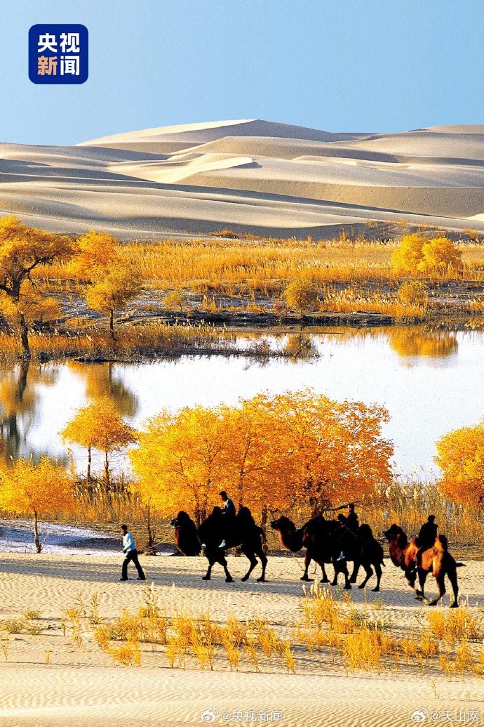
The road from Kashgar to Tashkurgan is one of the great drives in Asia: the Karakoram Highway climbs onto the Pamir Plateau, past frozen lakes and the roof of the world. I have done it as a rushed day trip and as a relaxed two-day run; the difference is enormous, and the rushed version made me miss the best part. Here is how to plan it.
The Border Permit First
Tashkurgan sits in a border management zone. You must obtain a permit (usually via the Kashgar public-security office or your hotel) with your passport/ID before the checkpoint at Opal. Without it, you turn back. The permit is free but takes a morning; sort it the day before you drive, because the office closes for lunch and you do not want to burn a day waiting.
The Route and Stops
| Stop | km | Why stop |
|---|---|---|
| Opal checkpoint | 60 | Permit inspection |
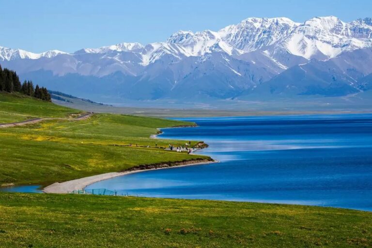
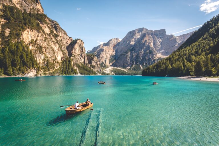
| Karakul Lake | 190 | Muztagh Ata viewpoint, yurts |
| White Sand Lake | 220 | Turquoise lake + dunes |
| Tashkurgan | 290 | Stone City, Tajik town |
Day Trip vs Overnight
A pure day trip means 8+ hours driving and only photo stops; you will see Karakul but miss its dawn. An overnight in Tashkurgan (or a yurt at Karakul) lets you shoot both golden hours and actually feel the plateau. The Southern Xinjiang loop extends this into a multi-day Pamir circuit if your schedule allows a longer commitment.

Where to sleep on the road and where to park
Ask for a room away from the yard, since the yard is where the trucks sleep. In Kashgar the hotels cluster along the through road and the value one is usually the second block back, five minutes from the misnamed central place and half the price. The county town on this route is where to overnight, not the scenic stop, because the scenic stops have no quiet parking and no kitchen open after eight.
Fuel, and the gaps where there is nothing
I have been on a road in this region where the next fuel was two hours back, the reason being a closure, and the only thing that got me moving was a trucker with a spare can. Every town on this route has a station and every station takes cards, which is the good news. Fill before you leave anything with a city name on the map, even if the next is only ninety minutes out. The bad news is the distance between them through the middle sections, enough that a full tank is arithmetic rather than paranoia. I wrote the driving side up in our [[pamir-highway-xinjiang-guide-kashgar-to-tashkurgan-on-the-karakoram-highway|Pamir Highway Xinjiang Guide: Kashgar to…]] as well.
The checkpoints, honestly
Nobody has ever been rude to me at one of these. They are tedious rather than dangerous, and the driver’s document pack is the only thing that makes them quick. You will stop at checkpoints. Keep passport and car documents in the glovebox rather than the boot so you are not unpacking in front of a queue. They are short, they are not hostile, and the whole process for a foreign plate takes longer than for a local one because the officer has to make an entry. Write down the address of tonight’s accommodation, because that is the question they ask.
What a local driver would refuse to do
What they will refuse is a night drive over the high sections in winter, and they are right. What they will happily do is leave at five in the morning to catch the light, and that is the version worth asking for. My host in Kashgar said the pass was two hours, meaning two hours driving without the stops, and that is the number to plan around, not the one the map shows. A driver who knows this road gives you the honest distance. I wrote the driving side up in our [[south-xinjiang-cultural-tour-kashgar-tashkurgan-pamir|South Xinjiang Cultural Tour: Kashgar,…]] as well.
Altitude Reality
You climb from 1,300 m to over 3,600 m. Take it slow at the top, hydrate, and consider an acclimatisation night in Kashgar first. Tashkurgan town is around 3,100 m; most sleep fine, but exerting on the Stone City ruins leaves you breathless, and a short climb feels like a stair machine.
What to carry
Passport + permit, warm layer (plateau nights are cold even in August), sunscreen (UV is brutal at altitude), and cash for yurt stays and toilets (¥2–5). Mobile coverage is patchy past Karakul, so download maps beforehand.
What you need to arrange first
- It without a guide — Yes, with your own permit and a car.
- Road safe — The G314 is paved and well-maintained, but it is high, winding, and weather-prone.
- Needing a visa for pakistan — No, you are not crossing; the permit only authorises the Tashkurgan zone.
- Sleeping — Tashkurgan has basic hotels; Karakul has yurts.
- Timing — About 4–5 hours one way with photo stops, longer if you linger at Karakul or White Sand Lake.
Work through that list a few days before departure, not on the morning you fly. Most of the grief I have seen on this route comes from leaving it until the last minute.