Karakoram Highway: Driving the World’s Highest Paved Road to the Pakistan Border
The Karakoram Highway (KKH) is one of the most extreme paved roads on the planet. It runs from Kashgar southwest to the Khunjerab Pass on the Pakistan border, crossing the Pamir Plateau at heights that leave many travelers breathless in both senses. For self-drivers, it is the bucket-list route of Xinjiang — a multi-day passage through Tajik villages, glacial lakes, and some of the starkest mountain scenery on earth.
Note the terminology: the Chinese side is often called the ‘China–Pakistan Friendship Highway’ or, locally, part of the route toward Tashkurgan (the 中巴友谊公路). The Pakistani side is the famous KKH. Either way, the drive from Kashgar to the border is the same road, and it is unforgettable.
The Route
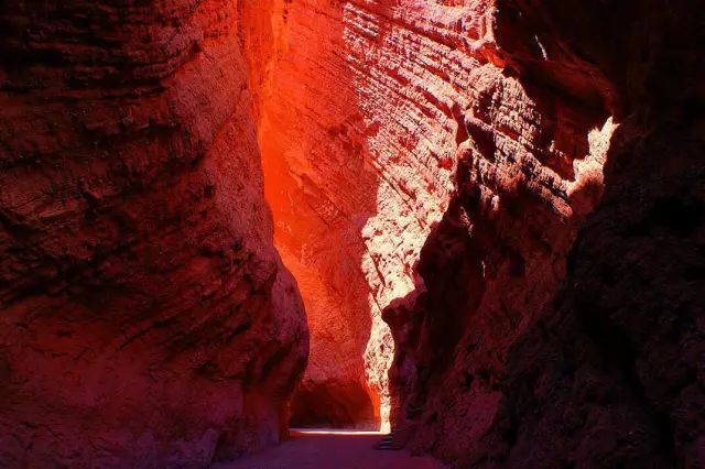
From Kashgar, the road climbs south through the Ghez River canyon, past the 盖孜 (Gez) checkpoint (your first permit control), and onto the Pamir Plateau. Key stops:
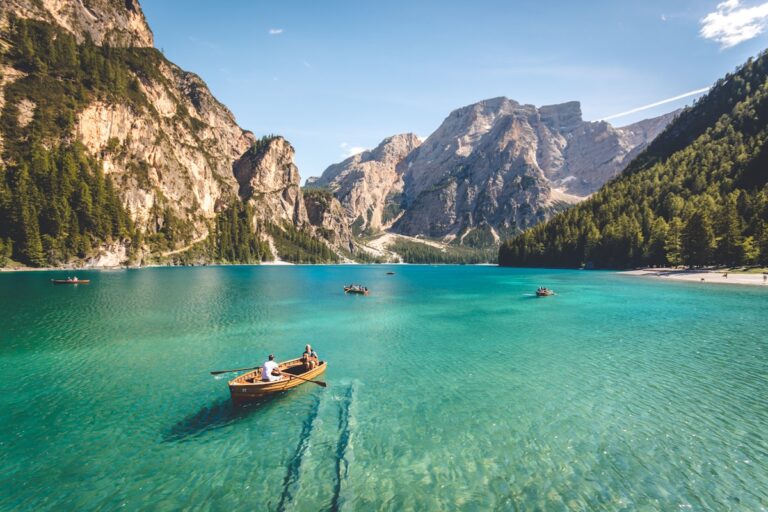
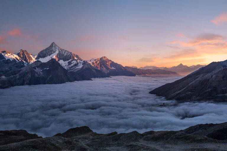
Karakul Lake & Muztagh Ata. A glacial lake at ~3,600 m backed by the ‘Father of Ice Mountains’ (7,546 m). The classic Pamir photo.
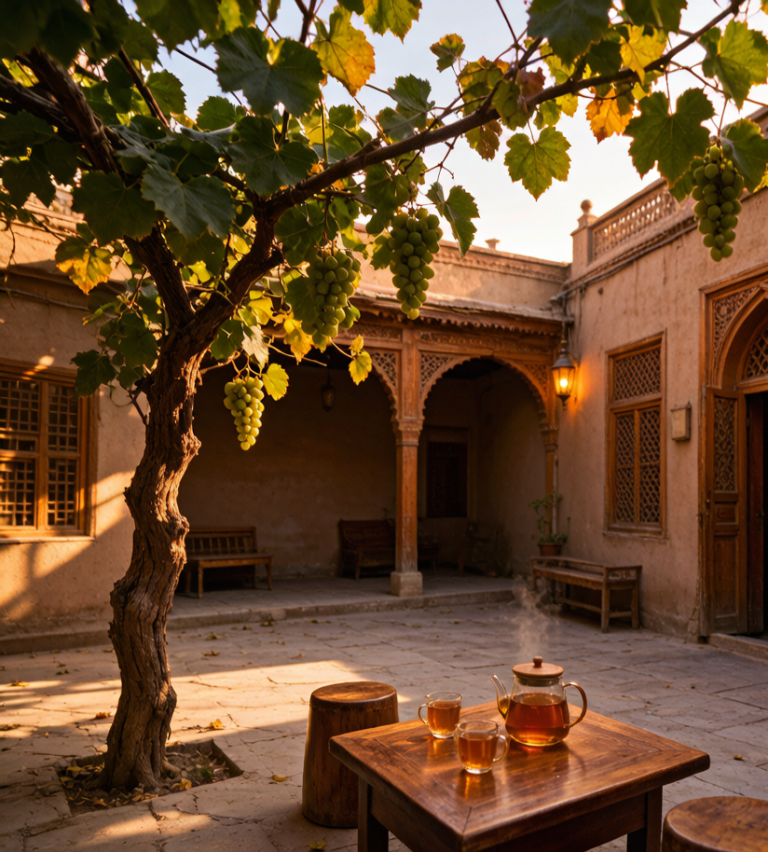
Tashkurgan (Taxkorgan). The Tajik county town at ~3,100 m, base for the Stone City ruins and the Khunjerab gateway. Overnight here.
Khunjerab Pass. At ~4,700 m, the highest paved border crossing in the world. Open seasonally; the border itself is usually only passable to those with Pakistan visas, but the drive to the gateway is the highlight.
Permits
This is the part travelers underestimate. Foreign visitors need a border permit (边境管理区通行证) for Tashkurgan, obtained in Kashgar with passport and visa — allow a day. The Gez checkpoint will turn you back without it. If you are not a Chinese citizen, confirm current rules before travel; they change. A licensed driver can often handle the paperwork, which is one reason many choose a hired car over self-drive here.
The checkpoints, honestly
They are tedious rather than dangerous, and the driver’s document pack is the only thing that makes them quick. They are short, they are not hostile, and the whole process for a foreign plate takes longer than for a local one because the officer has to make an entry. You will stop at checkpoints. Keep passport and car documents in the glovebox rather than the boot so you are not unpacking in front of a queue. Write down the address of tonight’s accommodation, because that is the question they ask. Nobody has ever been rude to me at one of these. For the part people underestimate, see our [[the-duku-highway-driving-chinas-most-spectacular-road|The Duku Highway: Driving China’s Most…]].
What a local driver would refuse to do
A driver who knows this road gives you the honest distance. What they will happily do is leave at five in the morning to catch the light, and that is the version worth asking for. My host in Xinjiang said the pass was two hours, meaning two hours driving without the stops, and that is the number to plan around, not the one the map shows. What they will refuse is a night drive over the high sections in winter, and they are right.
Season and Road Conditions
The road is generally open May–October; winter snow closes the high passes and the border. Even in season, altitude is the real factor — Khunjerab sits at 4,700 m, and altitude sickness is common. Ascend gradually, sleep low (Tashkurgan, not the pass), hydrate, and carry medication if prone.
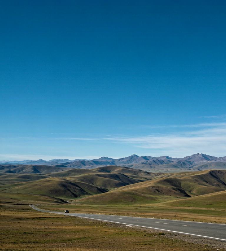
Surface is paved but narrow in stretches, with occasional washouts after rain. Fuel is available in Kashgar and Tashkurgan but not between — top off at both. Cell signal is weak to nonexistent past the lake; download offline maps.
Self-Drive Logistics
Vehicle: a normal sedan handles the paved road in good weather, but a higher-clearance car helps on side tracks to viewpoints. Don’t attempt it without a permit and a full tank. Drive in daylight only — livestock, unlit vehicles, and rockfall make night driving hazardous.
Time budget: Kashgar to Tashkurgan is ~300 km but takes 5–7 hours with stops and the altitude. Plan two nights minimum (one each side of the plateau) to acclimatize and shoot Karakul at sunrise and sunset.
The Karakoram is not a casual day trip. It is a high, remote, permit-bound expedition that rewards preparation with some of the most dramatic driving in Asia. Pair it with Kashgar and Yarkand for a southern Silk Road loop, and treat the altitude with respect. For the full self-drive framework, the driving sections of our Xinjiang Travel Guide cover vehicle choice, fuel, and border logistics in depth.