Tekes Bagua City and Kuerdening: Walking a City Shaped Like an Eight-Trigram Maze
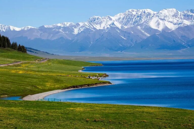
Most travelers reach Xinjiang for the lakes and the deserts, but in the Ili Valley there is a town you can read from the air and never on the ground: Tekes, laid out as a perfect bagua (eight-trigram) maze with no traffic lights and concentric rings radiating from a central park. Just south of it sits Kuerdening, one of the greenest, least-crowded stretches of the Tianshan and a former state hunting ground.
Overview & Key Facts
Tekes County sits in the Ili Kazakh Autonomous Prefecture of northern Xinjiang, about 80 km southwest of Yining. The urban core follows a bagua plan attributed to a 1930s layout inspired by the Book of Changes: eight radial avenues correspond to the eight trigrams, intersected by four ring roads. You can drive any direction and circle back, which is why the town famously ran for decades without a single traffic signal.
| Feature | Tekes Town | Kuerdening Scenic Area |
|---|---|---|
| Main draw | Bagua city plan, market life | Alpine forest, meadows, wildlife |
| Elevation | ~1,000 m | 1,400–2,500 m |
| Best for | Photography, walking, culture | Hiking, picnics, birding |
| Crowds | Low–moderate | Very low |
Getting There
Fly or train to Yining (Ili), then take a bus or taxi southwest to Tekes (roughly 1.5–2 hours). From Tekes town center, Kuerdening is another 1–1.5 hours by car along a paved but winding mountain road. A train to Yining is the comfortable low-altitude option if you are coming from Urumqi.
Tickets & Costs
As of 2025, entering Tekes town itself is free. Kuerdening charges an entrance fee of roughly 60–80 RMB per person plus a scenic-area shuttle if you go deep. A private car from Yining runs about 400–600 RMB round trip; shared county buses are far cheaper but slower.
Best Time to Visit
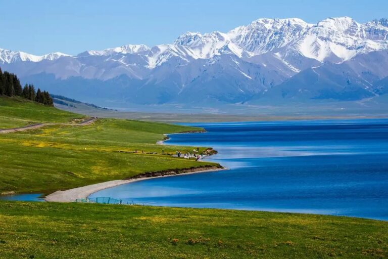
Late May to early June brings green meadows and wildflowers in Kuerdening; September offers golden larches and clear skies. Winter is quiet and very cold. If you want the Ili Valley at its most photogenic, pair this stop with nearby Ili Valley grassland routes.

A Simple 2-Day Plan
| Time | Plan |
|---|---|
| Day 1 AM | Arrive Tekes, climb the central bagua observation tower |
| Day 1 PM | Walk the radial avenues, evening bazaar |
| Day 2 AM | Drive to Kuerdening, hike the forest loop |
| Day 2 PM | Picnic meadow, return to Yining |
Where to Stay
Tekes has budget guesthouses and a few mid-range hotels; book ahead in June and early October. For Kuerdening, most visitors do a day trip from Tekes or Yining rather than camping, though basic homestays exist near the gate.
Food
Eat at the evening bazaar: grilled lamb, naan and samsa, hand-pulled noodles, and fresh Ili dairy. The town is also a good place to try salty milk tea the local way.

Practical Tips
- Bring a map app — the ring roads confuse first-timers even with signal.
- Kuerdening gets cool fast; pack a wind layer even in summer.
- Fill fuel in Tekes before heading into the scenic area.
- Combine with a Duku Highway leg only if you have several free days.
FAQ
Is Tekes really shaped like a bagua? Yes — eight radial roads from a central point, enclosed by ring roads. The layout is real and visible from the observation tower.
Do I need a 4×4 for Kuerdening? No; the main road is paved. A normal car is fine in dry season.
How long do I need? One night in Tekes plus a half-day in Kuerdening is enough for a relaxed visit.
Are there traffic lights? The town long operated without them thanks to the circular design, though a few have appeared at busy junctions.