Pamir Tajik Culture: Meeting the Eagle People of Xinjiang’s Roof
Who the Pamir Tajiks are, where they live, their eagle dances, festivals and guest etiquette — a respectful traveler’s guide to Xinjiang’s Roof of the World.


Who the Pamir Tajiks are, where they live, their eagle dances, festivals and guest etiquette — a respectful traveler’s guide to Xinjiang’s Roof of the World.

Altitude sickness hits Xinjiang’s Pamir and Tian Shan hard. Learn the risky regions, a practical acclimatization plan, medication, and when to descend.
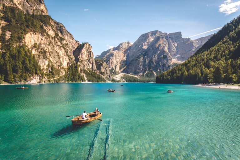
The Karakoram Highway runs from Kashgar to the Pakistan border over 4,700-meter passes — one of the great drives on earth. Here’s the route, the permits, the season, and what to know before you go.
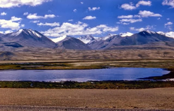
Karakul Lake sits at 3,600 meters on the Pamir Plateau, reflecting Muztagh Ata — the ‘Father of Ice Mountains.’ Here’s how to visit, where to stay, and why this is the most photogenic stop on the Karakoram Highway.
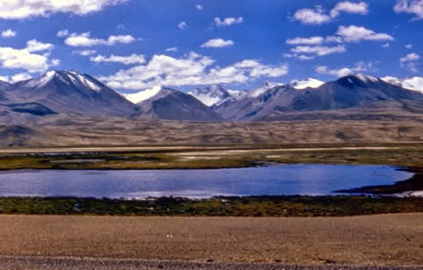
Do you need a Xinjiang border permit (边防证)? Our guide explains who needs it, which areas require it, and how to apply at PSB offices in Kashgar or Urumqi.
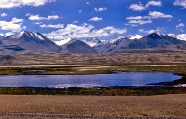
Tashkurgan is the high Tajik town at the Pamir’s heart — Stone City ruins, the Khunjerab gateway, and a culture unlike anywhere else in Xinjiang. Here’s what to see and how to use it as a base.

Tashkurgan sits at 3,100m and the Khunjerab Pass reaches 4,693m. Here’s how to prepare for altitude sickness, what symptoms to watch for, and where to find help on the Pamir Plateau.
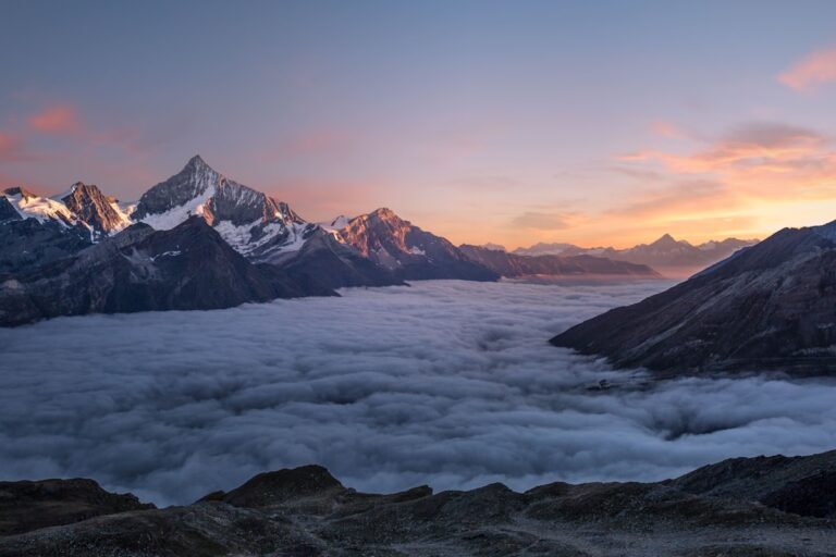
Panlong Ancient Road (盘龙古道) in the Pamir Plateau is a winding mountain road with over 600 curves. Learn how to get there, when to visit, and why it’s worth the detour from Tashkurgan.
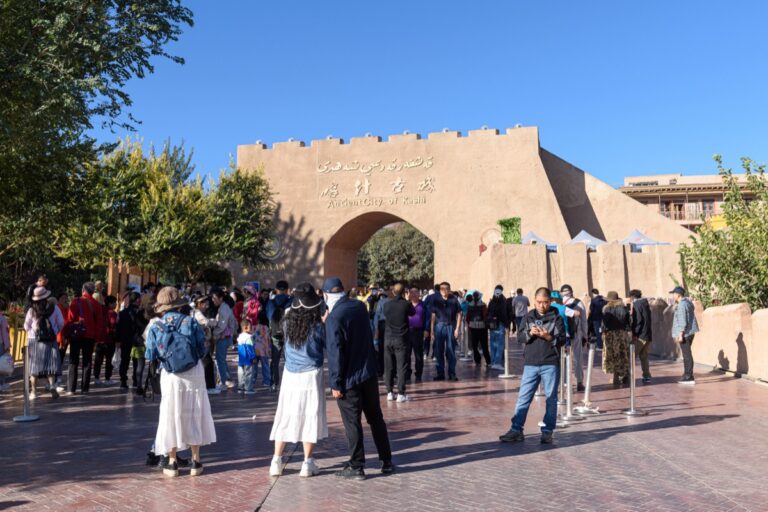
At 3,090 meters on the wind-scoured edge of the Pamir Plateau, Tashkurgan — the name means “Stone Tower” or “Stone Fortress” in Persian/Uyghur — is the las…