Driving the Duku Highway: Season, Stops and Survival Tips
The Duku Highway (独库公路) is the single most talked-about drive
A bit of history makes the drive land harder: the road was carved by thousands of soldiers over nearly a decade and cost many lives, which is why it is both a engineering marvel and a memorial route — markers along the way honor those who built it. Knowing that reframes the switchbacks from inconvenience to achievement. It also explains the strict seasonal closure: the passes are simply not safe to maintain through winter. When you stop at a viewpoint and see the sheer cut into the mountain, you’re looking at human effort measured in years, not months. That context is why locals speak of the Duku with a kind of reverence travellers initially mistake for marketing.
in Xinjiang — a 561 km ribbon that climbs from the red canyons near Dushanzi over the Tianshan crest and down to Kuqa in the south, compressing desert, alpine meadow, and snow in one day. I drove it in late June and it rewired my sense of the region. But it is seasonal, narrow, and unforgiving if unprepared. This is the drive people plan entire trips around, and for good reason — few roads on earth pack this much landscape into a single day.
When It Opens
The road is closed by snow roughly November to May, sometimes opening only in early June. The reliable window is June–September, with July–August busiest. Even in summer, the summit passes can see sleet — pack as if for two seasons (see our packing list). Check the year’s exact opening date before you build a plan around it; a late snow can delay the opening by weeks, and tour operators will know before the websites do.
| Section | Highlight |
|---|---|
| Dushanzi → Hashiligen pass | Red rock, high switchbacks |
| Daheyan → Bayinbuluke | Alpine meadows, swans |
| Bayinbuluke → Kuqa | Canyon descent, red cliffs |
| Summit passes | Snow walls into July |
Must-Stop Viewpoints
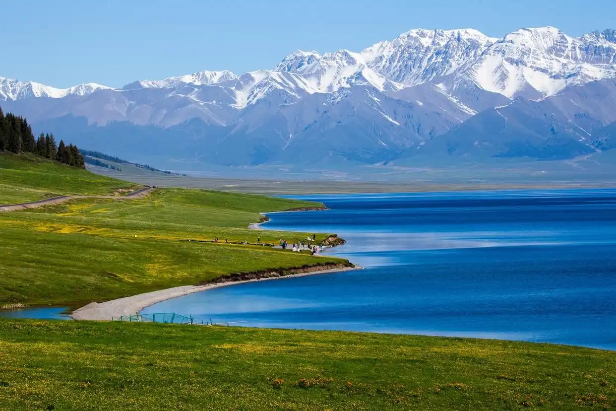
Hashiligen Pass (around 3,400 m) for snow walls in early summer; Bayinbuluke grassland for the famous nine-bend river and swans; and the Red Canyon near the southern end for that Mars-like light. Fuel up whenever you can — stations are sparse and often cash-only in remote stretches, and running dry here means a long, cold wait for a passing truck.
Self-Drive vs Tour
Foreign visitors often join a driver or tour rather than renting, which sidesteps license and permit questions. If you self-drive, note that some scenic pull-offs require a park ticket. Our transport guide covers the license realities, and a local driver also doubles as a guide who knows which bend has the view and which has the pothole.
Survival Prep
- Start early — the full crossing is 10–12 hours with stops; don’t attempt it dark.
- Carry water, food, and a warm layer even in July, because weather turns fast at the crest.
- Keep cash and a charged phone; signal dips on the crest and you may need a paper map.
- Watch for rockfall and slow local traffic on blind curves; the road is one lane each way in places.
What you need to arrange first
- Foreigners self-drive the duku — Renting can be complicated; most join a licensed driver or tour.
- Day enough — Yes for the drive, but you’ll be tired.
- If it’s closed when i arrive — Have a fallback: the longer desert highway (G3012) links the same endpoints but is far less dramatic.
- Altitude concern — Moderate — the passes touch 3,400 m.
- Best direction — North-to-south (Dushanzi → Kuqa) is most common and puts the big climbs early when you’re fresh.
- There places to eat on the road — Sparse.
Work through that list a few days before departure, not on the morning you fly. Most of the grief I have seen on this route comes from leaving it until the last minute.
What to Stop For (and What to Skip)
The obvious stops — Hashiligen Pass, Bayinbuluke, the Red Canyon — are obvious for a reason, but the in-between pulls-offs are where the road shows its range: a sudden switch from red desert to alpine meadow, a roadside herd of goats, a viewpoint where the Tianshan wall fills the windshield. Don’t skip the small stops to “save time”; the Duku is the destination, not the transit. The one thing to skip is rushing — every year travellers try to do it in a single pressured day and remember only the fatigue. Build in a night at Bayinbuluke if you can; its nine-bend river at sunset is a different world from the pass you crossed at noon.
Weather and Road Conditions
Even in high summer, the summit passes can see sleet or a sudden whiteout, and rockfall after rain closes lanes without warning. Check the forecast the morning you leave and ask your driver or hotel about road status — closures are announced locally and rarely make international news. Carry chains in the shoulder seasons (May–June, September–October), though most rental and tour vehicles won’t need them in July–August. The road is one lane each way in stretches, so courtesy matters: pull fully off to let faster local traffic pass, and never stop in a blind curve. Patience on the Duku is both safer and more rewarding.
Permits and Paperwork
The Duku itself needs no special foreign permit, but the broader southern Xinjiang loop sometimes touches border-proximate areas where a permit is required — arrange that in Kashgar or Urumqi if your route goes further south. Keep your passport on you; occasional checks exist, and having it ready avoids delays. Most travellers do the Duku as a north–south crossing without fuss; the paperwork talk is mostly relevant if you extend south toward the Pamir, which is a separate planning exercise covered in our altitude and border guides.
Driving It Yourself vs a Driver
If you’re eligible and comfortable, self-driving the Duku is the freest way to experience it — stop where you like, linger at a pass, skip the busy viewpoints. But foreign renters face license and occasionally permit friction, and the narrow, cliff-edge sections are unforgiving of hesitation. A local driver solves both and adds a guide who knows which bend has the view and which has the pothole. I’ve done it both ways; the driver let me actually watch the landscape instead of the road, which on a route this dramatic is the right trade. If you self-drive, be honest about your mountain-road confidence before you commit to 560 km of it.
The Drive as the Destination
Reframe the Duku as the trip, not the transit. Too many travellers treat it as a way to get from north to south and rush it; the ones who slow down call it the best day of their Xinjiang journey. Build in the Bayinbuluke night, take the side pull-offs, eat the noodle stops. The road compresses a continent of landscape into a single day on purpose — the engineers routed it through every ecosystem they could reach. Meet that ambition with your own: go slow, go early, go fed and fueled, and the Duku repays the effort with a hundred views you’ll describe badly to friends for years.