The Photography Road Trip: A Drive Built Around the Light
The North Light Loop
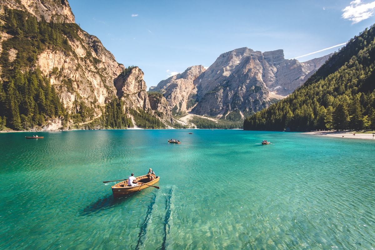
Night 1 Hemu (sleep in the village for the sunrise smoke). Drive to Sayram for the evening mirror (overnight lakeside). Next the Guozigou bridge at morning light, then Yining. Then Nalati at golden hour, Kuerdening at dusk. Each move is timed so you arrive at the right hour — the drive serves the shot, not the reverse.
The Pamir Light Leg
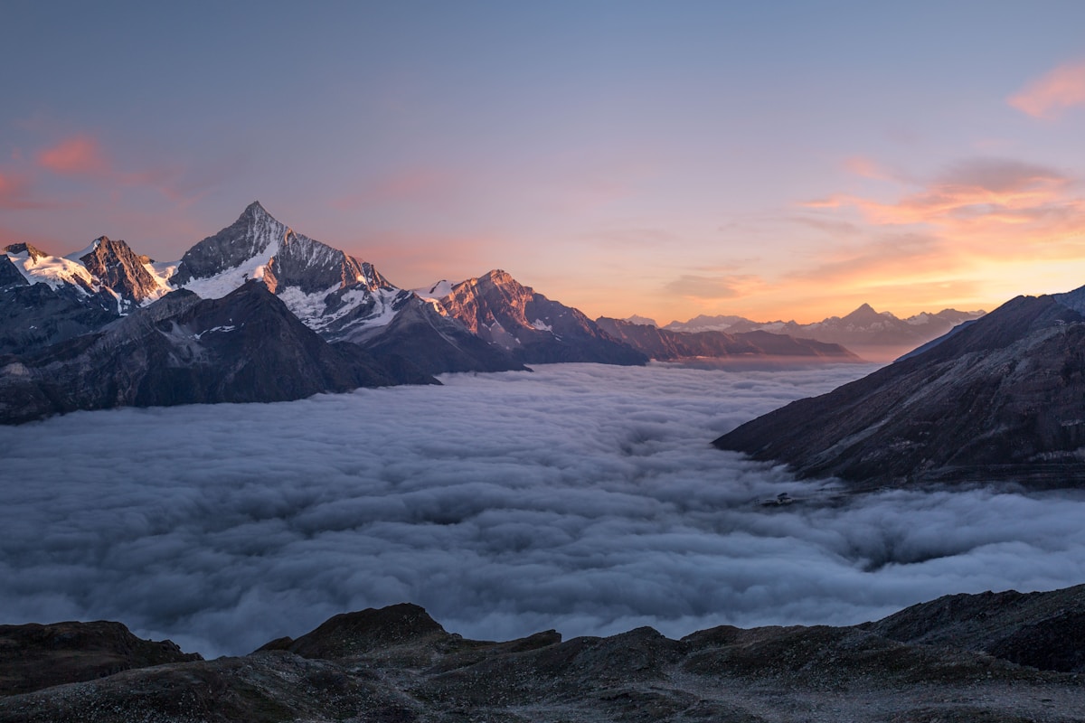
Fly or drive to Kashgar, then sleep at Karakul Lake for the Muztagh Ata dawn reflection — the single best mountain shot in the region. Continue to Tashkurgan for the Stone City at sunset (the golden grassland), and the Panlong Road in mid-morning light when the switchbacks read clearly. The Pamir’s big skies reward patience more than any lens.
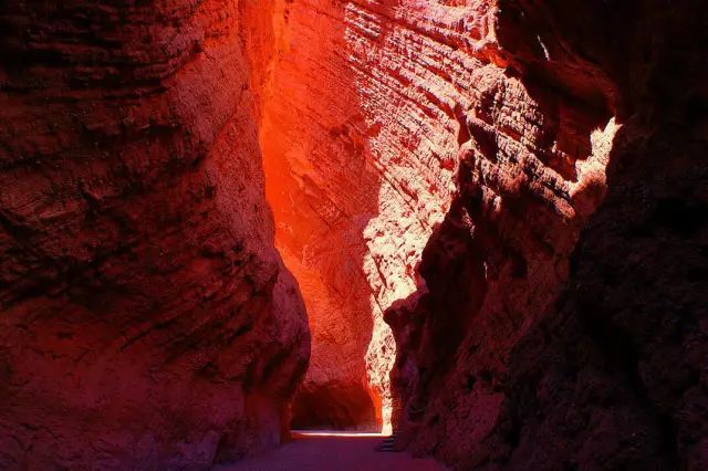
Timing Rules
Shoot the icons at the edges of the day; use midday for transit and rest. Book lakeside and village stays a day ahead so you’re positioned for dawn. Carry spare batteries (cold drains them) and a tripod for the low light. Download cards nightly — you’ll shoot more than you think. And leave buffer time; the best frame is often the unscheduled pull-over when the light does something unexpected.
Why Drive It
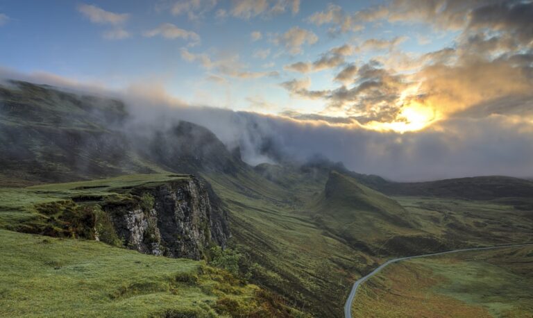
A tour can’t chase the light for you — only a self-drive lets you sleep at the lake and wake for the reflection. Build the route around sunrise and sunset, keep the gear ready, and Xinjiang hands you its best frames on a plate. The road is the studio; the light is the subject.
The checkpoints, honestly
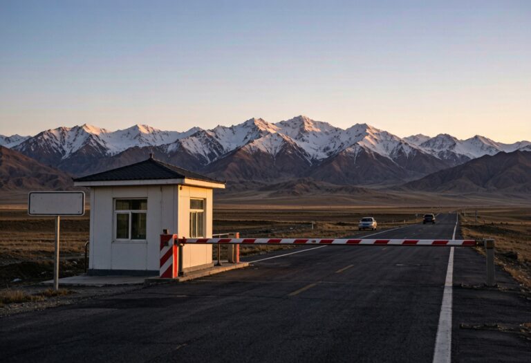
They are tedious rather than dangerous, and the driver’s document pack is the only thing that makes them quick. They are short, they are not hostile, and the whole process for a foreign plate takes longer than for a local one because the officer has to make an entry. You will stop at checkpoints. Keep passport and car documents in the glovebox rather than the boot so you are not unpacking in front of a queue. Write down the address of tonight’s accommodation, because that is the question they ask. Nobody has ever been rude to me at one of these. For the part people underestimate, see our [[self-drive-tourism-xinjiang-ultimate-road-trip-guide|Self-Drive in Xinjiang: What You Need to…]].
What a local driver would refuse to do
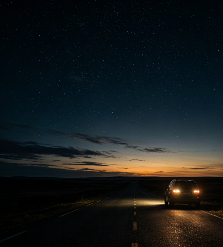
What they will happily do is leave at five in the morning to catch the light, and that is the version worth asking for. What they will refuse is a night drive over the high sections in winter, and they are right. A driver who knows this road gives you the honest distance. My host in Xinjiang said the pass was two hours, meaning two hours driving without the stops, and that is the number to plan around, not the one the map shows. If the timing is the question, our [[the-tarim-ring-road-a-self-drive-loop-around-the-taklamakan-desert|The Tarim Ring Road: A Self-Drive Loop…]] goes through it properly.
Where to sleep on the road and where to park
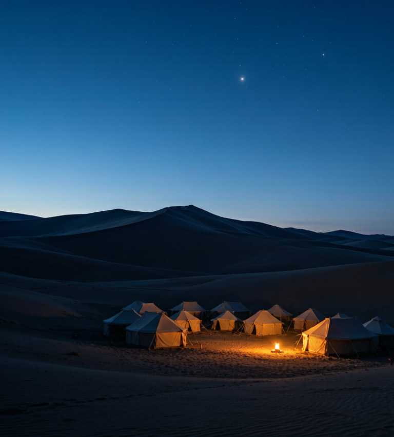
The county town on this route is where to overnight, not the scenic stop, because the scenic stops have no quiet parking and no kitchen open after eight. In Xinjiang the hotels cluster along the through road and the value one is usually the second block back, five minutes from the misnamed central place and half the price. Ask for a room away from the yard, since the yard is where the trucks sleep. For the part people underestimate, see our [[southern-xinjiang-road-trip-the-ultimate-self-drive-guide-to-the-tarim-basin-and|Southern Xinjiang Road Trip: The Ultimate…]].
What winter does to this road
Between November and March you are planning around a gate that moves. The surface is fine. Snow chains help, warm layers in the cabin matter more, and a full tank matters more than both. The problem is that a pass at this height can shut for a day with no warning and reopen at dawn, and nobody announces it until somebody radioes it in. Drive it in summer and none of this matters. For the part people underestimate, see our [[self-drive-tourism-xinjiang-ultimate-road-trip-guide|Self-Drive in Xinjiang: What You Need to…]].
Fuel, and the gaps where there is nothing
The bad news is the distance between them through the middle sections, enough that a full tank is arithmetic rather than paranoia. Every town on this route has a station and every station takes cards, which is the good news. Fill before you leave anything with a city name on the map, even if the next is only ninety minutes out. I have been on a road in this region where the next fuel was two hours back, the reason being a closure, and the only thing that got me moving was a trucker with a spare can. If the timing is the question, our [[the-tarim-ring-road-a-self-drive-loop-around-the-taklamakan-desert|The Tarim Ring Road: A Self-Drive Loop…]] goes through it properly.