Southern Xinjiang Road Trip: The Ultimate Self-Drive Guide to the Tarim Basin and the Pamir
Why bother coming
If northern Xinjiang is about lakes and forests, southern Xinjiang (Nanjiang) is about desert, history, and culture. A self-drive loop through the Tarim Basin and up to the Pamir Plateau is one of the most rewarding road trips in Asia — but also one of the most demanding. You’ll cross the world’s largest shifting-sand desert on the Taklamakan highways, explore thousand-year-old oasis kingdoms like Kashgar and Khotan, and climb toward Pakistan through Tajik villages and glacial peaks. This guide covers the classic route, the practical driving details (permits, fuel, road conditions), the best season, and tips to do it safely and memorably, so that the hardest part of your trip is choosing which turn to take at the next oasis rather than worrying about whether you will reach it at all.
Last updated: July 15, 2026 · Written by Karl Huang, a Xinjiang travel specialist who has spent time across the region. Practical details are cross-checked against official tourism, transport, and border-regulation sources.
Route Overview
The southern loop follows routes used by Silk Road caravans for two millennia. The core circuit runs from Urumqi or Korla south through the Tarim Basin, linking the great oasis towns — Kuqa, Aksu, Kashgar, Khotan, Yarkand — that once sat like pearls along the desert rim, each fed by rivers draining the surrounding mountains and each a green island in a sea of sand. Two modern highways cross the Taklamakan itself: the north–south desert highway (Tarim–Kuqa to Minfeng) and the route via Lop Nur’s edge, turning what was a weeks-long caravan crossing into a few hours of driving through pure sand bounded only by windbreaks of desert poplar. The desert’s old name, “Taklamakan,” is popularly translated as “go in and you won’t come out,” a warning that the modern road has tamed but not erased, and a reminder of why fuel discipline matters here.
Historically this was the heart of the Silk Road’s southern branch, carrying jade, Buddhism, and trade between China, India, and Persia, and the same towns that fed the camels now fuel the cars with petrol and polo. From Kashgar the route turns west and climbs onto the Pamir Plateau via the China–Pakistan (Karakoram) Highway toward Tashkurgan and the Khunjerab Pass, the roof of the world made briefly drivable. Today the same geography — oases fed by meltwater, deserts in between, and high passes beyond — shapes every driving day, and the empty expanses between towns are not a bug but the point of the journey. Understanding this layout helps you plan fuel, water, and rest stops, because the gaps between services are real and the distances between towns can exceed what your fuel gauge suggests is safe, especially once you leave the main G3012 corridor for the quieter side roads that lead to the really interesting places.
The Classic Loop
A realistic 8 to 12 day loop looks like this. Start in Korla or Kuqa, exploring the Qiuci grottoes — among the oldest Buddhist cave art in China — and the Tianshan Grand Canyon, a red-rock gorge that makes a dramatic first stop and a good shakedown for your vehicle. Head west on the G3012 to Aksu, gateway to the Grand Canyon of the Tianshan, then continue to Kashgar, the undisputed highlight — spend two days in the Old City, the Sunday bazaar, and the Id Kah Mosque, and let the place sink in rather than ticking boxes on a list. From Kashgar, detour south to Khotan via the desert highway (or the southern Tarim rim road through Yarkand, a town with its own faded royal history) to see jade markets and oasis culture, then return north along the rim.
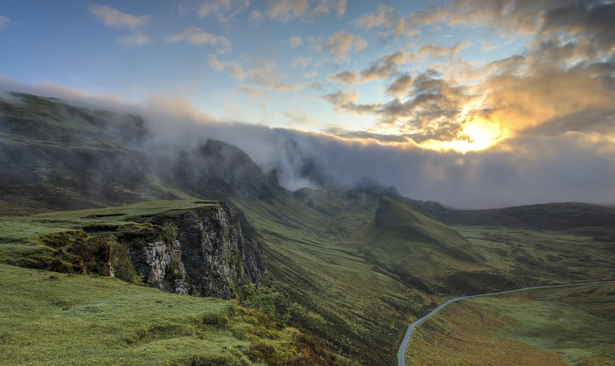
The showpiece is the Karakoram Highway (G314) west from Kashgar to Tashkurgan: white-sand lake, the stone city ruins, and Muztagh Ata’s glacier come into view, with the road itself a photo subject and the altitude a quiet reminder of where you are standing. For the truly adventurous, a segment of the Taklamakan north–south highway lets you drive straight across the “Sea of Death” between walls of poplars planted to hold the sand, an experience unlike any other road on the continent and one that demands a full tank and a clear head. Each leg mixes fast highway with slower town approaches; budget extra time for police checkpoints and the occasional closed pass, and resist the temptation to treat the schedule as fixed, because the road and the weather will revise it for you. Many drivers pair the loop with a flight in or out of Kashgar to avoid retracing steps and to save the long haul back to Urumqi, which adds little new scenery the second time and wears out a driver who has already done the best part. However you shape it, resist the urge to rush — the southern loop rewards those who stop, and a single unplanned oasis can outshine a scheduled highlight you queued an hour to see.
Practical Driving Info
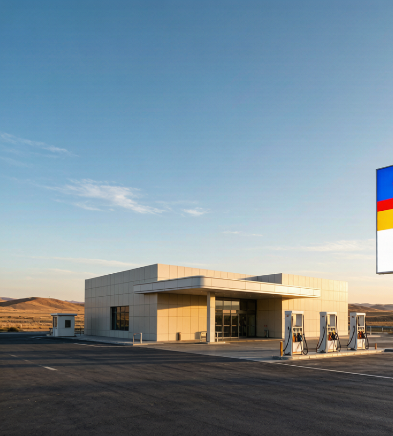
Southern Xinjiang driving has unique rules. First, permits: a border pass (边防证) is required for Tashkurgan and the Karakoram Highway; obtain it in Kashgar with your passport or ID, and allow extra time during peak season when the office is busy and the line is long. Some areas near the frontier may be off-limits without notice, so confirm before committing to the Khunjerab direction, and don’t argue at a checkpoint — compliance is the only sane policy. Second, fuel: petrol stations are frequent in towns but sparse in the desert; never let the tank drop below half between oases, and carry extra water and food, because a breakdown in the Taklamakan is no joke and help can be hours away rather than minutes, with temperatures that turn a wait into a danger.
Third, checkpoints: expect ID checks at county boundaries and scenic areas — keep documents handy and stay patient, as the process is routine and friendly once you relax and show your papers without fuss. Fourth, road conditions: main highways are excellent, but the Pamir section has climbs above 3,000 m with switchbacks and possible rockfall; winter closures are common above Tashkurgan, and even in autumn a sudden snow can seal a pass without warning. Fifth, navigation: download offline maps; signal disappears in the desert and along high passes, and your phone’s navigation will simply stop, leaving you to read the road signs in a language you may not read. Sixth, vehicle choice: a normal sedan or SUV handles paved highways fine, but the Taklamakan crossing and Pamir gravel side roads favor higher clearance and good tires, so consider renting accordingly rather than arriving and regretting it on the first rough patch.
Finally, never drive at night in remote stretches — wildlife, unlit carts, and fatigue make it risky, and a breakdown after dark can mean a long, cold wait with no signal and no passing traffic to flag down. Plan each day to end in a town with a real hotel rather than a roadside stop, and check the weather and pass status each morning before setting off, because conditions on the Pamir can change faster than the forecast suggests and the cost of being caught out is high. Carry a basic emergency kit — spare tire, jack, flashlight, water, and a warm layer — and note that Chinese petrol cards (中石油 / CNPC) are widely accepted, while mobile payment at rural stations can fail, so keep some cash for fuel just in case the network drops exactly when you need it most.
When to Go
The best window is May to October. Spring (May) and autumn (September to October) offer the most comfortable temperatures and clearest mountain views; autumn also brings harvest color to the oases and the famous golden poplars of the Tarim, a brief spectacle worth timing around and photographing at every opportunity. Summer is hot in the Tarim Basin (often 35 to 40°C) but fine on the cooler Pamir, where the altitude keeps days pleasant and the nights crisp. Winter closes high passes and many desert services, so avoid it unless you’re experienced, well equipped, and prepared for the possibility of being turned back at a checkpoint by snow that fell while you were sleeping.
Time your Kashgar visit to a Saturday to catch the legendary Sunday bazaar, when the livestock market alone is worth the detour and the human theater is endless. Check Pamir pass status before committing to the Khunjerab direction, as it can be weather-dependent and occasionally sealed even in shoulder seasons by a storm that clears by noon. If your dates are flexible, lean toward September: the heat has broken, the light is clean, and the crowds of the summer holiday have thinned, leaving the road quieter and the photographs cleaner than at any other time of year, with the poplars turning gold right on cue for your memory card.
One more timing note: if your interest is culture rather than landscape, aim for a festival. The Korla Peach Festival in spring, various horse-racing gatherings on the Pamir in summer, and the autumn harvest fairs in the oasis towns all add color and activity to the road, and a bazaar on market day is livelier than the same town on any ordinary afternoon. These events are local rather than national and rarely appear on generic travel sites, but they can turn a good trip into an unforgettable one if you happen to be in the right town on the right day, so check local calendars as you plan the loop.
Practical shortcuts
A few rules keep the trip safe and smooth. Travel with a companion or at least tell someone your route; the distances are vast and help can be far, and two vehicles are better than one on the desert crossings where a single flat can become a long afternoon. Keep a physical map and cash, since both signal and card payments fail in the desert and at small-town stations alike, and the nearest mechanic may be a hundred kilometers down a road with no name you can pronounce. Respect photography restrictions near military and border sites, and always ask before photographing people in villages, where courtesy opens more doors than a long lens ever will and a smile gets you further than stealth.
Acclimatize to altitude gradually on the Pamir, drinking water and limiting exertion the first day above 3,000 m, because altitude sickness here is real and can spoil the best part of the loop if you charge up the pass on arrival. Choose accommodation in town centers to simplify checkpoints, and start each driving day early to beat heat and afternoon wind, which on the open desert can sandblast a windshield and a camera in equal measure and cut visibility to nothing in a squall. Above all, build buffer days — the best moments in southern Xinjiang are unplanned stops at a roadside oasis or a teahouse in Kashgar, and a rigid schedule is the enemy of discovery on this loop. Treat the plan as a suggestion and the landscape as the boss, and the trip will give back far more than the itinerary promised when you drew it on the map back home with a optimistic pen.
What is worth carrying home
A southern Xinjiang road trip is a journey through the Silk Road’s living heart — desert highways, ancient oasis cities, and the high Pamir all in one loop. With the right permits, a full tank, and respect for the land and its people, it may be the most memorable drive of your life, and one that changes how you think about distance, history, and the open road itself long after you have returned the car, boarded the flight home, and forgotten the aches but kept the photographs.