Tekes: The Bagua (Eight-Trigram) City Laid Out as a Mandala
The Design
The bagua layout follows traditional Chinese cosmic geometry — a central park (the taiji dot), concentric ring roads, and eight spokes for the trigrams. The intent was harmonic and defensive (easy to read, hard to besiege). Today it’s a curiosity: a town you navigate by ring and spoke, where ‘take the third ring, second right’ actually means something. The central monument marks the center; climb it for the only true sense of the plan.
What to See
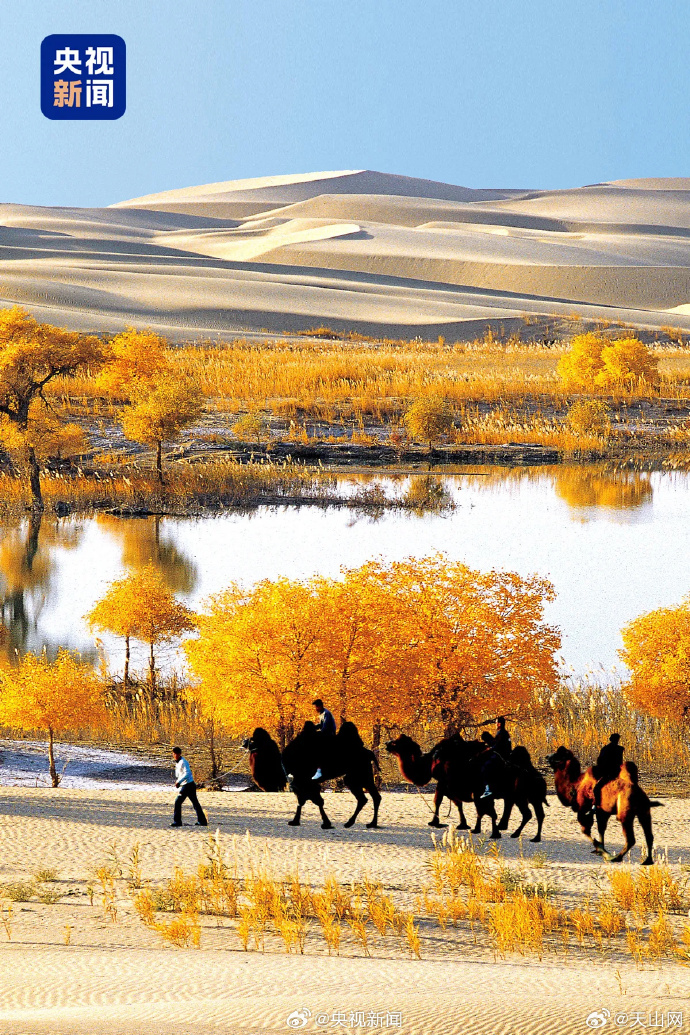
The center monument and its mural explain the layout; the surrounding rings are ordinary town. Nearby, the Tekes River and the grasslands beyond offer easy nature. The town is also a gateway to the southern Ili sights (Kuerdening is not far). It’s more ‘interesting concept’ than ‘must-see sight’ — worth an hour, not a day, unless you’re a design nerd.
How to Visit
Tekes is ~2 hours from Yining by road. Combine it with a Kuerdening day or as a stop on a southern-Ili drive. Lodging is basic; the draw is the idea, not the amenities. Go for the photograph from the central tower and the novelty of a town you can’t get lost in (the rings always lead back). It’s the region’s quirkiest stop — proof that Xinjiang’s maps hold more than mountains.
Why Bother
Most travelers skip Tekes, and that’s fair — it’s a concept more than a destination. But for the traveler who likes the odd and the planned, a bagua city in the Ili foothills is a genuine ‘only in Xinjiang’ footnote. Stop, climb the center, see the circle, and move on to the grassland that matters more.
The Bagua Layout
Laid out in the 1930s, Tekes follows traditional Chinese cosmic geometry: a central park (the taiji dot), concentric ring roads, and eight radial spokes for the trigrams. The intent was harmonic and defensive – easy to read, hard to besiege. Today you navigate by ring and spoke (‘take the third ring, second right’ actually means something), and the central monument marks the center; climb it for the only true sense of the plan from above.
Old town or the new city: where to sleep
Rooms in a converted courtyard house are small, bathrooms are shared more often than not, and the whole quarter goes quiet at eleven, which is either rest or a problem depending on your flight. The old town is the reason to stay in Tekes The Bagua Eight, but it is not comfortable in the way a business hotel is. The new city side is ten minutes by taxi, has the airport line, the supermarkets and the lifts, and is the right call with an early train or small kids. I have done both and I keep going back to the old town, but only in the season when the courtyards stay warm past ten.
What to do on a flat afternoon
The other answer is sleep. The bazaar in the shade, a tea house with a window, and a museum with the air conditioning running is what locals do, and it works. In Tekes The Bagua Eight the interesting half of the day is the morning, so the afternoon needs a plan or you burn it. Two hours after lunch is not laziness at this latitude, it is how the day is built here, and fighting it costs you the evening as well.
What locals do on a weekend
This is the cheapest research you will do in the region. Sit where they sit and order what they order. Follow them for half a day and you find the Tekes The Bagua Eight the guidebooks skip. Families go to the park in the late afternoon, the young crowds to the tea house with the music, and the whole city eats in the same lane every Saturday for reasons nobody can explain. That stretch of the trip is described in our [[tekes-bagua-city-and-kuerdening-walking-a-city-shaped-like-an-eight-trigram-maze|Tekes Bagua City and Kuerdening: Walking a…]] too.
Eating your way across one street
The row of places behind the market serves the same dishes as the restaurant with the photograph on the wall, at a third of the price, to people who live here. Order one of each and share. You need no strategy in Tekes The Bagua Eight beyond picking the right street. Portions are large, tea arrives whether you wanted it or not, and the point of the meal is the sitting rather than the plate. That stretch of the trip is described in our [[tekes-bagua-city-and-kuerdening-walking-a-city-shaped-like-an-eight-trigram-maze|Tekes Bagua City and Kuerdening: Walking a…]] too.
What to See Nearby
The center monument and its mural explain the layout; the surrounding rings are an ordinary town. But Tekes is a gateway to southern Ili sights – Kuerdening’s forest-grassland is not far, and the broader Ili region holds Nalati Grassland and Sayram Lake for longer loops. It’s more ‘interesting concept’ than ‘must-see sight’, worth an hour unless you’re a design nerd.