Xinjiang Altitude Sickness: How to Prepare for the Pamir and Tianshan
Xinjiang altitude sickness hits on the Pamir and Tianshan. Learn the elevations, symptoms, prevention, and what to do if you feel ill at 3,000+ meters.

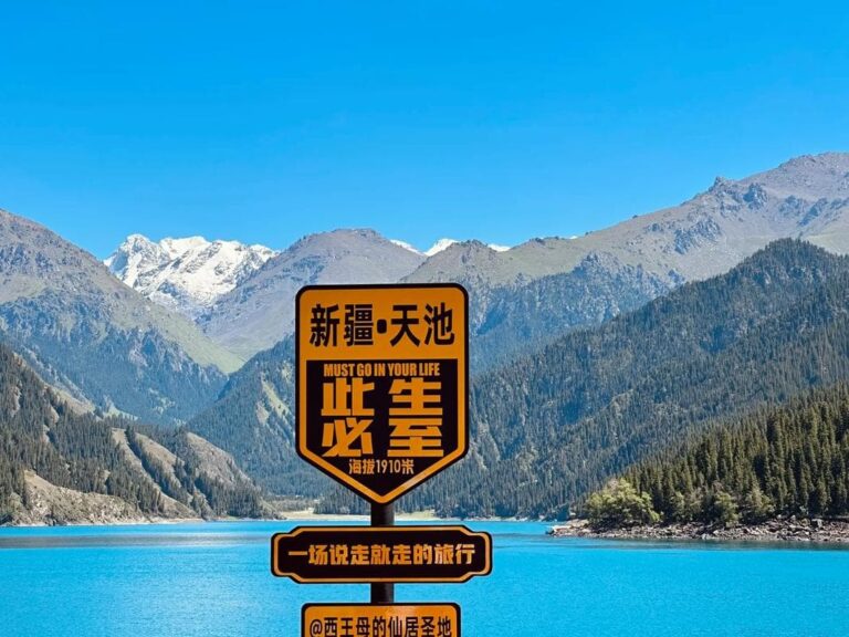
Xinjiang altitude sickness hits on the Pamir and Tianshan. Learn the elevations, symptoms, prevention, and what to do if you feel ill at 3,000+ meters.

Who the Pamir Tajiks are, where they live, their eagle dances, festivals and guest etiquette — a respectful traveler’s guide to Xinjiang’s Roof of the World.

Altitude sickness hits Xinjiang’s Pamir and Tian Shan hard. Learn the risky regions, a practical acclimatization plan, medication, and when to descend.

A practical guide to the Xinjiang border permit (边防证) for Tashkurgan, Karakul Lake and Khunjerab: where it’s required, how to apply in Kashgar, documents, cost and validity.

The Pamir highway climbs past 4,000m. Learn to prevent altitude sickness, what symptoms to watch, and how to travel the Karakoram safely.
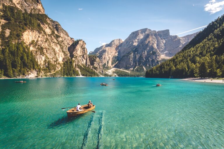
The Pamir Plateau around Tashkurgan sits at 3,000–4,700 m. Altitude sickness is common. This guide covers symptoms, prevention, and what to do if you feel unwell on the roof of the world.
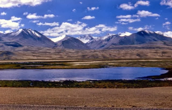
Karakul Lake sits at 3,600 meters on the Pamir Plateau, reflecting Muztagh Ata — the ‘Father of Ice Mountains.’ Here’s how to visit, where to stay, and why this is the most photogenic stop on the Karakoram Highway.

Tashkurgan sits at 3,100m and the Khunjerab Pass reaches 4,693m. Here’s how to prepare for altitude sickness, what symptoms to watch for, and where to find help on the Pamir Plateau.
Visiting Tashkurgan or the Karakoram Highway? You need a border pass. Here’s exactly how to get it in Kashgar, what documents you need, and how long it takes.
Panlong Ancient Road (盘龙古道) in the Pamir Plateau is a winding mountain road with over 600 curves. Learn how to get there, when to visit, and why it’s worth the detour from Tashkurgan.