Xinjiang Road-Trip Packing List: What to Bring for the Long Drives
Driving Xinjiang means 500 km days and sudden weather. Here’s a practical packing list for the Duku Highway, self-drive loops, and long transfers.

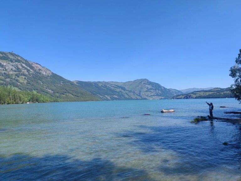
Driving Xinjiang means 500 km days and sudden weather. Here’s a practical packing list for the Duku Highway, self-drive loops, and long transfers.

Karamay Ghost City (Urho) is a surreal yardang landscape near the Duku Highway. Get there, ticket prices, best light, and photo tips in this practical guide.

Altitude sickness hits Xinjiang’s Pamir and Tian Shan hard. Learn the risky regions, a practical acclimatization plan, medication, and when to descend.
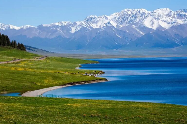
How to ride the rails across Xinjiang: the Lanzhou–Xinjiang high-speed line, the Urumqi–Kashgar sleeper, and when a train beats the famous Duku Highway.

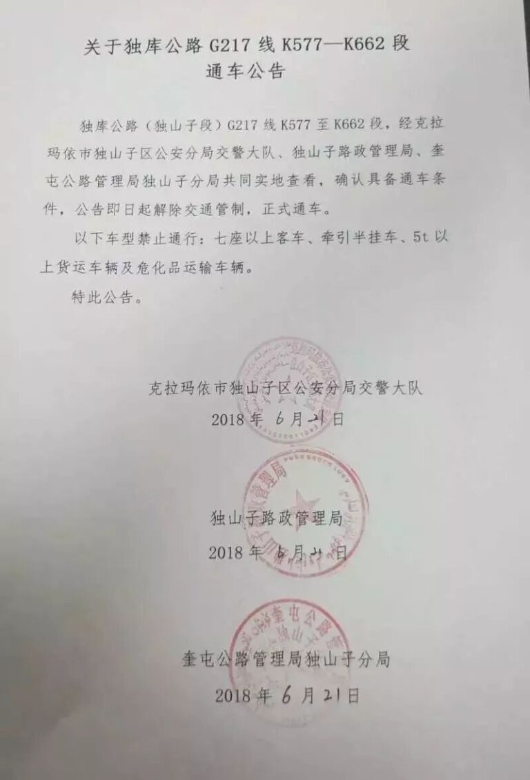
The Duku Highway crosses the Tianshan in one epic day. Learn when it opens, the must-stop viewpoints, and the prep that keeps the drive safe.
Renting a car and driving in Xinjiang: license rules, costs, and route planning for the region’s epic mountain roads.
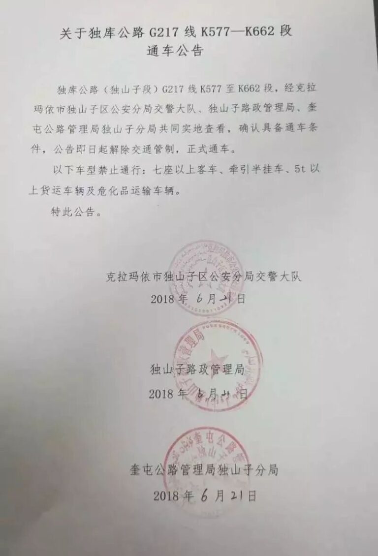
The Duku Highway crosses the Tianshan in a single day of scenery — snow peaks, canyons, and grasslands. Here’s how to drive it, when it opens, and what to know.

Xinjiang itinerary planning: chain the North and South loops, pick entry and exit cities, and avoid backtracking with sample 10-day and 2-week routes.

The Duku Highway (独库公路) is Xinjiang’s most scenic road — a 561km mountain highway connecting Dushanzi to Kuqa. This complete self-drive guide covers the route, best stops, driving tips, and when to go.
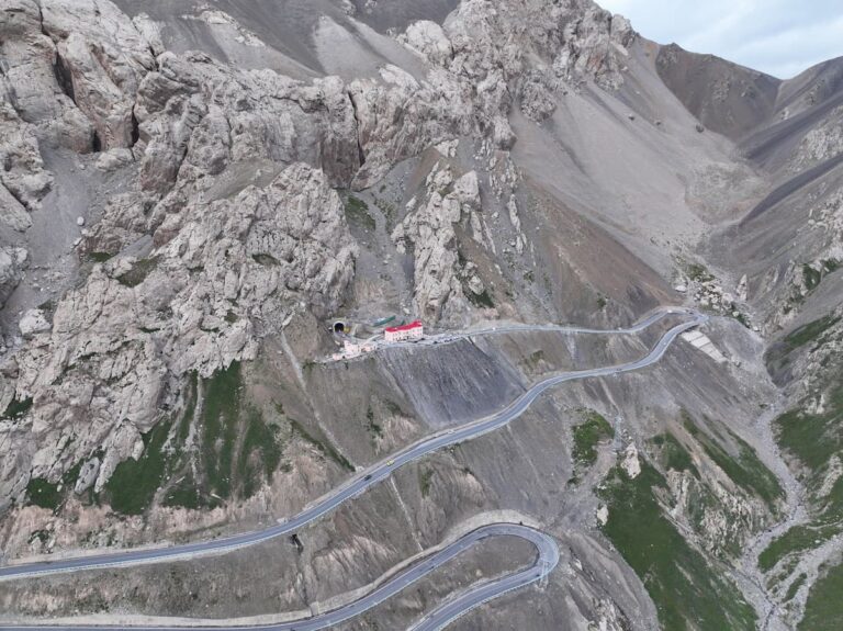
If you are planning a self-drive trip in Xinjiang, there is one road that should be at the top of your list: the Duku Highway (独库公路). This 561-kilometer (3…