The Silk Road Caravan Routes Today: What a Modern Traveler Retraces
The Silk Road was never one road but a web of caravan tracks linking oasis to oasis. You cannot ride a camel across it, but you can drive the same valleys the merchants walked — and the landscape has changed less than you might think.
The northern ribbon
From Urumqi west along the Tianshan foothills through Ili and on toward the Pamir, the modern G30 and the old northern Silk Road share a line. Our Sayram loop and Duku drive trace pieces of it, and standing on those passes you can see why the route ran where it did — water, grazing, and a passable saddle.
The southern ribbon
Down the Tarim Basin’s edge, oasis towns — Korla, Aksu, Kashgar — sit exactly where the caravans watered. The old-town guide to Kashgar describes the terminus of the whole system, the point where the roads from eight directions met and traded.
What survives
- Live caravan culture in Kyrgyz and Tajik villages near the Pamir, where yurts and horses still define life.
- The music: the Uyghur Muqam that travelled the road with the goods, still performed in tea houses.
- The towns themselves — still oasis islands in the same deserts that nearly killed the original traders.
How I retrace it
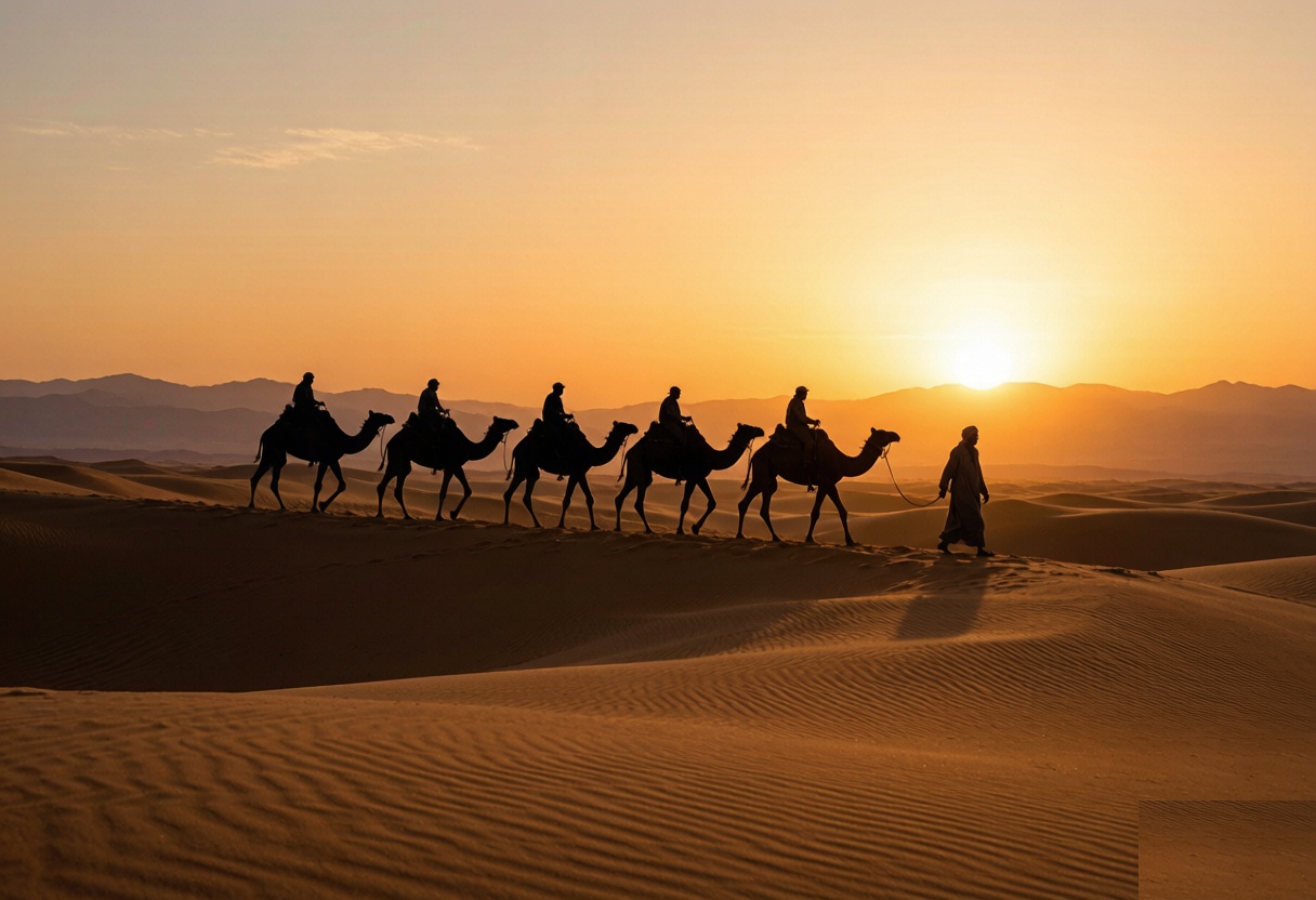
I pick one ribbon per trip and drive it slowly, stopping at the oases the map shares with the merchants. The landscape has not changed as much as the transport: where they led Bactrian camels, I lead a rented car, and the silence at the roadside is oddly the same. The road is older than the nation that maintains it.
A day retracing one ribbon
A good first taste: drive Urumqi to Turpan, then on toward Hami, stopping at the oasis towns rather than rushing. You are literally following the southern ribbon’s eastern end. Spend a night in a town, eat at the bazaar, and you have driven the Silk Road the way it was lived — in oasis hops, not straight shots. Our Turpan ruins guide maps the sites along the way.
Why it matters
Understanding the route explains everything else — why cities sit where they do, why the food changes every few hundred kilometres, why the checkpoints trace old gates. The caravan past is not nostalgia here; it is the operating system of the present landscape.
Fuel, and the gaps where there is nothing
The bad news is the distance between them through the middle sections, enough that a full tank is arithmetic rather than paranoia. I have been on a road in this region where the next fuel was two hours back, the reason being a closure, and the only thing that got me moving was a trucker with a spare can. Fill before you leave anything with a city name on the map, even if the next is only ninety minutes out. Every town on this route has a station and every station takes cards, which is the good news. Where most people get the logistics wrong is covered in our [[xinjiang-silk-road-history-guide|The Silk Road in Xinjiang: A Traveler’s…]].
What a local driver would refuse to do
A driver who knows this road gives you the honest distance. My host in Xinjiang said the pass was two hours, meaning two hours driving without the stops, and that is the number to plan around, not the one the map shows. What they will happily do is leave at five in the morning to catch the light, and that is the version worth asking for. What they will refuse is a night drive over the high sections in winter, and they are right.
A day you can actually drive
You don’t need a camel to retrace the road — you can follow its bones by car. From Urumqi, the Turpan oasis (the grapes, the ruins, the heat) is a straight run; from there the line runs west through Korla and Kuqa to Aksu and on to Kashgar, each a former caravan halt with a bazaar that still does what bazaars did. I pick one segment per trip rather than rushing the whole thing, because the interest is in the stops, not the kilometres.
Why it still matters
The point of driving it isn’t nostalgia — it’s that the modern map makes sense only against the old one. The same passes, the same oases, the same logic of water and distance. When you stand in Tuyoq or at the Subashi ruins and picture the caravans, the current towns around you click into place. I treat the route as a thread to pull through the rest of the trip: every bazaar, every melon stall, every checkpoint on a desert road is a descendant of the same trade. That’s the part no guidebook flight gives you.