The Ultimate Pamir Plateau Travel Guide (2026)
Stretching across the southwestern corner of Xinjiang, the Pamir Plateau is one of those places that rearranges how you think about distance, altitude, and silence. Locals and old Silk Road travelers call it the ‘Roof of the World,’ and once you stand on the G314 highway with nothing but snow peaks in every direction, you understand why. This Pamir Plateau travel guide pulls together everything a first-time visitor actually needs: where the plateau sits, how to reach it from Kashgar, what the border rules really require, and how to plan a trip that does not fall apart at 4,000 meters. I have driven this road, waited out permit checks, and watched the light move across Karakul Lake, and the advice below comes from those trips rather than a brochure.
Last updated: July 15, 2026 · Written by Karl Huang, a Xinjiang travel specialist who has spent time across the region. Practical details are cross-checked against official tourism, transport, and border-regulation sources.
| Best time | May–October (Karakoram Highway season). |
|---|---|
| How long | 3–5 days from Kashgar is typical. |
| Difficulty | High — high altitude and long road stretches. |
| Cost level | Mid-range; base in Tashkurgan. |
| Permit required | YES — border pass for Tashkurgan / Khunjerab. |
| Don’t miss | Karakul Lake, Muztagh Ata, Khunjerab Pass, Stone Tower Town. |
Where Is the Pamir Plateau?
The Pamir is not a single mountain but a tangle of them. Geographers call the region the ‘Pamir Knot’ because several of Asia’s greatest ranges, the Himalaya, Karakoram, Hindu Kush, and Tian Shan, all meet and fan out from here. The plateau itself rises in the southwest of China’s Xinjiang Uygur Autonomous Region, and the part most travelers see belongs to Tashkurgan Tajik Autonomous County.
The Roof of the World
The nickname ‘Roof of the World’ (in Chinese, ‘Shijie Wuling’) fits because the average ground here sits well above 3,000 meters, and the passes climb past 4,500. The air is thin, the sky is an almost violent blue, and the settlements are few and far between. For centuries this was the hard middle stretch of the Silk Road, the place caravans crossed to move between Kashgar and the valleys of Central Asia and the Indian subcontinent.
Borders and Neighboring Countries
Politically, the Pamir Plateau is a meeting point of four countries. To the west lies Tajikistan. To the southwest is Afghanistan, across the narrow Wakhan Corridor. To the south is Pakistan, reached through the Khunjerab Pass. To the northwest sits Kyrgyzstan. China’s side of the plateau is centered on Tashkurgan, and the county town is the main base for almost every traveler who comes this far. The international borders shape the trip in practical ways, mostly because reaching the southern edge means crossing into restricted border-control territory.
Getting There: The Karakoram Highway (G314)
The road that opens the Pamir to visitors is the Karakoram Highway, known in Chinese as the China-Pakistan Friendship Highway and marked as national highway G314. It runs south from Kashgar, climbs onto the plateau, brushes past Karakul Lake, and ends at the Khunjerab Pass on the Pakistan border. It is one of the highest paved roads on the planet, and parts of it are cut into bare rock above roaring rivers. The drive itself is the main event, not just a way to get somewhere.
Kashgar to Tashkurgan by Road
The distance from Kashgar to Tashkurgan is roughly 300 kilometers, but do not expect a quick run. Plan five to seven hours with stops, and longer if weather or checkpoints slow things down. The route leaves the oasis farmland around Kashgar and climbs steadily. Small stops along the way include Opal, where the mountain air begins, and Bulunkou, a high grassland where herders keep sheep and yaks. Police and border checks appear at several points, so keep your passport or ID and your border permit within easy reach. The road is sealed and in reasonable shape, but it twists and gains altitude fast, so take the drive in daylight and build in rest stops.
Tashkurgan County: The Stone Tower Town
Tashkurgan, often shortened to ‘Ta County’ by Chinese travelers, sits at about 3,100 meters and is the administrative and practical center of the Pamir. The name means ‘stone tower’ in Turkic, a reference to the stone fort that still stands at the edge of town and marked the spot for Silk Road caravans. Today it is a quiet, windswept place of low buildings, cold nights, and some of the friendliest people you will meet in Xinjiang. It is also the homeland of China’s Tajik ethnic group, who are culturally and linguistically closer to the people of Tajikistan and Afghanistan than to the Uygur communities of the lowland oases.
Tajik Culture and Daily Life
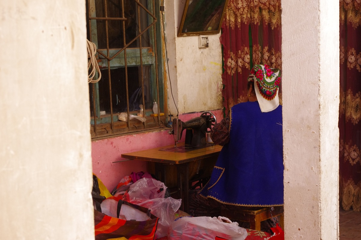
The Tajiks of the Pamir are a distinct community, and spending a morning in Tashkurgan makes that clear. Many speak a Pamiri language that belongs to the Iranian branch of the language family, not a Turkic one, and most follow Ismaili Islam. Hospitality is central to the culture. If you are invited into a home, you may be served milk tea, flat bread, and dried fruit, and you will likely hear about the eagle dance, a local performance where a man mimics the flight of an eagle with outstretched arms. The spring festival of Nowruz is the biggest celebration of the year, and if your trip lines up with it, the town comes alive with music and horse games.
Karakul Lake and Muztagh Ata
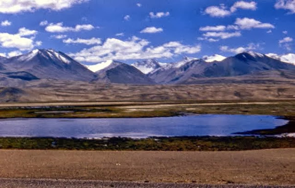
About 200 kilometers south of Kashgar, at close to 3,600 meters, Karakul Lake appears on the left side of the highway like a mirror dropped into the gravel. It is the single most photographed spot on the plateau, and for good reason.
Karakul Lake
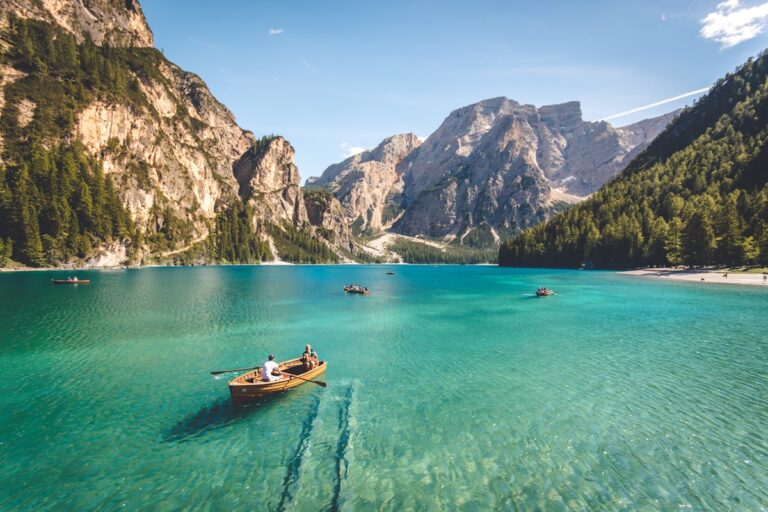
Karakul is a glacial lake flanked by three peaks, and the most famous of them is Muztagh Ata. On a still morning the mountain’s white face reflects perfectly in the dark water, and that reflection is what most people come to catch. Kyrgyz herders live around the shore in summer, and a few yurt camps take visitors who want to sleep beside the lake. The wind is sharp even in summer, so bring a warm layer no matter the month. The lake is also the handiest place to feel the altitude early, since you reach it before Tashkurgan, and a slow walk along the shore is a good way to test how your body is coping.
Muztagh Ata: Father of Ice Mountains
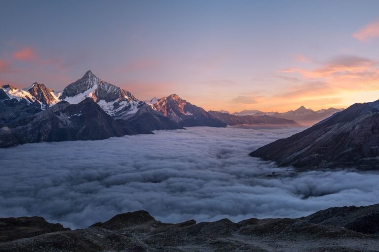
Muztagh Ata rises to about 7,546 meters and carries the local title ‘Father of Ice Mountains.’ It is a rounded, heavily glaciated peak rather than a sharp spire, and that gentle shape has made it a training mountain for climbers who want to attempt an eight-thousander later. You do not need to climb it to enjoy it. From the lake shore, the viewpoint near the highway, or the drive between Karakul and Tashkurgan, the mountain dominates the horizon for hours. Photographers favor the early morning and late afternoon light, when the ice turns gold and pink.
Khunjerab Pass: The Pakistan Border
At the southern end of the G314, the road crests the Khunjerab Pass, known in Chinese as Hongqilaofu. The pass sits above 4,700 meters, which makes it one of the highest border crossings in the world. On the far side the road drops into Pakistan’s Hunza Valley and eventually to Islamabad. For most travelers the pass is a turnaround point rather than a crossing, since crossing into Pakistan requires separate visas and permits. Even reaching the Chinese side of the pass is subject to weather and seasonal closure, and the thin air at the top is noticeable the moment you step out of the car. The landscape up there is stark and beautiful, with frozen streams and bare red mountains, and it gives you a real sense of standing at the edge of the map.
Best Time to Visit (May to October)
The simple rule for the Pamir is to go between May and October. Outside those months the plateau is hit by heavy snow, and both the Khunjerab Pass and stretches of the G314 can close. Within the open season the months feel different. May and June bring green grassland and wildflowers around Bulunkou and Tashkurgan. July and August are the warmest and busiest, with the longest daylight, though afternoon thunderstorms are possible. September and October are many travelers’ favorite window, with clear skies, crisp air, and the most reliable mountain views. If you want the Karakul reflection without wind, aim for a calm morning in September.
Altitude, Permits, and Staying Healthy
Two practical issues decide whether a Pamir trip goes smoothly: paperwork and oxygen. Both are manageable if you plan ahead.
The Border Permit (Border Control Area Pass)
Because Tashkurgan sits in a border control area, you need a Border Control Area Permit (边境管理区通行证) to travel past the checkpoint south of Kashgar. Chinese citizens can usually apply in Kashgar with their national ID; foreign visitors apply through the local public security office or their tour operator, and the process needs your passport. Arrange this a day before you leave Kashgar, not the same morning, because processing can take time and the checkpoint will turn you back without it. Keep the paper with you for the whole trip, since checks repeat on the road and at the county entrance.
Dealing with Altitude
The plateau ranges from about 3,100 meters in Tashkurgan to over 4,700 at Khunjerab, and altitude sickness is the most common complaint. The usual advice holds: spend a night in Kashgar at 1,300 meters to ease in, climb gradually, drink plenty of water, and skip heavy exercise on your first day up high. Avoid alcohol for the first couple of nights. Mild headache and poor sleep are normal; a pounding headache with nausea is a signal to descend. Most hotels in Tashkurgan can provide oxygen or bottled oxygen if you need it, and carrying a small canister from Kashgar is cheap insurance. Eat warm food, keep moving slowly, and your body will usually adjust within a day or two.
Places to stay
Tashkurgan has a real choice of lodging for a remote county town, from basic guesthouses to a few mid-range hotels, and the Pamir Hotel is the name most travelers know. Rooms are simple and heating matters more than luxury, since nights are cold even in summer. If you want to wake up at the lake, Kyrgyz yurt camps at Karakul take guests in the warmer months, though comfort there is basic and temperatures drop hard after dark. Many people base themselves in Kashgar and treat the plateau as an overnight or two-night loop, returning to the oasis each time. Booking ahead helps in July and August, when domestic tourists fill the rooms.
A 2 to 3 Day Itinerary from Kashgar
Most visitors approach the Pamir as a loop out of Kashgar. Here is a realistic plan that does not rush the altitude.
Day 1: Kashgar to Karakul Lake to Tashkurgan. Leave Kashgar after your permit is sorted. Stop at Opal and Bulunkou, reach Karakul Lake by mid-afternoon for the Muztagh Ata reflection, then continue to Tashkurgan and sleep there at 3,100 meters. This spread of altitude across the day helps your body adjust.
Day 2: Tashkurgan and the surroundings. Visit the stone fort and the Tajik village museum in town, then decide. If the pass is open and you feel fine, drive south toward Khunjerab for the high-mountain scenery and turn back before the border. If you prefer a slower day, explore the grasslands near town or rest and let the altitude settle. A second night in Tashkurgan is the smart call.
Day 3: Return to Kashgar. Drive back north, with a longer stop at Karakul if the morning light is good, and arrive in Kashgar by evening. If you have a fourth day, add it as a rest day in Kashgar rather than packing in more plateau driving.
For the whole overland route, my Pamir Highway Xinjiang Guide: Kashgar to Tashkurgan on the Karakoram Highway covers Kashgar to Tashkurgan, permits, and where to overnight.