Navigation and Offline Maps for Self-Driving Xinjiang: How to Drive Where There’s No Signal
What makes it special
Self-driving Xinjiang is a test of navigation as much as driving skill. The region is enormous, road signs are often only in Chinese, and mobile signal disappears for hundreds of kilometers at a time across desert and mountain. Relying on a live map app alone is a recipe for wrong turns and anxiety. This guide covers the offline tools and habits that keep you confidently on route from the first kilometer to the last.
The good news is that Xinjiang’s main highways are well marked and logically numbered, so once you know the system, long drives become straightforward. The challenge is the gaps: the unmarked junctions, the seasonal closures, and the detours around checkpoints that rarely appear on international mapping services. Preparation before you leave the city is everything.
Think of navigation here as layered. A phone app gets you most of the way, a downloaded offline region covers the rest, and a paper map plus your own notes handle the moments when both fail. Travelers who build all three layers rarely get lost, while those who trust a single tool often do.
Another habit that pays off is pre-driving the route mentally the night before. Open your offline map at the hotel, trace the highway numbers, and note where the long gaps fall. A ten-minute review turns a confused morning into a confident one, and it surfaces closed-road warnings or checkpoint notes you might otherwise miss until you are already on the road.
Finally, treat your phone as a tool, not a crutch. Mark your fuel towns, screenshot your permits, and write a paper backup of the day’s plan. When the screen goes dark or the network vanishes, the traveler with a notebook and a map keeps moving while the one dependent on live data waits by the roadside.
Getting in and driving out
Start your navigation setup in a city with good Wi-Fi, such as Urumqi, Kashgar, or Yining. Before leaving, download full offline map packages for the whole region, not just the cities. Map data for Xinjiang is large, often several hundred megabytes, so do this on hotel or cafe Wi-Fi rather than mobile data.
International apps like Maps.me and OsmAnd work well and let you download detailed OpenStreetMap data that includes many minor roads ignored by commercial services. A Chinese app such as Amap, also called Gaode, has the most accurate road and checkpoint data but requires a Chinese account and some Chinese reading skill. Many travelers keep both installed as a cross-check.
Rentals sometimes come with a built-in GPS or a dash unit. Confirm it covers your route and is updated, but do not depend on it alone, because rental GPS maps are frequently years out of date and miss new expressway sections. Your phone with offline data should be the primary tool.
A month-by-month read
Navigation is easiest from June to September, when all major passes are open and maintenance crews are active on the roads. During this window, even remote highways are busy enough that you can follow other cars if unsure. Spring and autumn bring occasional closures from weather, while winter adds snow and ice that change which roads are passable.
Avoid starting a long remote drive late in the day. Signal, light, and fuel all fade together, and a wrong turn after dark on an empty plateau is far more stressful than the same error at noon. Plan to reach your overnight stop with at least two hours of daylight to spare.
The highlights
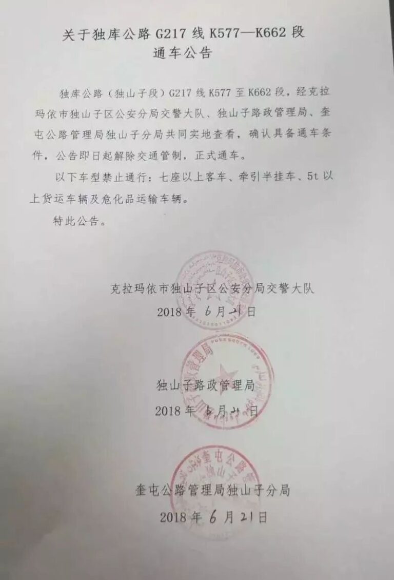
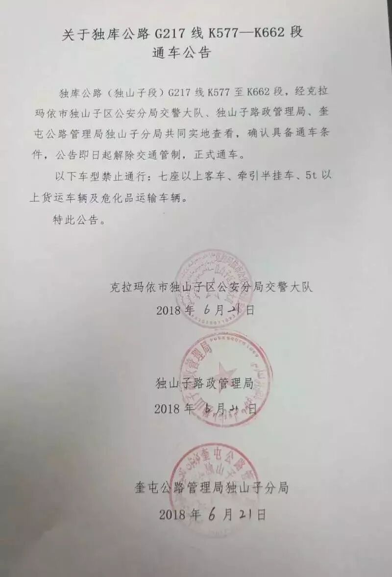
Use your maps to find more than the obvious stops. Offline apps reveal minor scenic pullouts, village teahouses, and lesser-known lakes that never appear in guidebooks. Along the Duku Highway, for example, the numbered viewing platforms are marked, but the best photo spots are the unmarked bends your offline map still shows as a wide verge.
Track your own waypoints as you go. Drop a pin at every fuel stop, checkpoint, and camp so you can backtrack precisely if a road closes. A simple list in your phone notes with distances and landmarks becomes a personal atlas more useful than any single app over a two-week trip.
Practice reading the terrain, not just the screen. In desert areas, a straight road and a compass bearing will keep you oriented even when the map is fuzzy. In mountains, follow the river or the power lines when in doubt; settlements and roads almost always run alongside them.
Share your live location with a contact when you do have signal, and send a final route plan before entering a dead zone. Even a basic message stating your start, planned stops, and ETA gives rescuers a search area if something goes wrong days later.
Bits that save time
Download everything before you leave the last city. Once signal is gone, you cannot fetch new map tiles, traffic info, or translated place names. Refresh your offline regions at the start of each new leg so any recently opened road is included in your data.
Learn the highway numbering. G-prefixed roads, such as G30, G7, G314, and G217, are national highways; S-prefixed roads are provincial. Knowing the number you need is faster than translating a destination name at a checkpoint, where officers may not speak English but will recognize a route number instantly.
Carry a paper map of Xinjiang as a physical backup. Bookstore maps in Chinese are fine because you mainly need the line of the road and the town dots, not the words. Mark your route in pen, circle fuel towns, and keep it on the dashboard where you can glance at it without unlocking a phone.
Save key phrases and screenshots. A photo of your destination’s name in Chinese characters, shown to a local, resolves more confusion than any translation app in a no-signal village. Keep screenshots of hotel addresses, checkpoint requirements, and your permit so they survive a dead battery.
What to add on
Good navigation opens side trips most tourists miss. With reliable offline maps, the short detour to the Tianshan Grand Canyon near Urumqi, or the back roads to small Ili Valley villages, becomes low-risk rather than intimidating. You can explore and still find your way back before dark.
Checkpoint towns such as Korla, Aksu, and Kuqa double as map-reset points where you can reconnect, re-download, and confirm your next leg. Treat each as a planning pause: refill water, check the forecast, and verify the status of any high pass ahead before committing to the remote stretch.
Lessons from the trip
Driving Xinjiang without signal is not difficult once you stop expecting your phone to do all the work. Build layered navigation, download before you depart, and keep a paper map as the anchor. The result is a trip where a dead zone feels like freedom rather than fear, and every unmarked junction is a puzzle you can solve.
The travelers who enjoy Xinjiang most are the ones who prepared their maps at a hotel desk the night before, then drove calmly into the silence knowing exactly where they were. Do the same, and the largest, emptiest region in China becomes not a navigation nightmare but the most satisfying drive of your life.
Start your preparation the evening before you leave the city, while Wi-Fi is still reliable. Download the full region, save your key destinations as screenshots, and lay a paper map on the dashboard. That small investment of time is what separates a stressful drive from a smooth one once the signal bars disappear.
Expect checkpoints to be part of the navigation story rather than an interruption to it. Officers along Xinjiang roads are accustomed to scanning IDs and route numbers, and a traveler who can show the planned highway quickly moves through. Build the stops into your time estimates so they never become the reason you arrive after dark.
Above all, enjoy the freedom that good navigation buys you. With the map handled, the empty plateau and the long desert straight become things to savor rather than fear. The largest region in China shrinks from intimidating to inviting the moment you stop wondering where you are and start enjoying the road ahead.
None of this is complicated once it becomes habit. Download, screenshot, mark, and carry a paper backup, and the lack of signal stops being a threat and starts being a feature of the trip. The quiet of a dead zone is easier to enjoy when you know exactly where you are and where the next fuel waits. Treat navigation as part of the adventure rather than a chore, and Xinjiang’s empty roads become the most relaxing driving you will do all year, not the most anxious.