Duku Highway Viewpoints: The Best Stops North to South
{ “@context”: “https://schema.org”, “@type”: “Article”, “headline”: “Duku Highway Viewpoints: The Best Stops North to South”https://www.xinjiangtraveltips.com/duku-highway-xinjiang-self-drive-guide/”>Duku Highway Self-Drive Guide: A Scenic Route Spanning the Spine of the Tianshan Mountains”, “description”: “In China#8217;s Xinjiang region lies the Duku Highway, hailed as “a scenic route traversing the backbone of the Tianshan Mountains.” This 561-kilometer…”, “url”: “https://www.xinjiangtraveltips.com/xinjiang-duku-highway-self-drive-guide/”, “datePublished”: “2026-02-25”, “dateModified”: “2026-02-25”, “mainEntityOfPage”: { “@type”: “WebPage”, “@id”: “https://www.xinjiangtraveltips.com/xinjiang-duku-highway-self-drive-guide/” }, “publisher”: { “@type”: “Organization”, “name”: “Xinjiang Travel Tips”, “url”: “https://www.xinjiangtraveltips.com” }
}
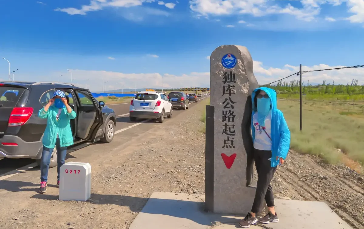
The Duku Highway (独库公路) is not a road you use to get somewhere — it is the somewhere. The 561 km between Dushanzi and Kuqa crosses the Tianshan through red canyons, high passes near 3,400 m, and southern grassland, and the stops are the point. Here is a north-to-south run of the viewpoints that actually deliver, so you are not stopping at every lay-by hoping for the best.
Before you drive: the rules that shape the stops
- Daylight only: roughly 08:00–19:00 in season; the gates close outside those hours.
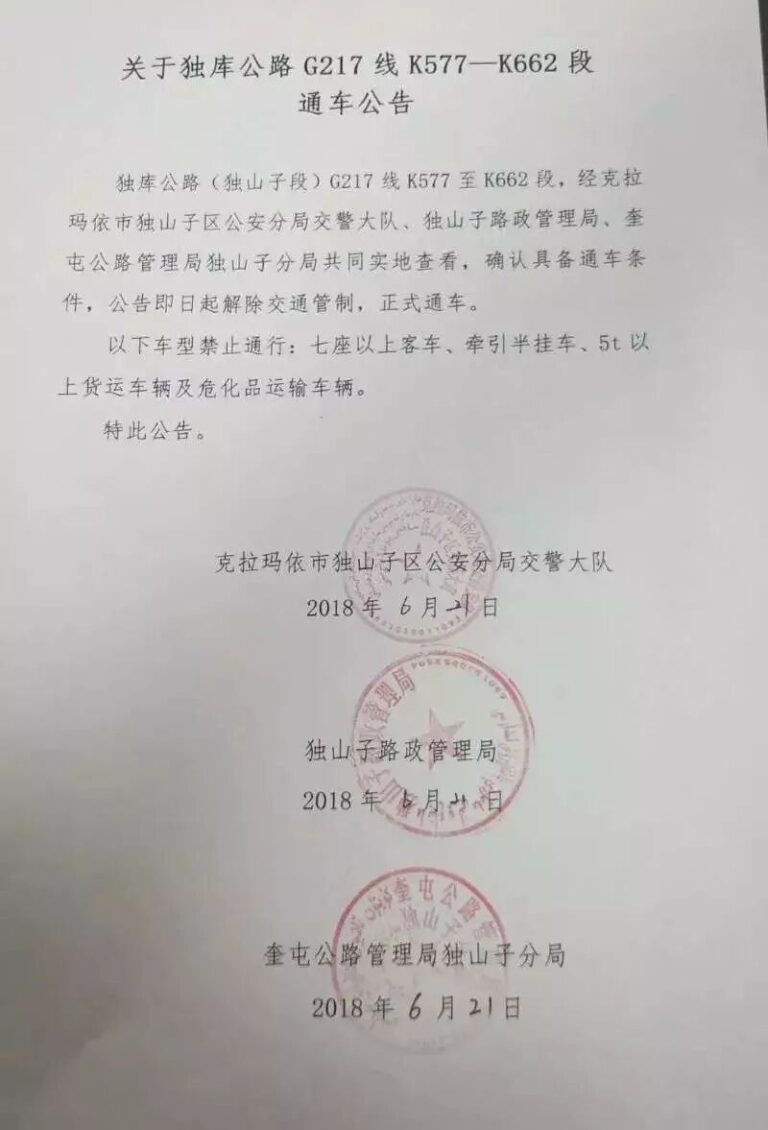
- Small vehicles: the road is restricted to 7 seats and below — no coaches or large RVs on the main alignment.
- One toll: the southern 盐水沟 (Yanshuigou) control point carries a small fee (around ¥20); there is no per-kilometre toll otherwise.
For the full drive narrative, see the main Duku Highway guide.
Segment 1 — North: Dushanzi to the Tianshan heart
The northern third is red-earth drama. The Dushanzi red canyon at the start is the warm-up; the real moment is the climb to the Hashilegen pass area (~3,400 m), where the road tunnels through snow year-round on the north face. Shoot the canyon walls in morning side-light, and stop at the pass lookout for the alpine switchback reveal. The north-end detail is covered in the Dushanzi-to-Tianshan section guide.
Segment 2 — Middle: the grassland notch
After the pass, the road drops into the green plateau that links toward the Narat and Bayinbulak grasslands. This is the gentle, photo-easy section: rolling pasture, herds, and big skies. Pull off where the verge is wide and safe — do not stop on the blind curves. Early morning mist here is the frame most people miss.
Segment 3 — South: Kuqa red rock and the gate
The southern descent into the Kuqa area is red-rock canyon country. The 盐水沟 (Yanshuigou) gateway is the photogenic stone gate where the small toll is collected. Shoot it from the approach, not at the booth. This southern end feels like a different climate from the north — and it is, by a lot.
What a local driver would refuse to do
A driver who knows this road gives you the honest distance. My host in Xinjiang said the pass was two hours, meaning two hours driving without the stops, and that is the number to plan around, not the one the map shows. What they will happily do is leave at five in the morning to catch the light, and that is the version worth asking for. What they will refuse is a night drive over the high sections in winter, and they are right. For the part people underestimate, see our [[duku-highway-xinjiang-self-drive-guide-2|Duku Highway by Season: Opening Dates and…]].
The checkpoints, honestly
They are short, they are not hostile, and the whole process for a foreign plate takes longer than for a local one because the officer has to make an entry. You will stop at checkpoints. Keep passport and car documents in the glovebox rather than the boot so you are not unpacking in front of a queue. Write down the address of tonight’s accommodation, because that is the question they ask. Nobody has ever been rude to me at one of these. They are tedious rather than dangerous, and the driver’s document pack is the only thing that makes them quick. For the part people underestimate, see our [[duku-highway-xinjiang-self-drive-guide|Duku Highway Self-Drive: What the…]].
What winter does to this road
The problem is that a pass at this height can shut for a day with no warning and reopen at dawn, and nobody announces it until somebody radioes it in. The surface is fine. Drive it in summer and none of this matters. Between November and March you are planning around a gate that moves. Snow chains help, warm layers in the cabin matter more, and a full tank matters more than both. For the part people underestimate, see our [[karakoram-highway-xinjiang-self-drive-guide|Karakoram Highway: The World’s Highest…]].
Photo timing per segment
- North canyon: morning, side-light on the red walls.
- Middle grassland: sunrise mist or late-afternoon gold.
- South red rock: late afternoon, when the stone glows.
Where Duku fits among Xinjiang’s roads
Duku is the headline, but it is one of several scenic byways. The scenic byways guide compares it with Panlong and the other roads worth a detour, so you can decide which to prioritise if time is short.