Offline Maps and Apps for Xinjiang: What to Download Before You Lose Signal
Download the right offline maps and apps for Xinjiang before you lose signal on remote highways and mountain passes.
Find out which Xinjiang attractions need internal travel permits and how to get approval before you reach the gate.
Budget a Xinjiang self-drive trip: real fuel, toll, rental, and insurance costs for the region’s long-distance routes.
A practical guide to camping and overland stopovers on Xinjiang’s open roads, from desert highways to grassland pullouts and stargazing spots.
How to navigate Xinjiang by car with no phone signal: the best offline map apps, paper backups, and route-planning habits for remote self-drive trips.
Easy self-drive loops within three hours of Urumqi, including Heavenly Lake, the Tianshan Grand Canyon, and grassland escapes for a perfect day trip.
Driving the G219 through Xinjiang’s far south from Yecheng toward the plateau border: what to expect, permits, fuel, and the wildest road in the region.
Drive the Tarim Basin ring road around the Taklamakan Desert: an oasis-to-oasis self-drive loop linking Hotan, Kashgar, Aksu, and Korla.
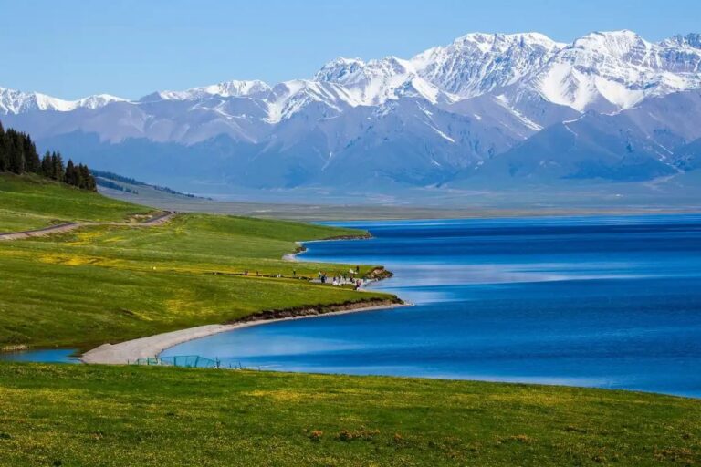
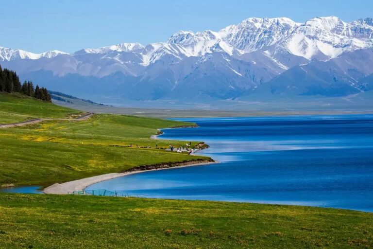
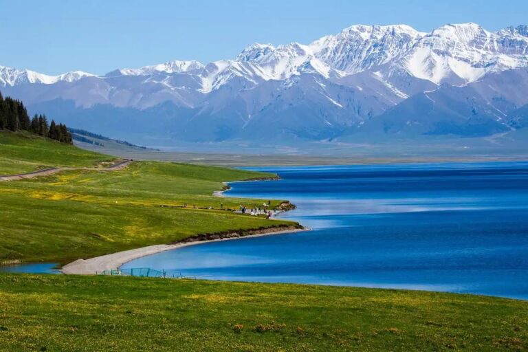
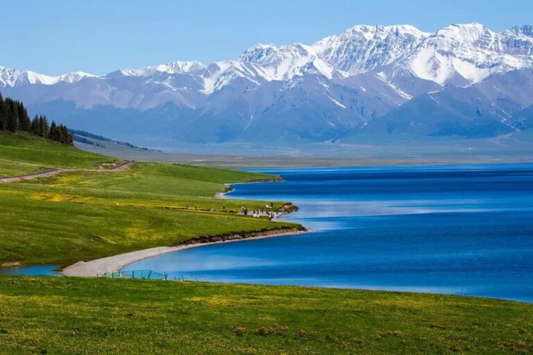
A self-drive loop around Sayram Lake and over the Guozigou Bridge in Ili: the most scenic alpine drive in northern Xinjiang, with tips and stops.
Self-drive from Karamay to World Devil City near Urho: a wind-carved Yadan landscape route with tips on timing, tickets, and the best photo stops.