Xinjiang Hiking Trails: The Best Day Walks & Treks (With Permits & Safety)
People picture Xinjiang as a place you drive through, but some of its finest views are earned on foot. I have day-hiked around glacial lakes and climbed to alpine meadows that no bus reaches. This is a practical starter list — real trails, real distances, and the permit-and-safety realities that separate a great hike from a rescue. The region spans everything from a flat lakeside stroll to a high Pamir ridge, so there is a walk here for almost every fitness level; the trick is matching the trail to your condition and the season. Pair it with our Nalati grassland guide if you want a gentle entry point.
Best Day Hikes
| Trail | Region | Distance (round trip) | Difficulty | Best season |
|---|---|---|---|---|
| Kanas Lake shoreline to Guanyu Tai | Altay (north) | 10–14 km | Moderate | Jun–Sep |
| Tianchi (Heavenly Lake) rim walk | Tianshan, near Urumqi | 6–8 km | Easy | May–Oct |
| Karakul Lake to pasture ridge | Pamir (Taxkorgan) | 8–12 km | Moderate | Jun–Sep |
| Nalati flower-meadow loops | Ili | 5–10 km | Easy–Moderate | Jun–Aug |
Kanas: The Classic Northern Walk
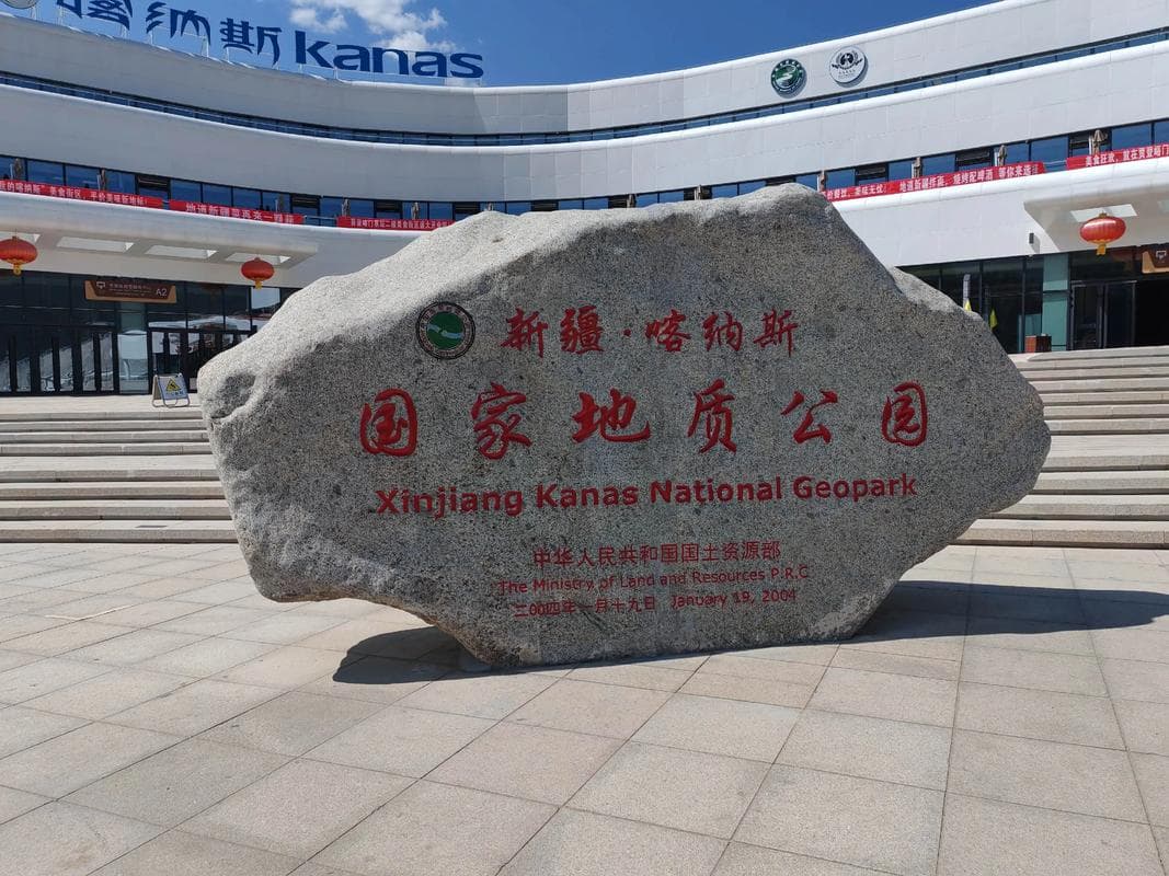
The shoreline path from the village to Guanyu Tai viewpoint is well graded and forested, with lake glimpses the whole way. Start early; afternoon buses and tour groups crowd the boardwalk. The full walk is half a day at a relaxed pace.
Tianchi: Easy Altitude Warm-Up
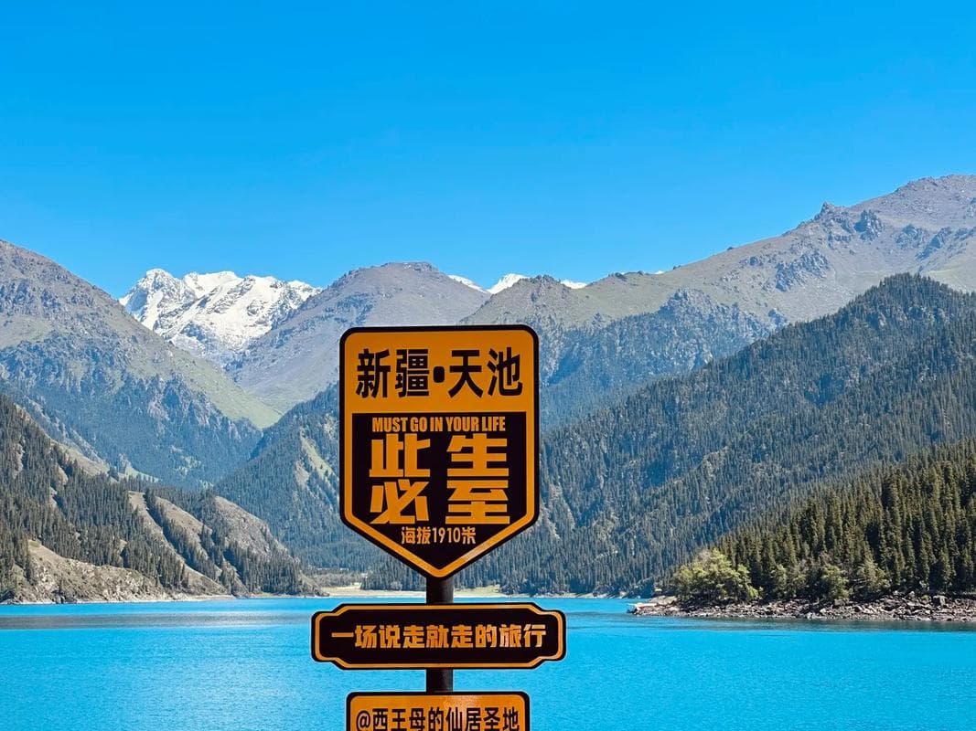
Just 90 minutes from Urumqi, the rim trail around Heavenly Lake is the safest first hike in the region — clear signage, rescue nearby, and a cable car if legs give out. Good for acclimatizing before bigger walks.
Karakul: The Pamir Ridge
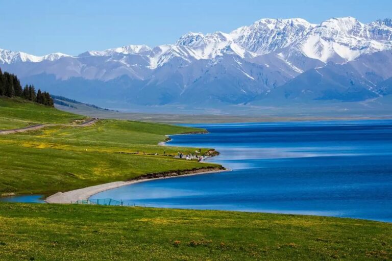
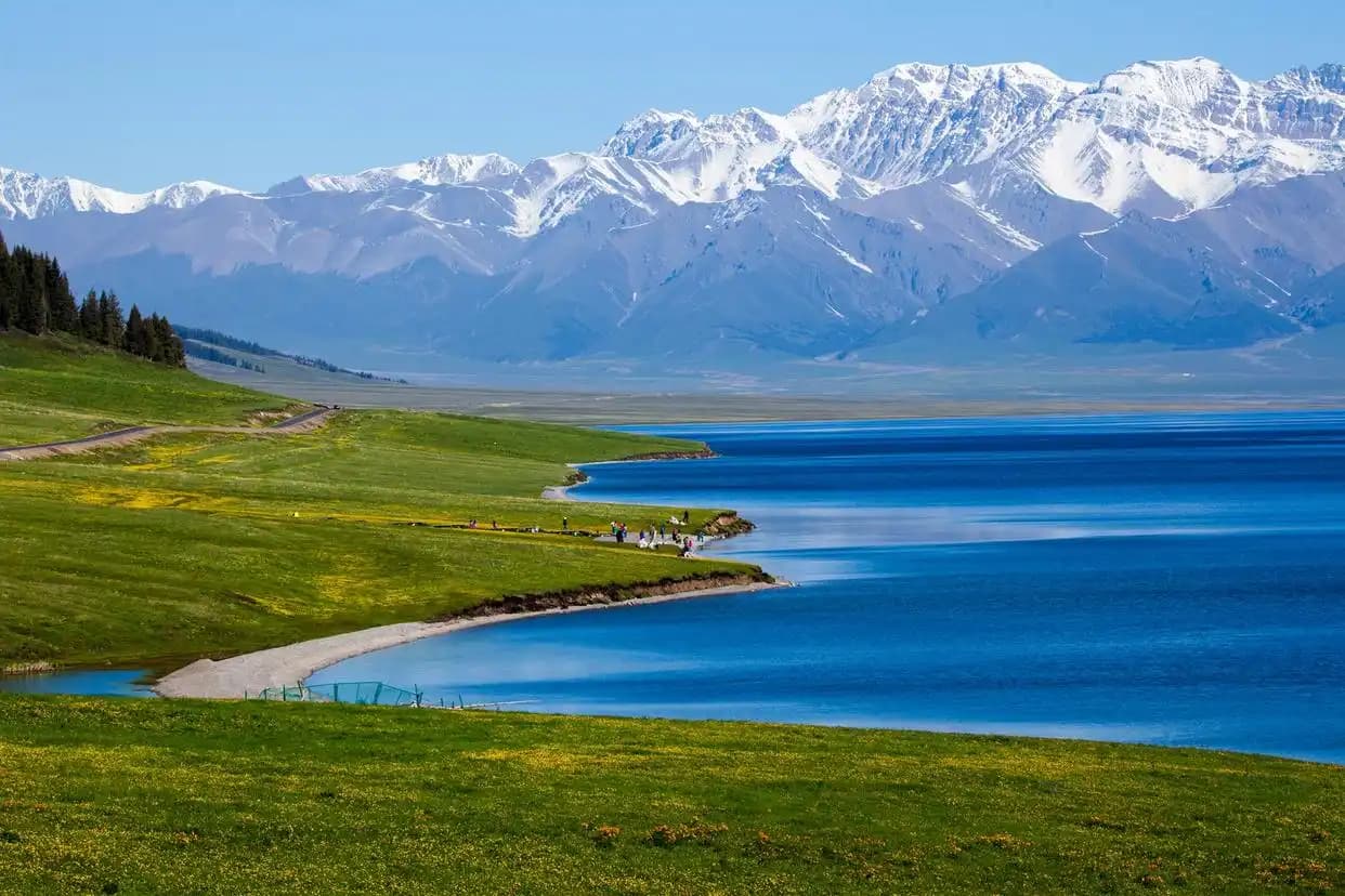
Below Muztagh Ata, the walk from the lakeshore up to a pasture ridge gives you the postcard reflection of the snow peak — if the wind is down. It is a steady climb on grass and rock, exposed to weather, and colder than the numbers suggest. Go mid-morning for the calmest light and the best chance the lake is mirror-still.
Nalati: Meadow Loops
The Ili grassland loops are the most forgiving — rolling flower fields with marked paths and occasional yurt tea stops. Pick a shorter loop if you are unsure; the views are generous even at low mileage, and you can always add a second loop if legs allow.
Multi-Day Treks
For fit, experienced hikers, the Kanas–Hemu cross-mountain routes and Pamir base-camp treks exist, but they need a local guide, horses for baggage, and proper permits. Do not attempt these solo or late in the season — snow can close passes by early October.
Concretely: the Kanas-to-Hemu route runs two to three days through spruce forest and alpine meadow, with guest yurts or your own tent each night; it is the most accessible of the big walks and still demands preparation. The Pamir approaches to base camps near Muztagh Ata are higher, colder, and quieter, best for July–August with a licensed operator. Budget for a guide fee, horse hire, and food carry — these are not cheap, but they open country no road reaches. Train on the day hikes first; if a 14-km day walk leaves you sore for three days, defer the expedition.
Permits & Safety
Most day hikes inside scenic areas are covered by your park ticket; you do not need a separate hiking permit for the marked loops. Border-zone treks near the Kyrgyz or Tajik frontiers require the border permit — arrange it in the prefecture capital before you go. Carry: 2L water, layers (weather flips fast), sun protection, and a downloaded offline map, since signal vanishes in valleys.
Gear I Actually Used
Trail runners for the graded paths, proper boots only if doing scree. A trekking pole saved my knees on the Kanas descent. Tell your guesthouse where you are going and when you expect back — old-school, effective.
Beyond shoes, the unglamorous kit matters most. A brimmed hat and SPF 50 — the UV at altitude is no joke and you burn before you feel it. Sunglasses with UV protection on snow or pale scree. A light rain shell even on blue-sky mornings; mountain weather flips in twenty minutes. A small first-aid strip (blister plasters, ibuprofen, diarrhea tabs) and your personal meds. And a power bank: cold drains phones fast, and a dead phone is a dead map. None of it is heavy; all of it has bailed me out.
What I Leave Behind
Skip the 3-kilo camera rig unless you are a pro — a phone plus a clip-on wide lens covers most shots and keeps your pack light. Skip the fancy GPS beacon for day hikes inside parks; your phone and a told plan are enough. Save the heavy stuff for the multi-day expeditions where rescue is genuinely far.
Training & Fitness Before You Go
You do not need to be an athlete, but the trails sit high and the air is thin. If your only exercise is walking to the fridge, spend two weeks beforehand on stair-climbing or hill walks so the first real ascent is not a shock. The Kanas walk gains a few hundred meters; the Pamir ridge gains more and starts high. Arrive a day early in each region to let your body adjust before lacing up.
Leave No Trace
Xinjiang’s fragile alpine meadows recover slowly. Pack out every wrapper and bottle, stay on the marked path (cutting switchbacks kills the grass for years), and never feed or approach wildlife. The herders who host you depend on this land; leaving it clean is the cheapest thanks you can give.
What to Do If Things Go Wrong
Tell someone your plan and return time before you leave — your guesthouse, your driver, anyone. If you are lost, stop, stay on the path, and use your offline map; do not bushwhack downhill hoping for a road. For altitude sickness (headache, nausea, breathlessness at rest), descend immediately — it is the only reliable cure. Cell signal is patchy, so do not rely on being able to call for help mid-trail.
Trail Food & Water
Bring more water than feels necessary — at altitude you lose it faster and there are no kiosks mid-trail. Two liters for a half-day walk is my floor; add electrolytes if you sweat heavily. Food is simple: naan, a few walnuts or dried apricots from a market, maybe a hard-boiled egg from breakfast. Eat a real meal before you start; a hangry hiker at 3,000m makes bad decisions. Pack a trash bag and carry it all out.
Best Time by Region
North (Kanas, Altay) is short and spectacular: late June for wildflowers, September for golden larch — both windows are crowded and brief, so book stays early. Central Tianshan (Tianchi) runs May to October. The Pamir (Taxkorgan) is best July to September once passes clear of late snow. Avoid all high trails after the first October snow; they can stay closed until the following spring.
A season by season read
Spring and early summer
No, for marked loops inside parks. Yes, for anything cross-valley, near borders, or multi-day.
Summer
Kanas and Tianchi are 1,000–2,000m — manageable. Pamir hikes start near 3,000m; acclimatize a day or two in Taxkorgan first.
Winter
Most parks close trails from November to April. Winter hiking here means avalanche and cold-risk terrain — not for casual visitors.
Rarely. Use an offline map app and follow the main graded path; when in doubt, turn back.
Tianchi rim walk — closest to Urumqi, safest, and still genuinely beautiful.