Tomur Peak: Standing Beneath Xinjiang’s Highest Mountain
I first saw Tomur Peak from the window of a slow train rolling west toward Aksu, a white pyramid of a mountain floating above a brown plain so flat it looked painted. I had come for the Silk Road towns and stayed for the mountains, but Tomur is the one that stuck with me — not because I climbed it (I didn’t, and almost no visitor does), but because it is the quiet roof of an entire range. Tomur Peak, known in Chinese as Tuōmù’ěr Fēng, is the highest summit of the Tianshan and the highest point in Xinjiang. This guide explains where it is, how ordinary travellers can see it, what permits are involved, and when to go.
The Roof of the Tianshan
Tomur rises to about 7,443 metres, making it the highest peak of the Tianshan range and the second-highest mountain in Central Asia after the Pamirs’ peaks to the south. It sits right on the border area of Xinjiang’s Aksu Prefecture, with the Tomur National Nature Reserve protecting the glaciers and alpine valleys that radiate from its base. The mountain is part of a knot of high summits — the “Tomur massif” — and its name is sometimes written Tuomuer. For travellers, the key fact is simple: this is the high point of the range you’ll be crossing on the northern Silk Road, and it’s visible from surprisingly accessible spots if you know where to look.
Height and Geography
The peak is a massive glaciated pyramid, and the Tomur massif holds some of the largest valley glaciers outside the poles. The surrounding reserve spans alpine meadows, glacial rivers, and high desert, which is why it was designated a UNESCO component of the Xinjiang Tianshan World Heritage site. The air up there is thin and the weather brutal, which is exactly why the mountain stays the province of serious expeditions.
Where Tomur Sits
Tomur lies in the far west of the Tianshan, administratively under Aksu Prefecture, with the Tomur National Nature Reserve and the Oytag area (famous for its glacier park) as the main gateways. Reaching the region means flying or taking the train to Aksu or Urumqi, then driving south and west into the mountains. The Tianshan travel guide is the best background read on the range as a whole before you plan this corner.
Getting to the Tomur Region
Aksu is the practical base. It has an airport with flights from Urumqi and a railway station on the main southern line, and from there the Tomur reserve and Oytag are a few hours’ drive south and west into the mountains. I spent a night in Aksu, hired a car for the day, and treated the mountain as a long out-and-back rather than a hub — which is the right mindset, because there is little tourist infrastructure once you leave the city. Hotels in Aksu are plentiful and cheap; the reserve lodges are basic. Fuel up, download offline maps before you leave (signal thins out fast), and tell your hotel the rough route. The drive pairs naturally with a broader Aksu stop on a southern Silk Road loop that also takes in Kuqa and the desert oasis towns, so you can see the highest mountain in Xinjiang without building a whole trip around it.
How to See Tomur Without Climbing
| Viewpoint | Where | Access |
|---|---|---|
| Oytag Glacier Park | South of Aksu, reserve edge | Vehicle + park ticket, short walk |
| Reserve overlook roads | Tomur National Nature Reserve | 4WD, permit check en route |
| Distant train/westbound highway | Aksu corridor | Free, weather-dependent view |
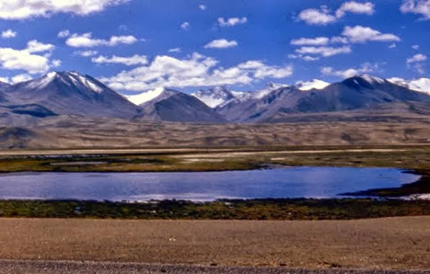
You will not get close to the summit without a mountaineering permit and weeks of acclimatisation, but the lower reserve and Oytag give you a genuine, jaw-dropping view of the massif and its glaciers. On a clear morning the white peak sits above green valley floors in a way that photographs badly only because it’s too big to frame. Bring a zoom lens if you have one; at the overlook the peak still looks small against the valley, and only the scale of the glaciers gives away its true size.
Permits and the Border Zone
| Permit / check | Where to get it | Notes |
|---|---|---|
| Border permit (边防证) | Aksu or county PSB office | Needed for some reserve approach roads |
| National Nature Reserve entry | Reserve gate / Oytag park | Ticket + vehicle registration |
| Mountaineering permit | Through authorised expedition only | Not for independent travellers |
The practical advice: treat the area like any controlled mountain zone. Carry your passport, ask at your hotel in Aksu what the current checkpoint requirements are, and don’t push past signed boundaries. Conditions and rules shift, so local confirmation beats any guide written a year ago. The Tianshan guide also covers general mountain access logistics for the range as a whole.
Best Time to Visit
| Season | Pros | Cons |
|---|---|---|
| June–August | Warm, roads open, green valleys | Crowds, afternoon thunderstorms |
| September | Clear air, golden meadows, few people | Nights freezing at altitude |
| Oct–May | Solitude, dramatic snow | Roads/snow closures, very cold |
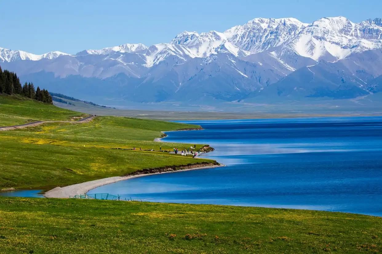
September is my pick: the skies are clear, the light on the snow is clean, and you share the valley with shepherds rather than tour buses.
Tomur vs Muztagh Ata
Travelers often confuse Tomur with Muztagh Ata, the “Father of Ice Mountains” by Karakul Lake in the Pamirs. They’re different ranges. Muztagh Ata is easier to approach — you can stand at its reflection in Karakul Lake — while Tomur is more remote and harder to reach. If you want a postcard-easy mountain view, the Pamir wins; if you want the highest summit in Xinjiang and a quieter expedition feel, Tomur is the one.
Trekking and Mountaineering Notes
For trekkers, the lower reserve trails and Oytag offer day hikes to glacier moraines and alpine lakes that don’t require technical skill, provided you’re acclimatised and equipped for sudden weather. Serious ascents of Tomur itself are expedition-grade: permits, guides, fixed camps, and weeks of acclimatisation. Independent travellers should plan for the viewpoint experience, not the summit, and build in buffer days for weather and checkpoints. I learned the hard way that “a short walk to the moraine” at 3,000 metres is a different beast than the same walk at home — go slow, carry water, and turn back the moment a headache or dizziness sets in.

Frequently Asked Questions
Can I climb Tomur Peak as a regular tourist?
No. Tomur is a 7,400-metre expedition peak requiring a mountaineering permit, guides, and extensive acclimatisation. Most visitors see it from the reserve or Oytag Glacier Park instead.
Do I need a border permit to visit the Tomur area?
Often yes for certain approach roads and the reserve edge. Rules change, so confirm at the Aksu PSB or your hotel before driving in, and always carry your passport.
What’s the easiest way to actually see the mountain?
Oytag Glacier Park south of Aksu gives the most accessible view of the massif and its glaciers. A clear September morning is ideal.
How is Tomur different from Muztagh Ata?
They’re in different ranges — Tomur is the highest Tianshan peak near Aksu; Muztagh Ata is in the Pamirs by Karakul Lake and far easier to approach.
When is the best season to visit?
September offers clear skies, golden meadows, and few crowds. June–August is warmer and greener but busier; winter brings closures and extreme cold.
Is the Tomur area safe for independent travel?
The accessible viewpoints are fine for independent travellers who respect checkpoints and weather. Don’t go past signed boundaries, carry documents, and tell someone your route.