White-Water Rafting and River Adventures in Xinjiang: Where to Paddle and What to Know
Most people picture Xinjiang as desert and snow peaks, not white water. I did too, until a guide in the Altai pointed at a churning, milky-blue river and said, “That is the Irtysh. We raft it.” Xinjiang‘s rivers are born from glacier melt off the Tianshan and Altai, and in early summer they swell into genuine, adrenaline-grade water. If you are an active traveler, the Koktokay and Altai region hides some of the best paddling in the country — you just have to know where, and when.
Xinjiang’s Rivers: A Surprising Paddling Destination
Three mountain systems feed the region. The Tianshan split north and south; the Altai in the far north send the Irtysh (Ertix) toward the Arctic Ocean; and countless seasonal torrents carve the gorges. Snowmelt means the season is short and fierce: high, cold, and fast from late May through July, then dropping to a calmer float by August. Plan around the melt, not the calendar. Unlike tropical white water that runs year-round, here the river you paddle in June is a different animal from the one you float in August, so timing your trip is half the adventure.
Best Rivers for Rafting
The table below reflects the routes I researched and the ones locals actually run. Difficulty is relative to melt-season flow.
| River / Section | Region | Peak season | Difficulty | Notes |
|---|---|---|---|---|
| Burqin (Bulun Tokay) stretch | North, Altai | Jun–Jul | Class II–III | Accessible base near Burqin town en route to Kanas |
| Irtysh (Ertix) upper | Altai / Koktokay | Jun–Jul | Class III–IV | Glacial, very cold; scenic granite canyons |
| Kanas outlet river | Kanas, Altai | Jun–Aug | Class II | Protected lake area; permits and guides required |
| Tianshan feeder gorges | Central Tianshan | Jun–Jul | Class III+ | Remote; only with expedition outfitters |
| Lower Tarim tributaries | South | Jul–Aug | Class I–II | Warm, slow, more float than thrill |
My Run on the Burqin
We launched at first light when the water was still glassy and the poplar trees threw long shadows. By mid-morning the melt had kicked in and the river turned pushy — not terrifying, but demanding. The guide barked strokes I barely understood, and we spun through a set of standing waves that soaked everyone in the front. By the takeout my arms burned and I was grinning like an idiot. It was the most physical fun I had in three weeks of travel.
What the Water Is Like
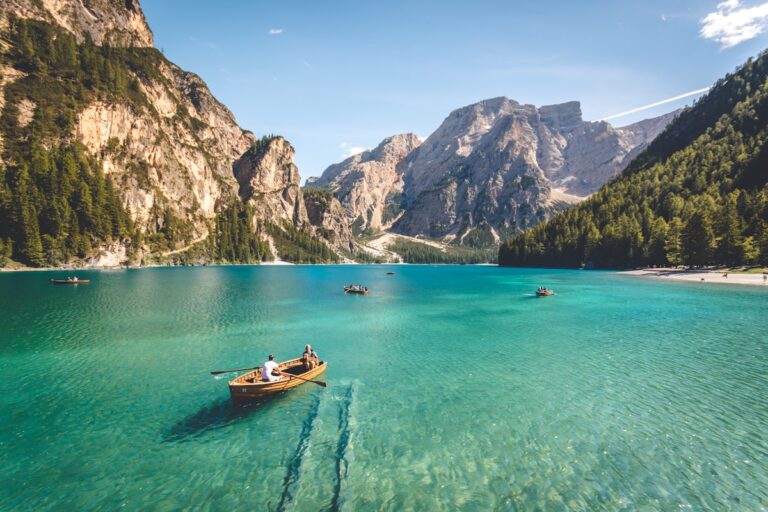
Glacial water is a shock — somewhere between 4 and 9 degrees Celsius even in July. A capsize is not fatal but it is deeply unpleasant, so dry suits or thick wetsuits are non-negotiable early in the season. The color is striking: a opaque turquoise where fine rock flour is suspended, turning grey-brown after rain.
What to Wear and Bring
- Wetsuit or dry suit (season-dependent), plus sturdy river shoes with grip.
- Helmet and a Type III–V life jacket supplied by any legitimate operator.
- Quick-dry layers, a wind shell, and a dry bag for the camera.
- Sun protection — reflection off glacial water burns fast at altitude.
Safety, Permits, and Guides
This is not a rent-a-canoe situation. Several of these rivers run through protected or border-adjacent zones. Use a licensed outfitter, never paddle solo, and confirm whether a Koktokay or border permit applies to your put-in. Reputable operators carry satellite communication because cell coverage vanishes the moment you leave the valley. If a “guide” has no helmet, no insurance, and no plan for extraction, walk away.
Combining Rafting with a Road Trip
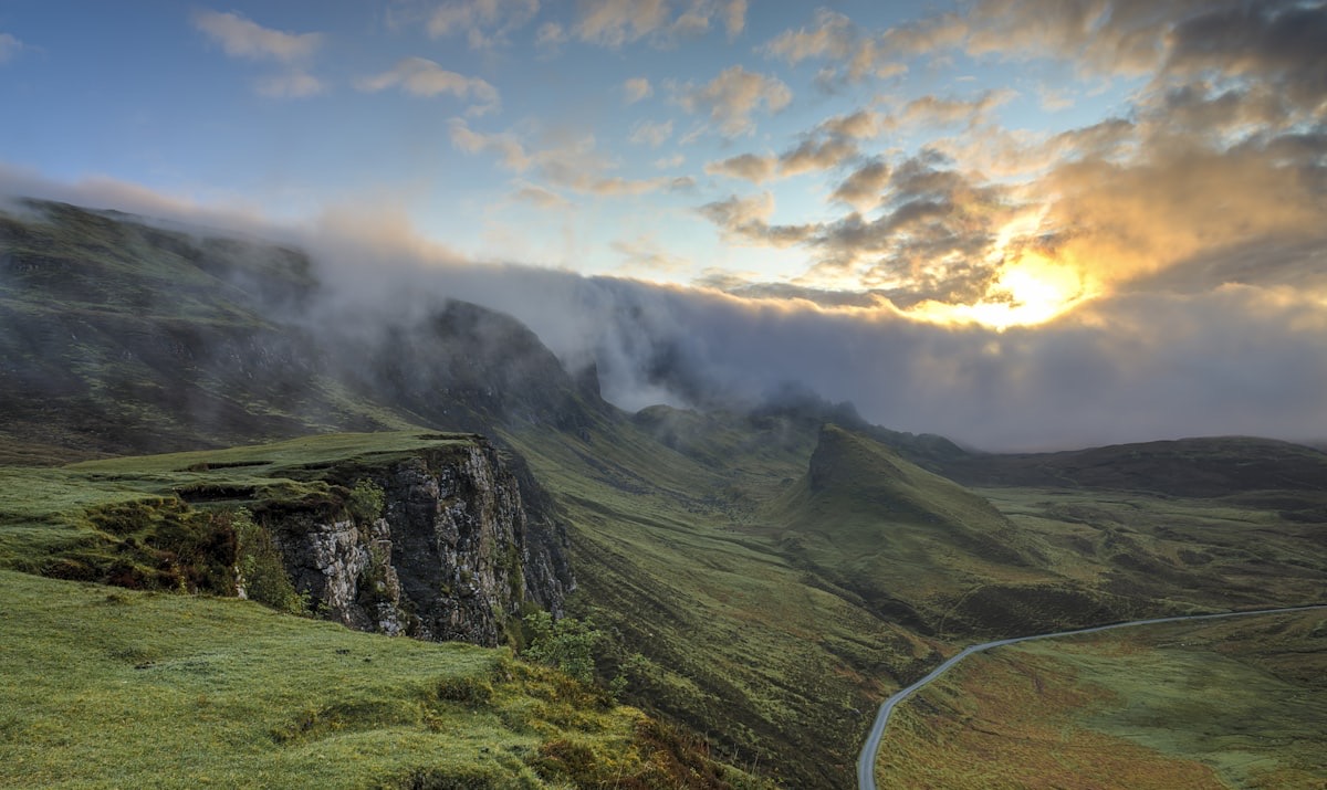
The beauty of northern Xinjiang is that the rivers sit on the same loop as the famous lakes. You can raft the Burqin in the morning and be photographing the scenic approach to Kanas by afternoon. Build the paddle as a half-day anchor in a wider Altai itinerary rather than a standalone expedition, and you get the adrenaline without the logistics of a full wilderness trip.
Reading the River: A Beginner’s Cheat Sheet
You do not need to be a hydrologist to enjoy a raft trip, but a few patterns repeat on every Xinjiang river, and learning to read them turns you from a passenger into a paddler. The first thing to notice is the wave train: a line of standing waves means a shallow, fast section where the boat will buck. The second is the eddy, the calm backflow behind a rock or bend where you can regroup — your guide uses these to rest and to line up the next move. The danger to avoid is a strainer: a fallen tree or fence that lets water through but catches bodies and boats. On glacial rivers, strainers are rare but the cold is the real hazard, so the rule is simple — stay in the boat, and if you are thrown out, swim aggressively to the nearest eddy and get your feet up only in shallow water.
What Your Guide Is Actually Doing
The person in the stern is not just along for the ride. They are reading the line — the single safest path through the rapids — a hundred meters before you reach it, calling commands you repeat without thinking: “Forward! Left! Stop!” Trust the calls. The worst thing a first-timer does is panic-paddle against the command. I learned this the hard way on the Burqin when I back-paddled against a “forward” call and spun us sideways into a rock. We bounced off, laughed, and the guide simply said, “Next time, listen.” He was right. The river rewards obedience, not heroics.
Grading and When to Step Up
Rivers are graded Class I (flat) to Class VI (unrunnable). Xinjiang’s melt-season runs mostly land at Class II to IV. Start at Class II–III on the Burqin, build confidence through July, and only consider the upper Irtysh or Tianshan gorges (Class IV) once you have a season behind you and a guide who knows the specific stretch. There is no shame in a float — some of the southern Tarim tributaries are Class I–II and perfect for a relaxed family morning.
Before you go: the things that matter
- Rafting in xinjiang safe for beginners — Yes, on the right section and with a licensed guide.
- Rafting season — Late May through August, peaking in June and July during snowmelt.
- Needing a permit to raft — Often yes, especially on the Kanas outlet and any border-adjacent stretch.
- Cold is the water — Glacial-fed rivers run 4–9°C even in mid-summer.
- Bringing my own kayak — Experienced paddlers sometimes do, but you must arrange permits, insurance, and a support vehicle yourself.
- Base myself — Burqin town in the Altai is the most practical hub — it sits on the river and on the road to Kanas, with guesthouses and outfitters.
Work through that list a few days before departure, not on the morning you fly. Most of the grief I have seen on this route comes from leaving it until the last minute.